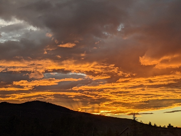
Hot and dry weather to continue through the weekend
Thursday, June 19, 2025
Temperatures have already reached eighty-six degrees in Steamboat Springs at the Bob Adams airport earlier this Thursday afternoon, and there may be a couple of degrees of further warming if the partly cloudy skies turn less cloudy. The arrival of this heat is well-timed, as the first day of astronomical summer occurs tomorrow at 8:42 pm when the sun reaches its northernmost point from the equator, and coincides with the shortest night of the year. An approaching storm will bring a hot, dry and windy Friday, followed by a cooler and less windy, but still breezy, weekend.
A ridge of high pressure is over the Rocky Mountains while a strong and persistent storm in the Gulf of Alaska, discussed in my last weather narrative, is moving toward the Pacific Northwest coast. The storm will cross the coast on Friday while pushing the ridge eastward, substantially increasing our southwesterly winds and fire danger, with mountain-top winds as high as 60 mph possible. Temperatures will again reach the upper-eighties, well above our average of seventy-seven degrees, under mostly sunny skies.
A few degrees of cooling are forecast for a less windy, but still breezy, Saturday as the hot air mass pushes eastward. More cooling and temperatures around eighty degrees are forecast for Sunday as energy ejecting from the storm is deflected to the northwest and a weak cool front brushes our area.
The storm is forecast to move into Idaho early Sunday, but its southward progress is stalled by the stout ridge of high pressure now centered over the Southeast. Like the ejecting energy on Friday, it too is forecast to rotate to the northwest and drag another cool front through our area on Monday, keeping high temperatures in the low-eighties.
Meanwhile, energy rotating around low pressure over Hudson Bay will drag a mass of cold air from western Canada toward Idaho early in the workweek, reinvigorating the area of low pressure over the West. Combined with a building ridge of high pressure over the Southeast, we may begin to see the first hints of the North American Monsoon next week as moisture is drawn northward from the Mexican Plateau in the southerly winds between these two features.
So enjoy what will certainly be a very summery first weekend of summer, and I’ll have more details on what may be the beginnings of our monsoon season in my next regularly scheduled weather narrative on Sunday afternoon.


