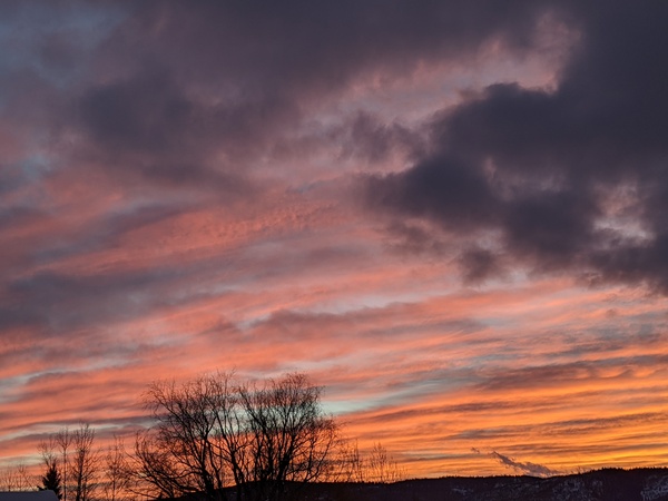
Nice weather on Monday to precede a cold storm later Tuesday and Wednesday

Sunday, February 9, 2025
Skies have cleared this Sunday mid-afternoon in Steamboat Springs with temperatures in the upper twenties in town and upper single digits at the top of the Steamboat Ski Resort. A mostly sunny Monday will precede a mostly cloudy Tuesday ahead of a couple waves of frigid air from the north bringing snow for Wednesday. Thursday morning will see the coldest temperatures of the week ahead of increasing temperatures and moisture starting Friday.
After 10” at mid-mountain at the Steamboat Ski Resort Saturday morning, and 13” up top, the small storm last night delivered an additional 5” of fluff at mid-mountain and 8” up top thanks to ideal snowflake-forming temperatures, cold winds from our favorable northwest direction and jet stream energy.
An expansive vortex of cold air currently sits over most of Canada, a sharp ridge of high pressure extends south from Alaska, and a strong storm just to its west is evolving near the Aleutian Islands. A wave of energy that traveled over the ridge has mixed with frigid air from western Canada, with another such wave quickly following.
These waves will bring a couple of surges of arctic air through our area later Tuesday and Wednesday along with fluffy snow that will likely accumulate fastest on Tuesday night, and may or may not continue through Wednesday night. Snowfall accounts for the entire storm are currently modest, with model blends predicting around six inches, but amounts could be inflated by the fluffy snow, as they were last night. My guess would be 2-5” by the Wednesday morning report with another 2-5” possible on a cold Thursday morning, with low temperatures in town dropping to the minus single digits, and perhaps minus teens if skies clear before sunrise, well below our average of 7 F.
Ahead of that, Monday looks quite nice with mostly sunny skies and high temperatures in the twenties, around five degrees below our average of 33 F, A mostly cloudy Tuesday could keep high temperatures several degrees cooler before the first arctic front begins light snowfall as early as Tuesday afternoon and drops temperatures.
Meanwhile, the Aleutian storm is forecast to shed a wave of energy incorporating some tropical moisture in an atmospheric river on Tuesday before it travels through the ridge of high pressure on Wednesday. Additionally, cold air from western Canada will also slide further west across Alaska, severing the ridge of high pressure and forcing a pattern change in the jet stream. This will not only push the arctic air northward and away from our area, but will also allow the atmospheric river to impinge on California on Thursday and approach our area on Friday.
We could see several days of dense snowfall from this arrangement, but there could still be changes in the forecast this week. So enjoy a nice Monday and the wintry weather that follows, and check back for my next regularly scheduled weather narrative on Thursday afternoon where I’ll have more details on the incoming atmospheric river for next weekend.


