A couple of storms to bring snows this week
Monday, March 27, 2017
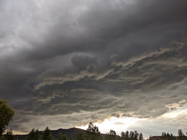
A major spring storm currently in Utah will move across the Four Corners region by tomorrow morning as it forms a large closed circulation cut off from the jet stream. Energy ejecting out ahead of this storm will continue to bring light showers to the Steamboat Springs area tonight with snow levels starting above about 9000′ before lowering to near the valley bottom by the morning. Accumulations will be limited, however, by some dry air being pulled northward overnight, and I would only expect up to an inch or two by the Tuesday morning report.
The weather gets interesting on Tuesday as the southerly flow ahead of the storm taps very moist air from the Gulf of Mexico and transports it northward along the Front Range. A TROWAL with persistent snows will likely develop somewhere west of the Continental Divide on Tuesday as the moist air from the Gulf is lifted above the cooler air near the surface.
There is disagreement among the models about where the area of enhancement will occur, but along with the easterly winds across the northern part of the storm, some areas will pick up 4-8” of snow during the day. I cannot say if Mount Werner will be a beneficiary of the persistent snowfall, but it is a possibility.
Regardless, snows will diminish Tuesday night before ending during the day Wednesday. We could see as much as 6-12”of snow by Wednesday morning if the TROWAL forms over our area on Tuesday, or well less than half that if your snow dances are not dutifully performed tonight.
Conditions will clear later Wednesday with temperatures quickly warming back to above normal on Thursday. Concurrently, another strong storm crosses the West Coast and takes a very similar track across the Great Basin as the current storm.
Models have showers starting by Friday as energy is ejected out ahead of the developing storm. This storm looks to be wetter and colder, possibly bringing significant accumulations to our area from later Friday through Saturday afternoon.
Brief ridging is advertised for Sunday and early Monday before another possibly strong storm affects our area by later Monday. At this point, the European ECMWF keeps the storm much weaker while the American GFS insists on another strong storm that will be colder than the preceding storm.


