
Steamboat’s two seasons
Friday, May 25, 2018
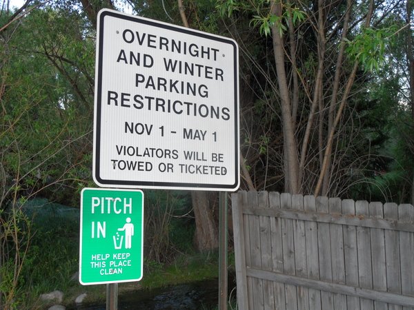 You may think that Steamboat has four seasons, but apparently there are only two - ski season and construction season!
Sometimes, they overlap.
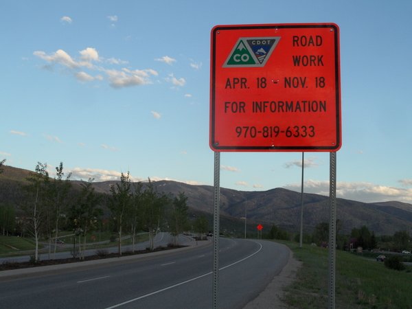 For those traveling to and from our little corner of paradise this summer, CDOT is halting road construction on Rabbit Ears Pass during our busiest times. Check out their latest updates here.
SnowAlarm also has some live CDOT cams archived and available to loop, if you want to see what you are getting into. Check those out here.
Gorgeous Memorial Day weekend on tap
Thursday, May 24, 2018
It’s time to break out the barbecues as summer-like weather will grace the Steamboat Springs area heading into and lasting much of this coming Memorial Day weekend. A large Pacific storm will cross the West Coast tonight and loiter in the Great Basin through the weekend. Southwest flow ahead of the storm will bring very dry and unseasonably warm weather to the central and southern Rocky Mountains, along with sometimes breezy conditions through Sunday.
The storm is forecast to wobble eastward late in the weekend, and energy ejecting out of the storm may drag some weak cool fronts through our area on Sunday and Memorial Day. The dry atmosphere on Sunday will preclude much change in the sensible weather, but a better chance of showers will occur Monday afternoon and evening, likely producing more wind than rain as the atmosphere remains relatively dry.
The storm is forecast to graze our area on Tuesday as it moves northeastward out of the Great Basin, with a smaller chance of still mostly windy showers by the afternoon.
A ridge of high pressure builds in behind the departing storm and ahead of another Pacific storm approaching the West Coast on Wednesday. A weak subtropical wave from the southwest may be strong enough to spark some afternoon and evening showers on Wednesday as it moves over Colorado, and there may or may not be a weaker wave for Thursday.
The forecast for the following weekend will likely be determined by the still uncertain evolution of the West Coast storm, though mostly benign weather is expected as the storm track is pushed northward by the strong late-spring sun.
Mostly nice weather for the week
Sunday, May 20, 2018
The storm that produced the unsettled weather for Steamboat Springs this weekend is now east of our area, but another Pacific storm is currently sliding down the West Coast, and will eventually take up residence in the Great Basin for the first half of the work week. Some energy ahead of the storm is currently moving northward across Colorado, and combined with some sun and residual moisture, will bring the chance of late afternoon and early evening storms to our area on this Sunday.
Southwest flow ahead of the storm to our west will bring some warmer and drier air into at least the northwestern corner of Colorado on Monday, likely keeping us warm and dry even as there is a better chance of afternoon and evening storms to our south.
But a wave of energy and moisture ejecting from the Great Basin storm will bring a good chance of afternoon and evening storms to our area on Tuesday.
The storm to our west is forecast to weaken as it moves northeast through the Great Basin by midweek, and we should see dry and warm southwest flow for Wednesday and Thursday as the storm initially passes to our northwest.
Interestingly, the storm is then picked up by the westerly flow along Canadian border, turning our winds westerly later Thursday and then northwesterly on Friday. This northwest flow will contain some moisture, though likely not enough to disrupt our usual sunny mornings, and bring a chance of afternoon and evening storms for Friday that should last through the weekend.
Unsettled weekend followed by warming and drying
Thursday, May 17, 2018
A Pacific storm complex will move across the Great Basin on Friday and bring a weekend of unsettled weather to the Steamboat Springs area. Dry and warm southwesterly flow ahead of the storm will continue our gorgeous late-spring weather for today and most of Friday, though we may see a chance of some late day storms tomorrow as moisture and energy from the approaching storm move over our area.
As the storm moves east of the Rocky Mountains on Saturday, a cool front will wash over our area and eventually the entire state. Showery and cool weather will accompany the front and linger behind it during the day Saturday, and there may be some snow at the top of Mt. Werner.
Conditions should improve on Sunday, with some warming temperatures and a chance of afternoon storms.
Another Pacific storm crosses the West Coast on Monday, and the southwest flow ahead of that storm will bring much warmer and drier weather into Colorado during the day.
This next storm is forecast to wobble across the Great Basin on Tuesday before some of the storm passes to our northwest. Some moisture and energy may graze our area on Tuesday, bringing the best chance of afternoon storms for the work week.
Some of the weakening storm is left behind in the Great Basin by Wednesday as it elongates to the northeast, with a chance of afternoon storms Wednesday if the northeastward-departing part is close enough to our area.
There should be a reduced chance of afternoon storms on Thursday before remnants of the storm left behind in the Great Basin eventually pass over our area toward the end of the work week, bringing a better chance of afternoon storms for Friday.
The forecast is muddled for the following weekend as models disagree on the fate of another Pacific storm that may or may not affect our area.
Seasonable work week ahead of possibly unsettled weekend
Sunday, May 13, 2018
A storm in the Great Basin has brought 4” of snow to the Snowbird resort in Utah and cool and cloudy weather to the Steamboat Springs area today. Behind the weak wave that ejected out of the storm and brought the morning clouds, we should see periods of sun later this afternoon.
The Great Basin storm undergoes an odd split, with some of the storm moving eastward near our area on Monday while the rest of the storm slowly moves northwestward. We’ll have a better chance of showers tomorrow, especially in the afternoon and evening.
Though Tuesday will be dry behind the departing piece of the storm, seasonably cool temperatures will be left behind.
Another Pacific storm crosses the West Coast on Wednesday and absorbs the remnants of the Great Basin storm. The southwesterly flow ahead of this new storm complex will bring dry air and warmer than average temperatures from the Desert Southwest over Colorado starting Wednesday and lasting through the rest of the work week.
The Pacific storm complex will move across the Great Basin and bring the possibility of cool and unsettled weather our area by next weekend. The European ECMWF, which incidentally verified better for the current storm, is not as cool and moist as the American GFS and advertises a shorter duration of the unsettled weather. So if that weather prediction model is right, we may see some warming and drying by the end of the weekend before both models agree with that forecast by early in the next work week.


