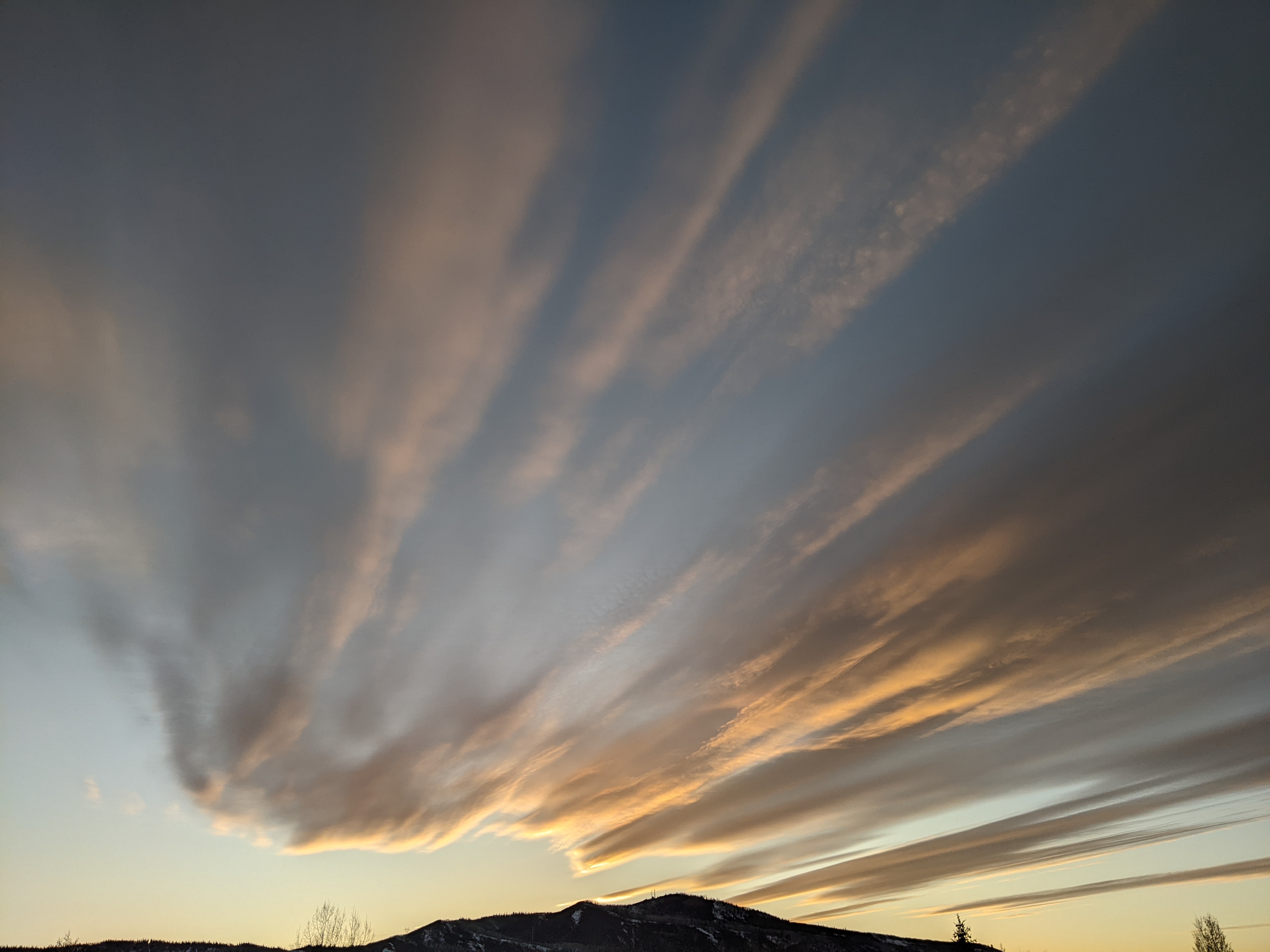
Nice start to the weekend after a warm Friday storm
Thursday, January 1, 2026
Cloudy skies are over Steamboat Springs this noon on New Year’s Day, with temperatures around thirty degrees in town and twenty-seven degrees at the top of the Steamboat Ski Resort. An approaching warm storm will bring significant snowfall above 8,000′ tonight and Friday ahead of nice weather to start the first weekend of 2026. Another warm storm is forecast to begin on Monday.
The remnants of a weakening eddy now over central California, part of which was left behind from the storm last weekend, has ingested tropical and subtropical moisture while it was vacationing off the West Coast earlier this week. The eddy is forecast to move through the ridge of high pressure over the Rockies that brought the gorgeous weather to the Yampa Valley this past week.
Snow showers will start this afternoon at the higher elevations, but snow levels around 7,500′ mean showers will be either liquid or a wintry mix at the lower elevations when precipitation eventually starts later this afternoon.
The eddy remnants are forecast to move through Nevada and Utah tonight, and Colorado on Friday. Very little cold air is associated with the storm, with temperatures dropping only a few degrees around noon on Friday, as a weak cool front passes with the storm.
But a lot of moisture, and first westerly and then northwesterly winds impinging on and lifted by the Park Range should create significant orographic, or terrain-lifted, snowfall above 8,000′. We could see 3-6” of snow at mid-mountain for the Friday morning report, with another 3-6” during the day. An additional 1-4” could fall through Friday evening in favorable, but drying, northwest flow behind the storm.
Meanwhile, a narrow trough of low pressure, extending southward from the Gulf of Alaska, will evolve in a complicated fashion through the weekend as waves of energy move eastward across the Pacific and southward from Alaska.
A transient ridge of high pressure forming over the West behind the departing storm and ahead of the eastern Pacific trough will bring warming temperatures and mostly sunny skies on Saturday. Weather forecast models agree that energy and moisture slingshot around the base of the trough will bring precipitation chances back to our area to start the workweek; however, it is uncertain whether mostly sunny skies will persist into Sunday for part or all of the day.
Enjoy what should be the first powder day of 2026 on Friday and a nice start to the weekend, and I’ll have more details on the Monday storm in my next regularly scheduled weather narrative on Sunday afternoon.


