Winter to reappear this weekend after high temperature records shattered
Thursday, December 25, 2025
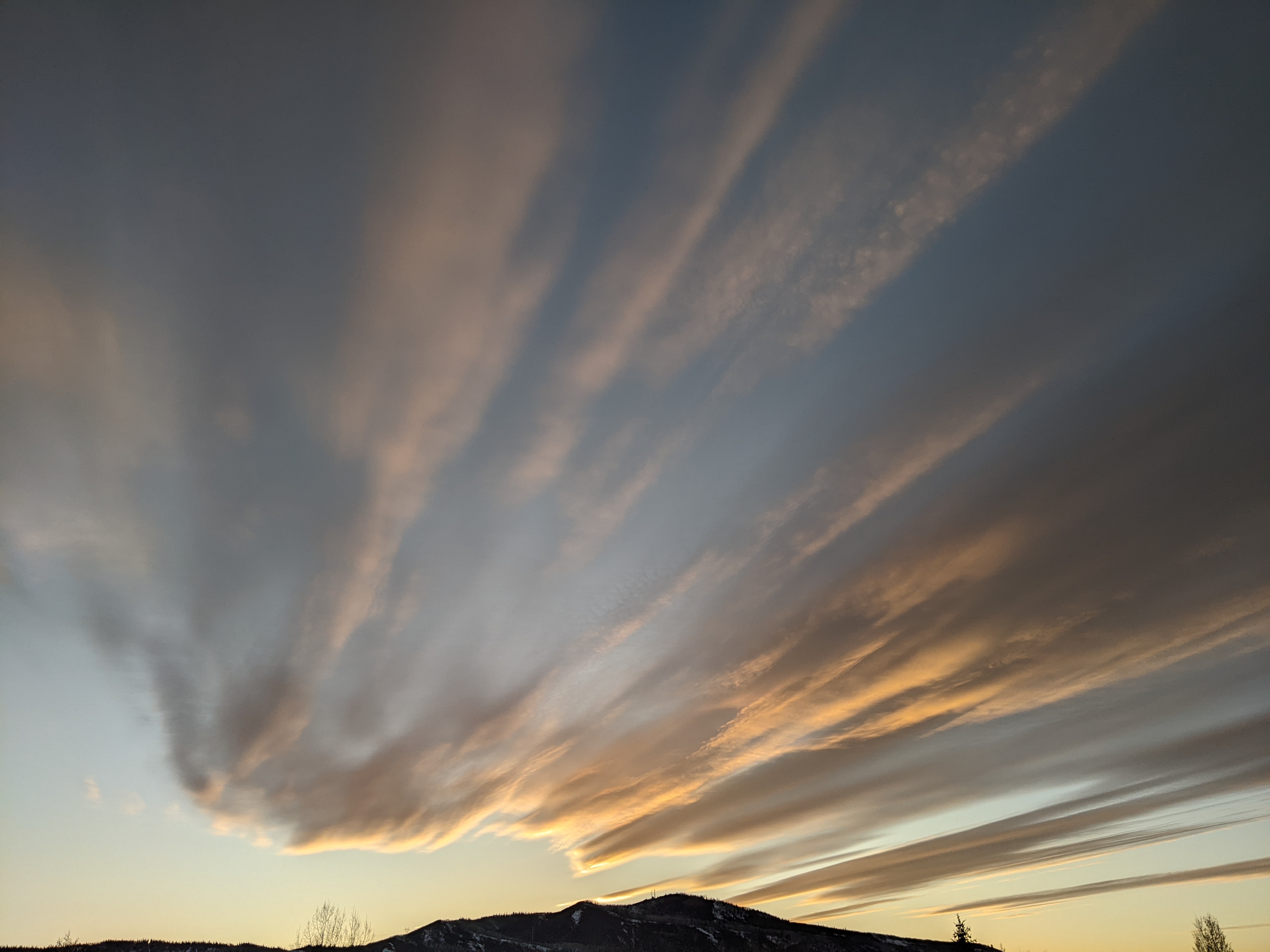
The sun is peeking out this Christmas Day at noon in Steamboat Springs after a morning of rain showers in town with temperatures in the low forties, and snow showers at the top of the Steamboat Ski Resort with temperatures near freezing. After record-high temperatures were set in town this past week, winter reappears for the weekend, with significant snowfall occurring on the hill and some in town. Expect much colder temperatures, reaching below zero by Monday morning at all elevations.
Before we get to snowfall guesses, high temperatures between Sunday and Wednesday afternoons in town shattered two records and tied two others since 1893. Sunday afternoon saw a high of 46 F, tied for the second warmest with 2020, 1980, and 1936, short of the 55 F record set in 1921.
Monday saw an incredible high temperature of 59 F, shattering the previous record of 47 F by twelve degrees, set in 1971.
Tuesday’s high temperature of 52 F was the second warmest for the date, shy of the 58 F record set in 1955.
The official observations for the Steamboat Springs weather station behind the high school have not been published yet for Wednesday, but the 50 F record set in 2016 was certainly broken.
Now that those obscene Christmas-time temperatures are behind us, we can look forward to winter’s return this weekend. The ridge of high pressure over the Rocky Mountains, which caused the record warmth this past week, has been forced eastward by energy ejected from a deep trough of low pressure just off the West Coast, itself downstream of a persistent ridge of high pressure near the Dateline.
The ejected energy carried copious subtropical moisture, leaving over two feet of snow in the high Sierras and bringing the showers this morning. A wave of cold air from Siberia has topped the Dateline ridge, with some dropping into the West Coast trough and some moving eastward, ingesting additional cold air from western Canada.
While some snowfall has been predicted by the weather forecast models all week, the amount of snow and cold air has been uncertain, as it depends upon the partitioning of the Siberian energy. The models have settled on an encouraging solution, having enough energy moving into the trough to keep it moving, and having enough energy moving across the Pacific Northwest to ingest additional cold air.
The result is that both the West Coast trough and the Pacific Northwest wave will move into the Great Basin on Saturday, creating an overrunning event where warm and moist air in southwest flow moves over the top of cold air.
The initial cold front should move through our area Saturday morning, and depending on its arrival, could leave 1-4” of snow for the mid-mountain report. Snowfall should continue as cold air continues to filter into the region, leaving another 4-8” at mid-mountain by sunset. Temperatures will be falling most of the day, reaching around freezing in town by sunset and upper teens at the top of the resort.
Cold air will continue to move into our area through Sunday morning, under favorable moist and unstable northwest flow, keeping snow showers going until noon. Another 2-5” of snow overnight Saturday could yield a 6-13” Sunday morning mid-mountain report, with an additional 1-4” possible by around noon as the storm ends.
High temperatures will fall into the low twenties in town, finally below our average of 28 F, and the single digits at the top of the resort on Sunday. If skies clear Sunday night, we could see subzero temperatures at all elevations by Monday morning, below our average of 4 F in town.
A ridge of high pressure is then forecast to build over the West next week, providing a nice end to 2025, but more precipitation is forecast for around the start of the New Year. Enjoy our late-arriving Christmas present this weekend, and I’ll have more details on the end-of-week storm in my next regularly scheduled weather narrative on a cold Sunday afternoon.
Add comment
Fill out the form below to add your own comments


