Warm and dry weather to persist through the weekend
Thursday, December 11, 2025
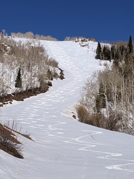
Temperatures are already near forty degrees this Thursday at noon in Steamboat Springs, on their way to the mid-forties, with mostly sunny skies. This beautiful weather will persist through the weekend, with no hope for cooler and wetter weather until next midweek at the earliest.
A deep trough of low pressure located just downstream of a persistent ridge of high pressure near the Dateline has directed a channel of tropical and subtropical moisture, known as an atmospheric river, northeastward. It has traveled around the periphery of a broad ridge of high pressure over most of the West, bringing heavy precipitation to the Pacific Northwest, but keeping our area warm and dry.
Also anchoring this atmospheric pattern is a persistent trough of low pressure over the eastern half of North America, which is forecast to be reinforced by cold air sliding southeastward from the Yukon and Northwest Territories near the Arctic Circle along the east side of the strengthening ridge of high pressure over the West.
The building ridge of high pressure over the West will keep warm temperatures and mostly sunny skies around through the weekend at least, with high temperatures in town in the mid-forties, around fifteen degrees above our average of thirty degrees. The dry air will allow nighttime lows to fall into the teens, still about ten degrees above our average of six degrees. Daily high temperature records appear safe as they are in the fifties for the coming week.
There may be some hope for precipitation around midweek, though it would likely be a warm event. There is also hope for a more substantial pattern change around the following week, though that keeps getting pushed to the end of the sixteen-day forecast. Enjoy a beautiful and warm weekend, and I’ll have an update on storm chances in my next regularly scheduled weather narrative on Sunday afternoon.


