Beautiful weekend ahead, with warm temperatures by Sunday
Thursday, October 30, 2025
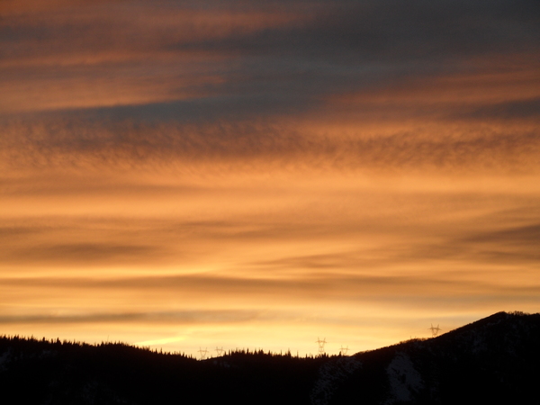
After reaching almost fifty-five degrees this afternoon, temperatures have dropped into the mid-forties this early evening in Steamboat Springs as the sun sets. A wave of cold air moving to our northeast will bring some clouds by tonight and a few degrees of cooling on Friday, despite skies turning mostly sunny after noon, leaving fine weather for a Halloween stroll. High temperatures rebound a few degrees on Saturday before warming to the low sixties starting Sunday and lasting through midweek.
A wave of cold air is sliding southeastward toward the Midwest on the backside of a ridge of high pressure extending northward from the Pacific Northwest. The wave will clip our area starting tonight, bringing some cloudiness that will last through Friday morning, and cooler air that will lower high temperatures a few degrees below our average of fifty-one degrees.
A trailing wave may start Saturday with some clouds, but mostly sunny skies by the afternoon will allow high temperatures to rise back to the low fifties.
Meanwhile, a strong storm rotating through the Gulf of Alaska will push the Pacific Northwest ridge of high pressure eastward and over our area by Sunday, even as the ridge weakens and shifts south due to energy ejecting from the Gulf of Alaska storm. Winds will shift to be from the northwest to the warmer west, allowing high temperatures to rise into the low sixties on Sunday and producing a stunning fall day.
The gorgeous weather is forecast to persist to start the workweek, and may last through midweek before we see the first chances for precipitation near the end of the workweek. Be sure to take advantage of the gorgeous fall weather, enjoy your Halloween, including Friday’s annual Halloween Stroll, and check back for more details on a possible incoming storm in my next regularly scheduled weather narrative on Sunday afternoon.


