Cold temperatures with a bit of snow to start the workweek
Sunday, October 26, 2025
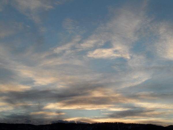
Temperatures in the upper fifties and mostly cloudy skies are over Steamboat Springs early this Sunday afternoon, though some blue skies are visible to the west. An approaching storm from the Pacific Northwest will bring breezy winds and cold air starting tonight, along with a modicum of moisture on Monday, and even colder air on a dry Tuesday. The rest of the workweek will feature moderately warmer temperatures and dry weather.
Colorado is officially open for skiing, as Keystone became the first North American ski area to open Saturday afternoon, followed by Arapahoe Basin this morning. On cue, an approaching storm system from the Pacific Northwest will bring several cold fronts through our area starting tonight, accompanied by breezy winds and limited moisture as the leading edge of the storm is deflected to our northeast by a ridge of high pressure extending northward from the Great Lakes.
While snowflakes may start tonight at higher elevations, accumulations of up to several inches are possible by Monday evening above 9,000′ as another surge of cold air moves through our area during the afternoon. And those snowflakes may also appear in town on Monday as high temperatures only reach the mid-forties, below our average of fifty-three degrees, though any accumulations at low elevations are unlikely.
Another surge of cold air arrives Monday night, though this last one will bring much drier air overhead. Low temperatures should fall to the teens on Tuesday morning, perhaps as cold as ten degrees below our average of twenty-two degrees, likely allowing for the start of snowmaking operations near the base of the Steamboat Ski Area. Tuesday should be a mostly sunny but cold day, with high temperatures struggling to break out of the thirties.
Clear skies and light winds on Tuesday night mean another cold start to Wednesday with low temperatures in the low teens, and another productive night of snowmaking, perhaps the last for a while. A ridge of high pressure is then forecast to build overhead starting on Wednesday as the remaining part of the storm moves into the Great Plains, undercutting the ridge of high pressure that was over the Great Lakes.
Expect another day of mostly sunny skies on Wednesday, with high temperatures rebounding to approach fifty degrees. A storm developing in the Gulf of Alaska on Tuesday is forecast to move over the top of the ridge of high pressure on Thursday, grazing our area with some clouds, but still allowing high temperatures to rise into the low-fifties.
Another storm forecast to develop in the Gulf of Alaska near the end of the workweek may strengthen the jet stream moving across the northern Rockies by the weekend. Though the jet is forecast to remain north of our area, allowing the dry weather to continue, there may be enough moisture moving inland for at least some of next weekend to be cloudy.
Enjoy the change in weather to start the workweek, and I’ll have more details about what to expect for Friday’s annual Halloween Stroll and the weekend in my next regularly scheduled weather narrative on Thursday afternoon.
Add comment
Fill out the form below to add your own comments


