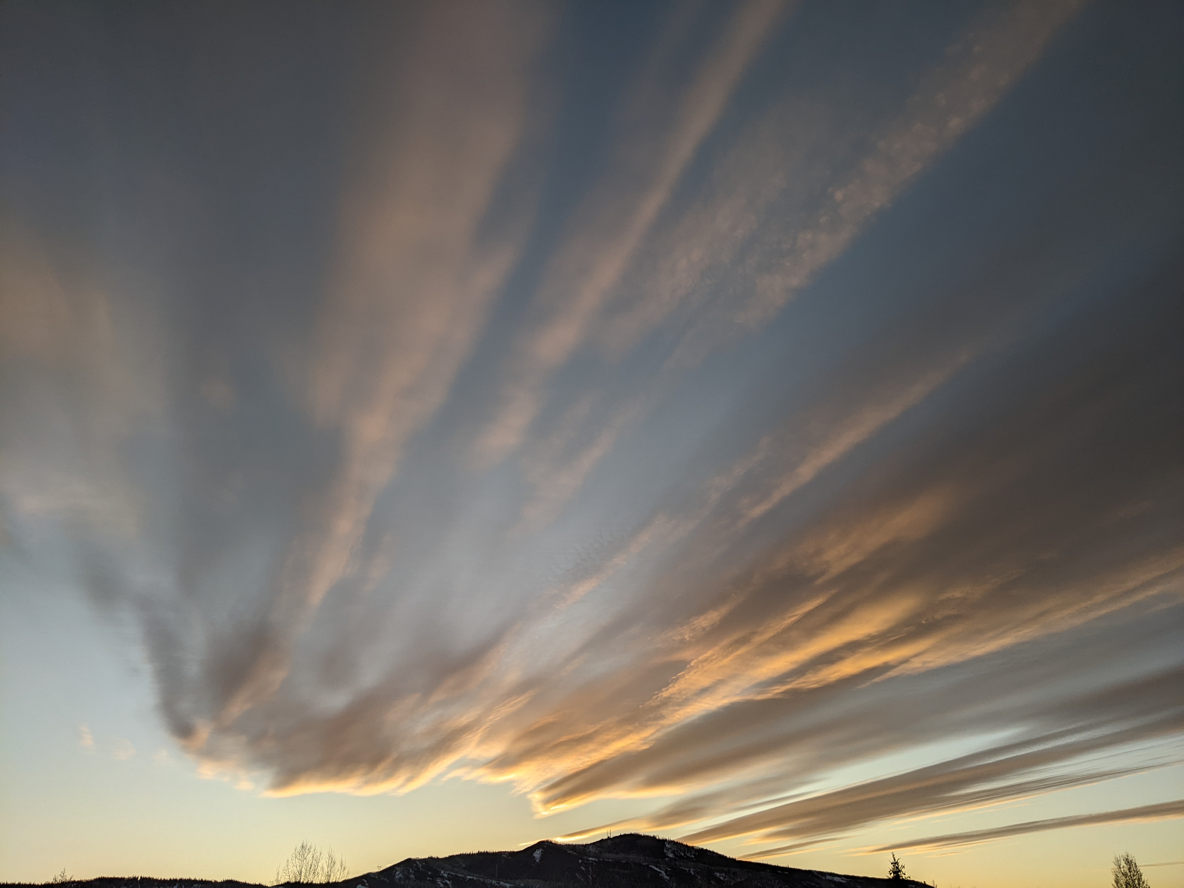
Showers to continue ahead and behind a Friday night cold front
Thursday, September 11, 2025
After a brief shower just after noon on this Thursday in Steamboat Springs, temperatures have cooled from the mid-seventies to the low seventies by mid-afternoon. The first cold front of our season will pass through Friday night, with showers continuing through Saturday ahead and behind the front. High temperatures will cool from the low-seventies on Friday to only the high sixties for the weekend. Sunday may be nice, or not, depending on the speed of the storm as it passes over the Rocky Mountains.
A large storm is lumbering through the West while the high pressure that was overhead this past week has been pushed to the central U.S. A robust plume of monsoonal moisture has been drawn overhead by southwest winds ahead of the storm and behind the high pressure, leading to the showery weather so far today as waves of energy eject from the storm.
More of the same is forecast for the rest of today, tonight, and Friday as the storm approaches, with strong thunderstorms possible. A cold front is then forecast on Friday night as the leading part of the storm rotates through our area. The ridge of high pressure will deflect the storm northward, even as additional energy behind the storm brings more showers, perhaps not starting until the afternoon, on a much cooler fall-like Saturday.
High temperatures will only reach the mid-to-upper sixties, below our average of seventy-four degrees, with showers continuing Saturday night. Snow levels decrease from 12,000′ Saturday morning to 11,000′ by Sunday morning, perhaps leaving a dusting of snow on the high peaks around us, but more likely on the higher mountains of central and southern Colorado, with even a few inches possible there.
We may see a nice Sunday if the storm continues moving through our area, but some weather forecast models have the storm lingering as high pressure to our east maintains its strength. Enjoy what will be our first fall-like weekend of the season, and take advantage of the windows of opportunity to get outside between the showers. I’ll have details on what looks like a nice start to the workweek, and possibly a midweek storm, in my next regularly scheduled weather narrative on Sunday afternoon.
Add comment
Fill out the form below to add your own comments


