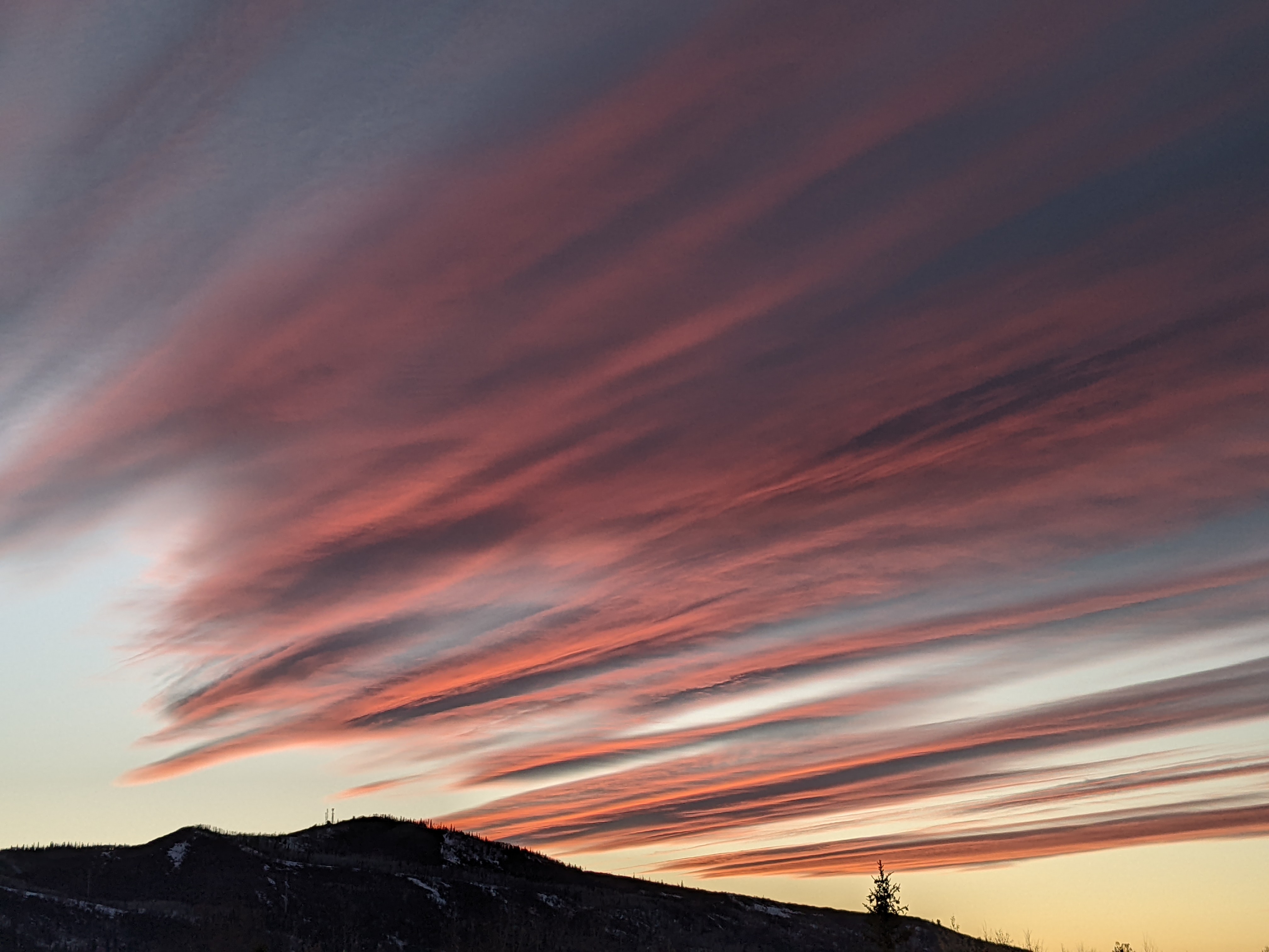
After record heat, temperatures to cool with shower chances for the weekend
Thursday, August 21, 2025
After a fourth straight day with temperatures in the nineties, clouds have appeared this Thursday mid-afternoon in Steamboat Springs as a monsoonal push of moisture begins. Temperatures are forecast to fall into the mid-eighties on Friday and the weekend, with shower chances best on Friday. But significant precipitation becomes very likely next week as temperatures fall into the seventies.
Record high temperatures were set in town this week; while the ninety degree high on Monday was the second warmest behind the 94 F in 2020, Tuesday’s high of 93 F broke the 91 F record set in 2020, Wednesday’s high of 94 F shattered the 90 F record set in 2023, and today’s record of 91 F, also set in 2023, is in jeapordy. The three-day 92.3 F average high temperature for Monday through Wednesday was the 16th warmest three-day stretch since 1893, with the hottest being a blistering 97 F for the three days ending on August 8th and 10th in 2001. August 2001 was an all-time scorcher, holding eight of the twelve hottest three-day stretches and the top four spots.
Fortunately, the lack of wind with these record temperatures kept the growth of the surrounding wildfires in check, allowing containment of the Lee Fire to increase from 42% Sunday to 73% today, and the Crosho fire to increase from 5% Sunday to 24% today.
A storm traveling from the Canadian Plains toward the Great Lakes has flattened a ridge of high pressure over the West, with clockwise flow around the high carrying monsoonal moisture first northward into Nevada, then northeastward into Utah, and eventually eastward into Colorado. A couple of waves rotating around the Canadian storm will increase shower chances Friday afternoon and evening, with high temperatures cooling into the mid-eighties, still above our average of eighty degrees.
Similar temperatures are forecast for Saturday and Sunday, with decreased shower chances on Saturday being followed by increasing shower chances later Sunday. A wave ejecting from a storm in the Gulf of Alaska is forecast to slide southward off the West Coast early in the weekend before moving eastward, nudging the high pressure eastward and substantially increasing the flow of monsoonal moisture northward.
Significant precipitation is expected for the next workweek, with rainfall rates uncertain and likely to depend on cloud cover, potentially ranging from one to two inches. Morning cloudiness will inhibit thunderstorm strength and lead to a steadier rain over a longer time, while less cloudiness will allow the lower atmosphere to heat and contribute to stronger thunderstorms, similar to the cloudburst from last Friday.
Enjoy the summer weekend ahead, and I’ll have more details on this encouraging monsoonal push in my next regularly scheduled weather narrative on Sunday afternoon.


