Rain chances to persist through Saturday
Thursday, August 14, 2025
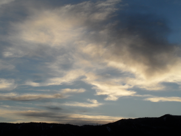
After high temperatures in the upper eighties with mostly sunny skies early this Thursday afternoon in Steamboat Springs, a monsoonal plume of moisture has brought cloudy skies, cooler temperatures, and increasingly gusty winds from nearby thunderstorms by mid-afternoon. Rain will have a tough time reaching the ground today due to the very dry lower atmosphere, with better chances on Friday and Saturday as high temperatures cool, reaching only the low-eighties for the weekend. A pleasant Sunday will be followed by dry weather and rising temperatures to start the workweek.
Some energy previously left behind off the California coast by a storm now crossing the central Canadian Plains is being forced eastward over the West Coast by a new storm moving through the Gulf of Alaska. The energy will be deflected northeastward as it crosses the Great Basin by a strong ridge of high pressure centered over the Lower Mississippi Valley, with monsoonal moisture carried northward by the southwesterly winds east of the low pressure and the southerly winds west of the high pressure.
High temperatures will cool several degrees into the mid-eighties on Friday, still above our average of eighty-two degrees, with a better chance of rain from thunderstorms reaching the ground as the incoming California wave interacts with energy and moisture moving up from the south.
The upper-level energy may keep storm chances going through the evening, and according to the latest short-range weather forecast model, possibly on Saturday morning as well. High temperatures will cool to average, with continued storm chances through Saturday, until the monsoonal moisture plume is bent eastward by the passing California wave, bringing drier air overhead with continued comfortable temperatures on a mostly sunny Sunday.
The likely limited moisture, gusty winds, and lightning are not good news for the Lee Fire near Meeker, now over 127,000 acres and only 3% contained, and the newer Crossho Fire near Yampa, at 1,700 acres with no containment, though the cooler daytime temperatures and increased humidity might help.
Hope for rain, enjoy the cooler weekend temperatures, and I’ll have details on what is looking like another hot and dry workweek in my next regularly scheduled weather narrative on Sunday afternoon. And before finalizing your outdoor plans, be sure to check the NOAA Smoke model forecast, run four times a day, for the latest smoke plume trajectories.
Add comment
Fill out the form below to add your own comments


