Hot and dry weather to be interrupted by a cool front on Tuesday
Sunday, June 15, 2025
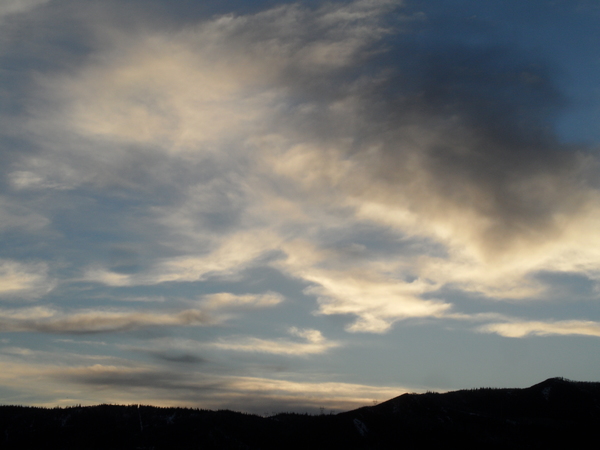
After an eighty-five-degree high temperature yesterday at the Bob Adams airport in Steamboat Springs, temperatures are just shy of that this Sunday mid-afternoon under mostly sunny skies. After another hot and dry day on Monday, a cool front on Tuesday will bring cooler temperatures that will last through Wednesday, before even hotter weather follows for Thursday.
A persistent storm in the Gulf of Alaska anchors an area of low pressure extending southwestward toward the tropics while a ridge of high pressure sits over the Continental United States. The dry air and hot temperatures have been carried overhead by southwesterly winds ahead of the Gulf of Alaska storm and that will continue on Monday.
A piece of energy ejecting from the Gulf of Alaska storm will cross the West Coast on Monday, bringing a cool front to our area on Tuesday after traveling across the Great Basin. High temperatures will fall to around our seventy-seven-degree average, and the limited moisture associated with the front may allow for some clouds and even an afternoon or evening thunderstorm that would produce more wind than rain, as most precipitation evaporates in the dry lower atmosphere before reaching the ground.
A ridge of high pressure is then forecast to build behind the front starting Wednesday, for a mostly sunny day with continued comfortable high temperatures reaching the low-eighties.
By Thursday, the Gulf of Alaska storm is forecast to finally move toward the Pacific Northwest coast, building the ridge of high pressure and allowing high temperatures to soar toward our first ninety-degree day of the season under mostly sunny skies in the southwesterly breezes ahead of the storm.
This pattern continues into the weekend when the storm is forecast to cross the Pacific Northwest coast. Winds will increase substantially on Friday and Saturday as the storm approaches, increasing fire weather concerns over the West. With that in mind, I have again started posting the NOAA Smoke Plume Forecast, which is run four times a day out to 48 hours. This model shows that the occasional hazy skies over the last few days were from the France Canyon wildfire burning in southwestern Utah.
Enjoy the respite from the hot weather on Tuesday and Wednesday, and check back to my next regularly scheduled weather narrative on Thursday afternoon for an update to that ninety-degree weekend forecast.
Add comment
Fill out the form below to add your own comments


