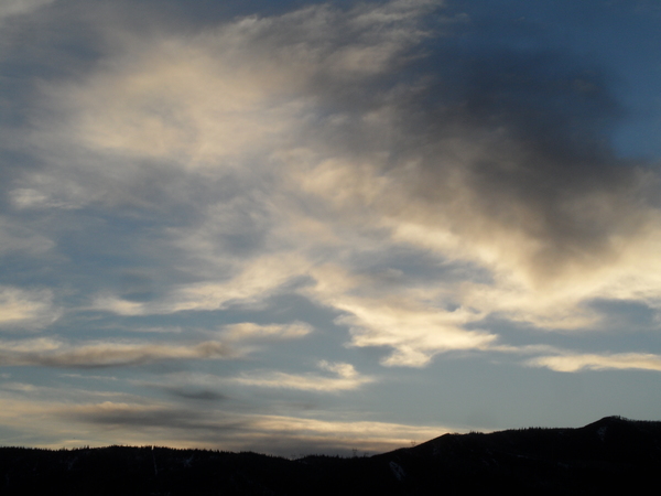
Pattern shift to bring hot and dry weather for the weekend
Thursday, June 12, 2025
Temperatures reached eighty degrees this Thursday in Steamboat Springs under mostly sunny skies before a thunderstorm with pea-sized hail dropped temperatures into the low-sixties by early this afternoon, including a ten-degree drop in ten minutes. But the thunderstorms will disappear Friday and the weekend as temperatures soar into the upper-eighties by Sunday.
Ejecting energy from a persistent area of low pressure over the Gulf of Alaska has brought some Pacific moisture overhead these past few days. The low-pressure area is forecast to wobble around for the next week as pieces of Pacific energy and moisture crossing the Dateline are both absorbed, reinvigorating the storm, and slingshot around its southern end.
As one part of the storm briefly elongates along the West Coast through the weekend, winds turn southwesterly over the West, building a ridge of high pressure over the Rocky Mountains and bringing hot and dry air from the Desert Southwest overhead. Though we may see some more thunderstorms this afternoon and evening, dry weather is forecast for the weekend with temperatures reaching the mid-eighties on Friday and warming into the upper-eighties by Sunday, well above our average of 76 F.
The dry air and clear skies will allow nighttime temperatures to fall into the forties, a bit warmer than our average of almost forty degrees due to the hot air mass.
This weather pattern will continue into the coming workweek, with temperatures possibly reaching ninety degrees on Monday. Some of the Gulf of Alaska storm is forecast to move inland by Tuesday or Wednesday, eventually grazing our area with a cool front that will drop high temperatures into the low-eighties.
So enjoy the summery weekend - we are after all only a week away from the summer solstice next Friday, June 20th at 8:41 pm - and I’ll have more details on next week’s cool front in my next regularly scheduled weather narrative on Sunday afternoon.
Add comment
Fill out the form below to add your own comments


