Strong cold front on the doorstep

Sunday, May 18, 2025
After sunny morning skies, temperatures peaked near sixty degrees at noon this Sunday in Steamboat Springs. The spotty showers with more wind than rain so far this afternoon will be replaced with steadier precipitation this evening as the cold front passes. Much colder temperatures on Monday with significant high-elevation snow and possible snowflakes in town will be followed by warming and drying through the workweek, with seventy-degree temperatures returning by Thursday.
A cold storm in the Great Basin is on our doorstep and will bring a cold front through our area by early evening. Spotty showers ahead of the front are producing more wind than rain so far, as the precipitation evaporates in the dry air from the Desert Southwest that was carried over our area in the southwest winds ahead of the storm yesterday, but that should change later this afternoon as the cold front approaches.
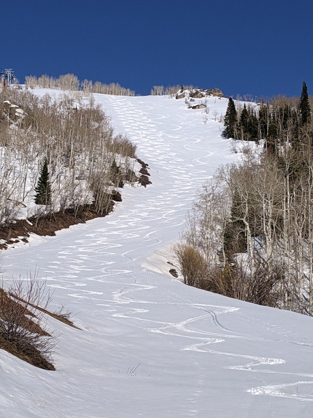
Snowfall rates as high as an inch per hour could make travel over Rabbit Ears Pass difficult at times tonight after the front passes in the early evening, with 3-6” of snow expected at and above 9000′ by sunrise, with lesser accumulations down to 8000′ and snowflakes in town. An additional 1-4” above 9000′ are possible through the day as winds transition to be from our favorable northwest direction, helped by a reinforcing surge of cool air during the day that will keep the temperature in town around fifty degrees, well below our average of 67 F.
A series of incoming Pacific storms to our north will be deflected by increasingly hot air in the Desert Southwest, keeping our area south of the storm track through the workweek, which is seasonably appropriate. Temperatures on Tuesday will warm into the upper-fifties with a chance of some stray showers in the moderately unstable post-frontal environment. But mostly sunny skies are forecast for the rest of the workweek with temperatures in the upper-sixties on Wednesday and mid-seventies for Thursday and Friday.
The gorgeous weather is forecast to continue into the Memorial Day weekend, with uncertainty for the end of the weekend around the track of a storm forecast to develop in the Gulf of Alaska. So be prepared for another dose of short-lived wintry weather tonight and Monday, enjoy an increasingly nice workweek, and check back for more details on the holiday weekend weather in my next regularly scheduled weather narrative on Thursday afternoon.


