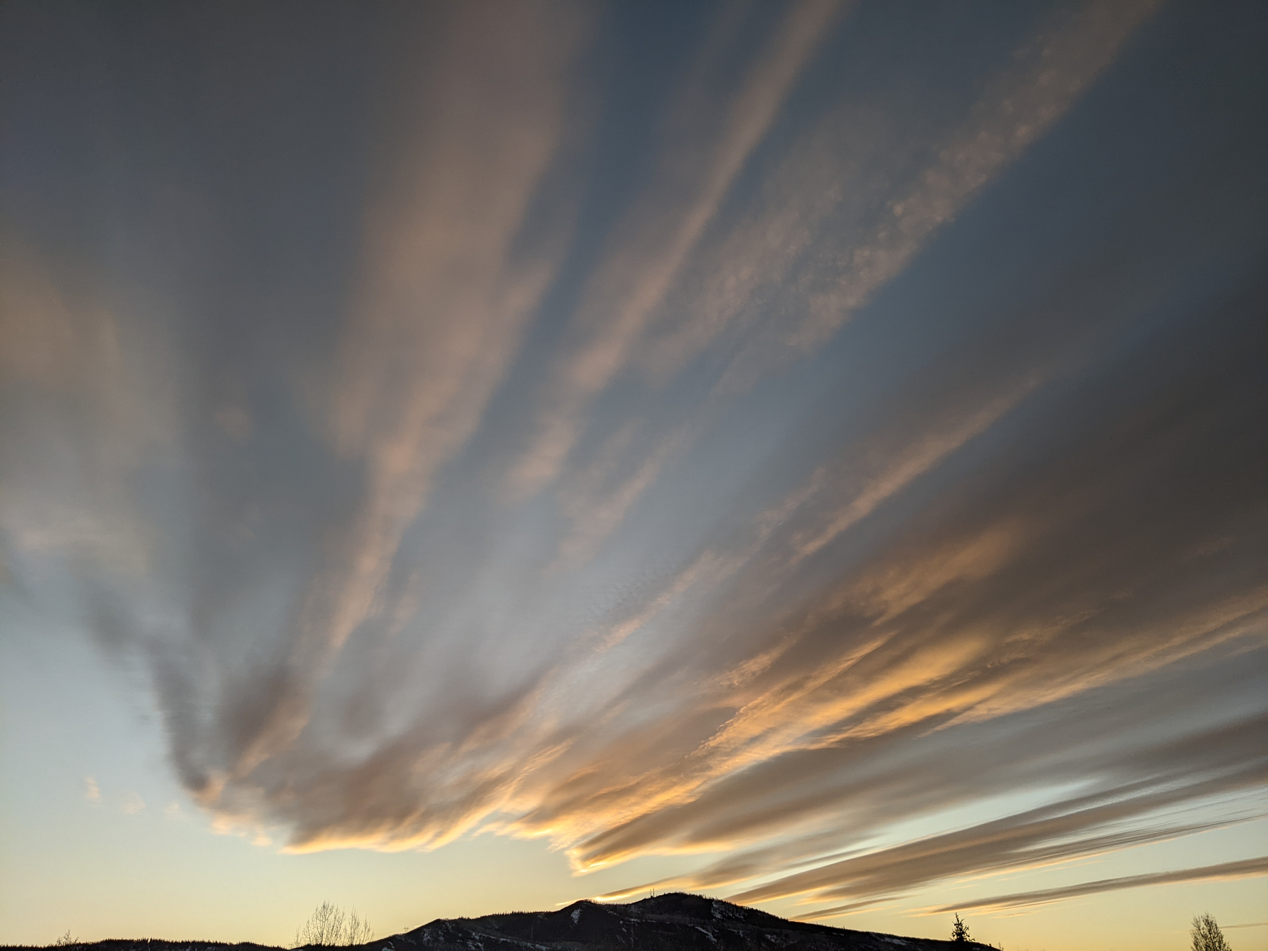
Unsettled weather to return tonight and persist through the workweek

Sunday, April 27, 2025
Sunny morning skies have yielded to clouds this Sunday mid-afternoon in Steamboat Springs ahead of an advancing storm that will start a workweek of unsettled weather. High temperatures now in the mid-sixties will tumble into the low-fifties on Monday, accompanied by a chance for precipitation, with some morning snowflakes possible in town. Warmer temperatures are forecast for the rest of the workweek despite another possible storm on Wednesday.
Our beautiful spring weekend is ending as a storm in the Great Basin approaches the area. The storm is the southern end of a wave that formed an eddy as it traveled across California earlier in the weekend, and will bring a cold front through our area tonight. Precipitation will be light, with perhaps as much as an inch or two of snowfall on the hill and some snowflakes in town Monday morning. Chances for showers persist Monday afternoon as another cold front associated with the northern end of the wave grazes our area, keeping high temperatures in the low-fifties, below our average of 59 F.
The eddy is forecast to dissipate as pieces of the storm head both southeast and northeast, bringing a mostly sunny Tuesday morning and a small chance for some afternoon showers as temperatures warm back to average.
Meanwhile, another storm from the Aleutian Islands is forecast to cross the Vancouver coast on Tuesday and Idaho early Wednesday, dragging a cold front through our area Wednesday afternoon. The arrival later in the day will spare the town snow, but there are good chances for precipitation through Thursday morning, with snowfall of 2-5” possible at and above 9000′.
Showers may linger during the afternoon, but should clear overnight, leading to a mostly sunny start to a warmer Friday with high temperatures reaching the mid-sixties. There is uncertainty regarding showers later in the day, depending on the proximity of a small eddy over the Great Basin formed from the southern end of the midweek storm.
That eddy and the uncertain evolution of another storm near the Dateline will determine our weather for next weekend, and I’ll have more details about that in my next regularly scheduled weather narrative on Thursday afternoon. In the meantime, let’s hope we can accumulate some more late-season snowpack this week (and possibly next week - stay tuned!), as the Yampa-White-Little Snake river basin is only 71% of average after reaching 96% of average on April 7.
Add comment
Fill out the form below to add your own comments


