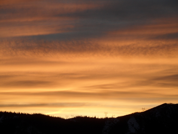
Beautiful spring weekend ahead

Thursday, April 24, 2025
After a mostly sunny morning in Steamboat Springs, temperatures this Thursday mid-afternoon are around sixty degrees with a few rumbles of thunder and sprinkles of rain. Friday will be several degrees warmer and drier before mostly sunny skies and temperatures approaching seventy degrees grace the last weekend of April.
Today will be the final day the stationary front just to our north will influence our weather this workweek. Some energy moving across the northern Rockies and over the front encouraged today’s showers, but southwest winds ahead of a splitting storm extending south from the Gulf of Alaska will bring dry air from the Desert Southwest toward our area starting Friday. Though some clouds may be around during the day, warmer air from the south should allow temperatures to rise into the mid-sixties.
Meanwhile, the southern end of the splitting storm will form an eddy off the coast of northern California on Friday. The eddy is forecast to rotate across central California early Saturday before moving across Nevada and approaching Utah by Sunday. Breezes will increase ahead of the storm on Saturday and more so on Sunday as temperatures reach the upper-sixties under mostly sunny skies Saturday and most of Sunday.
Enjoy the beautiful spring weekend as the approaching eddy is forecast to split and elongate to the southwest on Monday, bringing increasing clouds by Sunday afternoon and a cold front with possible precipitation as soon as Sunday night. There is some uncertainty regarding precipitation due to the splitting storm and how much energy is partitioned into the northern and southern streams, with a cooler Monday accompanied by possibly unsettled weather according to the American GFS, but not the European ECMWF. High temperatures will drop about fifteen degrees from Sunday into the low-fifties and below our average of 59 F.
Temperatures look to rebound toward average on Tuesday, with high uncertainty regarding a wave of energy and moisture currently moving across the Aleutian Islands that may bring more unsettled weather by midweek. I’ll have more details about that in my next regularly scheduled weather narrative on Sunday afternoon.


