Cold front today to be followed by nice weather to start the workweek

Sunday, April 13, 2025
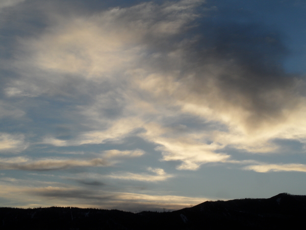
Temperatures are near fifty degrees in Steamboat Springs and freezing at the top of the Steamboat Ski Resort under cloudy skies late this Sunday morning. A cold front passing through will bring chances for some low-elevation rain showers and high-elevation snow showers today, and perhaps some periods of afternoon sun. The weather improves for the start of the workweek before a brief period of unsettled weather appears midweek, followed by a large storm to our west that may affect our area for the end of the workweek and next weekend.
A grazing storm to our north has dragged a cold front through north-central Colorado this morning, and there may be some passing low-elevation rain showers and high-elevation snow showers today, and perhaps some periods of afternoon sun. After high temperatures around seventy degrees the last couple of days, today’s high temperature will only be around our average of 54 F.
As the front clears our area tonight, Monday will see mostly sunny skies and high temperatures warming a few degrees as a ridge of high pressure moves over the northern Rockies. Meanwhile, a chaotic cluster of low pressure eddies have formed off the coast of southern California as energy broke away and moved southward from a strong storm over the Gulf of Alaska that brought over 100” of powder to Alyeska Resort this past week.
The Gulf of Alaska storm is forecast to move eastward and split as it mixes with cold air from western Canada, even as another storm takes its place. The splitting storm will force at least one southern California eddy to move northeastward through the Desert Southwest as it approaches our area on Wednesday, leading to increased clouds later Tuesday and early Wednesday. Temperatures will warm into the sixties as winds shift to be from the southwest ahead of the eddy, with precipitation dependent upon the track of the eddy and likely staying to our south.
The southern part of the splitting storm is forecast to move south of Vancouver early in the workweek, nudging at least a piece of another eddy off southern California toward our area Wednesday night. This will increase clouds and bring a chance of passing showers heading into Thursday.
Uncertainty is high for the end of the workweek and next weekend regarding the splitting storm as it moves through Idaho on Thursday. Right now, most of the storm looks to drop into the Desert Southwest by the end of the workweek, and we may see showers as the rest of the California eddy is forced to the northeast. We may also see some weather from the northern part of the split as it moves through the northern Rockies, as well as the main part of the southern split as it eventually moves east later in the weekend.
So enjoy the pleasant start to the workweek, hope for some peeks of sun for Steamboat Ski Resort’s end-of-season festivities today, and check back Thursday afternoon for more details on the evolving storm for Steamboat’s Closing Weekend in my next regularly scheduled weather narrative.


