Meager snow chances to start the week

Sunday, February 23, 2025
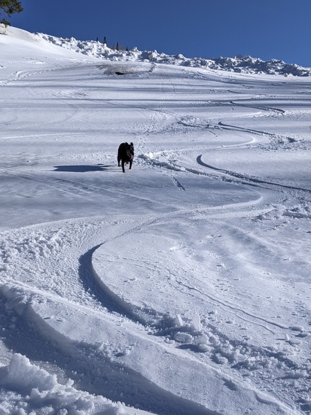
Brilliant blue skies are over Steamboat Springs this Sunday at noon with temperatures in the low-thirties in town and low-twenties at the top of the Steamboat Ski Resort. A weak wave on Monday and a mostly dry cold front later Tuesday will bring clouds and meager snow chances through Wednesday before our first case of Spring Fever washes over the West and closes out the month of February.
A ridge of high pressure over the West has been flattened by a series of Pacific storms carrying remnants of atmospheric rivers through the Pacific Northwest. One wave approaching Vancouver will bring clouds to our area starting tonight and perhaps some high-elevation snow showers leaving little accumulations through Monday as it travels through Montana.
Another colder wave, forecast to cross the Pacific Northwest on Monday, will take a more southern track and graze our area with a cold front Tuesday within several hours of noon. There may be a better chance to see some accumulations, though they will likely only be in the 1-4” range.
High temperatures ahead of the cold front are forecast to be around forty degrees through Tuesday, several degrees warmer than our average of 38 F, with low temperatures in the twenties, over ten degrees above our average of 11 F thanks to the insulating effects of any overnight clouds.
Snow showers may occur during the first half of Wednesday before skies clear later in the day, with daytime temperatures decreasing by around ten degrees. If skies stay clear overnight, expect a chilly Thursday morning with lows below average and in the single digits.
Mostly sunny skies and temperatures warming back into the forties are forecast for Thursday, with temperatures warming further into the weekend as a ridge of high pressure builds over the West ahead of an approaching Pacific storm. The dry skies and temperatures around fifty degrees will no doubt create our first episode of Spring Fever ahead of unsettled weather likely to return to our area soon after the weekend.
If it’s going to be cloudy, it might as well be snowing, so let’s hope these approaching waves pack more punch than forecast. Otherwise, enjoy the coming springlike weather to end the workweek, and check back to my next regularly scheduled weather narrative on Thursday afternoon for more details on how springlike the first weekend of meteorological spring could be.
Add comment
Fill out the form below to add your own comments


