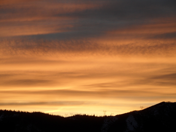
Cold air and snow to arrive tonight with the final wave of this storm cycle

Sunday, December 29, 2024
Even though sunny skies appeared for about an hour late this Sunday morning in Steamboat Springs, overcast skies have returned this mid-afternoon with temperatures in the upper thirties in town and upper twenties near the top of the Steamboat Ski Resort. The mild weather of the current storm cycle, which began Thursday, will be gone by Monday as the final storm in the series moves overhead tonight and brings more snow, gusty winds and much colder temperatures.
A cold storm that crossed the Gulf of Alaska on Saturday will grow colder today as it moves through the Pacific Northwest and mixes with additional cold air from western Canada. High temperatures in town will fall from about ten degrees above our average of 28 F today to average on Monday and near ten degrees below average on Tuesday as the cold front associated with the storm passes through tonight. Though there may be some light snow showers this evening, moderate to heavy snow showers should develop by around midnight and continue through sunrise, leaving 4-8” of snow at mid-mountain for the Monday morning report.
Unfortunately, winds with gusts as high as 60 mph along and behind the front will make travel difficult over Rabbit Ears Pass from midnight into Monday morning as the low-density snow will be easy to blow around.
Though most of the snowfall will be over Monday morning, afternoon and evening snow showers in favorable cold and moist northwest flow may leave another 2-5” on the hill which would be reported on a relatively cold Tuesday morning with temperatures in town falling to below the average of 4 F.
Mostly cloudy skies with some light snow showers may hang around on Tuesday before a reinforcing wave of cold air arrives on New Year’s Eve, bringing a frigid start to the first day of 2025 with low temperatures in the negative single digits, and perhaps negative teens in the favorable low-lying areas of the Yampa Valley.
Some sun and a warming atmosphere will help high temperatures in town rebound to near-average on New Year’s Day before another Pacific storm in northwest flow grazes our area starting Wednesday night. Snowfall amounts by Thursday morning currently look to be in the 3-6” range with additional snow showers possible during the day, though the strength of the wave is still uncertain so there may be more or less than that.
A brief ridge of high pressure is forecast to move across the West late in the workweek ahead of the next possible storm for around next weekend. So get out today and shovel what remains of the maritime snow before it freezes solid on Monday, enjoy the fresh snow tomorrow, and check back for my next regularly scheduled weather narrative on Thursday afternoon for more details on the possible weekend storm.
Add comment
Fill out the form below to add your own comments


