Pleasant days ahead of strong wintry storm to begin Sunday

Thursday, November 21, 2024
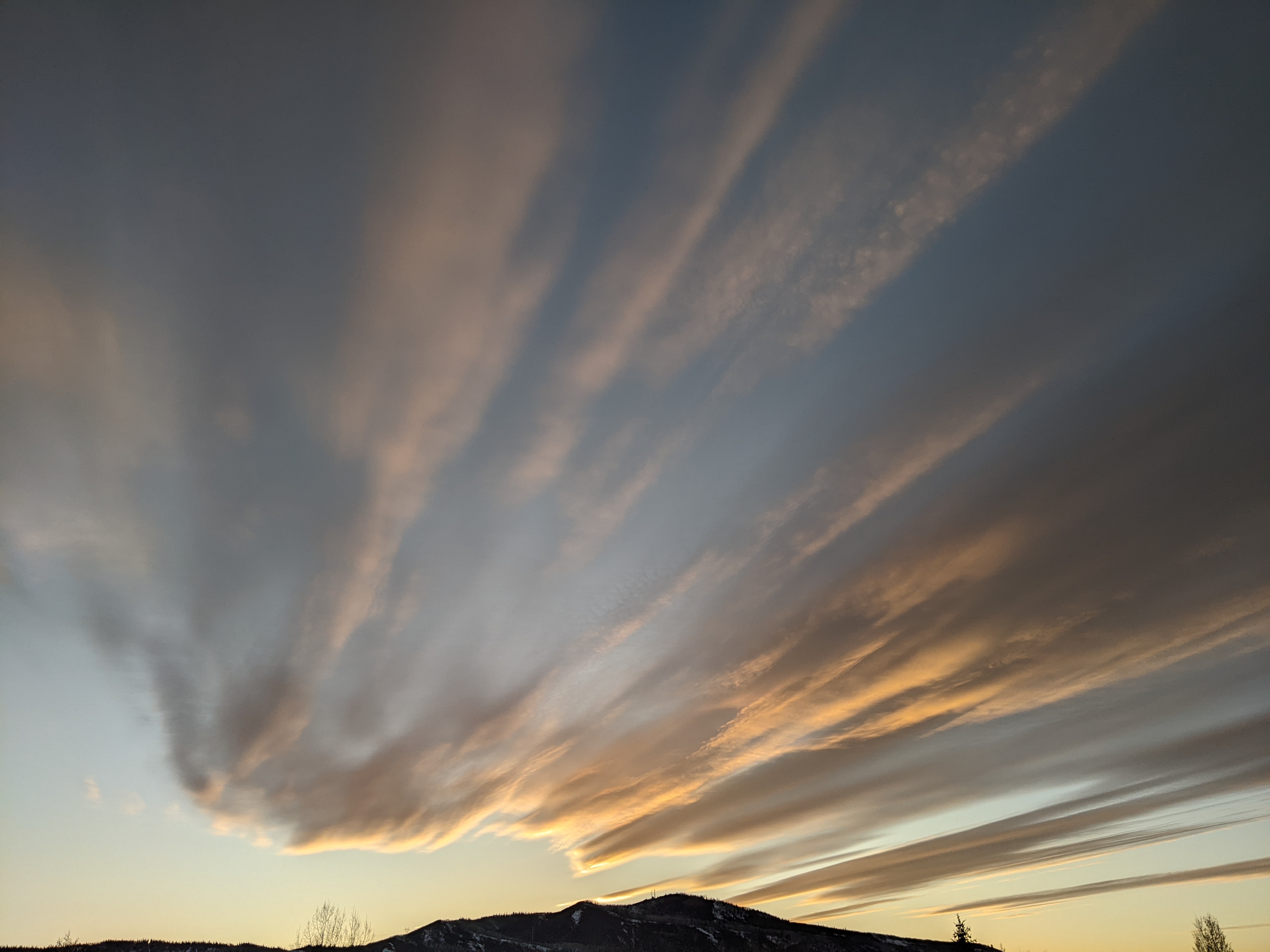
Temperatures are in the mid-forties late this Thursday afternoon after touching fifty degrees under sunny skies earlier. We’ll see another couple of warm and pleasant days on Friday and Saturday with mostly sunny skies on Friday giving way to increasing clouds on Saturday. These clouds are ahead of a strong wintry storm that will begin affecting our area on Sunday and likely last through the middle of Thanksgiving week with colder temperatures and significant snow accumulations.
A powerful wintry storm called a bomb cyclone in the Gulf of Alaska has pummeled the Pacific Northwest with high winds and heavy precipitation. The storm earned that moniker by the low pressure in the center of the storm decreasing by over 24 millibars in 24 hours; in fact the pressure dropped from 984 millibars Tuesday morning to a regional-record-tying 942 millibars in the evening for 42 millibars in about 12 hours!
Though it occurred in the Gulf of Alaska, the 942 millibar central pressure is equivalent to a Category 4 hurricane and was fueled by an atmospheric river, which is a long, relatively narrow, concentrated plume of water vapor that transports heat and moisture out of the tropics and toward the poles. Some may be familiar with the Pineapple Express, an atmospheric river originating from around Hawaii that sometimes brings heavy precipitation to Colorado.
Pieces of the storm are forecast to break away through the weekend and into next week and move inland, with the first relatively weak wave forecast for our area on Sunday. Ahead of that, a ridge of high pressure centered over the Rockies will keep the mostly sunny skies around for Friday, with high temperatures again approaching fifty degrees, about ten degrees above our average of 39 F.
Another similarly warm day is forecast for the Opening Day at the Steamboat Ski Resort on Saturday, though expect increasing clouds through the day as the first wave from the Pacific Northwest storm approaches. There is some uncertainty regarding the timing and path of this wave, but snow showers will likely start sometime Sunday, perhaps in the morning or later in the afternoon. There could be between four and eight inches of snow at and above mid-mountain and one to four inches in town by Monday morning.
A brief break in the weather might occur on Monday, but snows should intensify on Tuesday and Wednesday as the remains of the Pacific Northwest storm move near or over our area. Significant snow is likely, along with difficult travel over Rabbit Ears Pass at times. There is some uncertainty with the track and timing of the storm, including snow amounts, so check back to my next regularly scheduled weather narrative on Sunday afternoon for the latest details.
Add comment
Fill out the form below to add your own comments


