Storm to arrive Saturday afternoon

Thursday, September 19, 2024
A beautiful day is over the Steamboat Springs area this Thursday midafternoon with cloudless skies and temperatures in the low seventies, around our average of 73 F. The colors are starting to change, and so is our weather, with another beautiful day Friday followed by a cold front Saturday afternoon. We may see the season’s first snowfall near the top of the Steamboat Ski Resort by Sunday morning, just in time for the Autumnal Equinox, occurring first thing Sunday at 6:43 am.
A storm moving through Vancouver is forecast to nudge an eddy of low pressure off the central California coast eastward through the weekend, first moving across Las Vegas on Friday, the Four Corners on Saturday, and then northeast Colorado on Sunday as it is deflected to the northeast by a ridge of high pressure over Texas. This is slower than even the slowest weather forecast predicted in my last weather narrative, and the timing may still be too fast.
Right now, the Vancouver storm is forecast to drag a cold front through our area Saturday afternoon which will interact with the approaching eddy. Moisture will be drawn northward from the Gulf of Mexico ahead of the eddy and behind the Texas ridge, and eventually wrap over our area by later Saturday. We should start the day sunny, but increasing clouds with gusty easterly winds will interact with the cold front to start showers by the afternoon or evening.
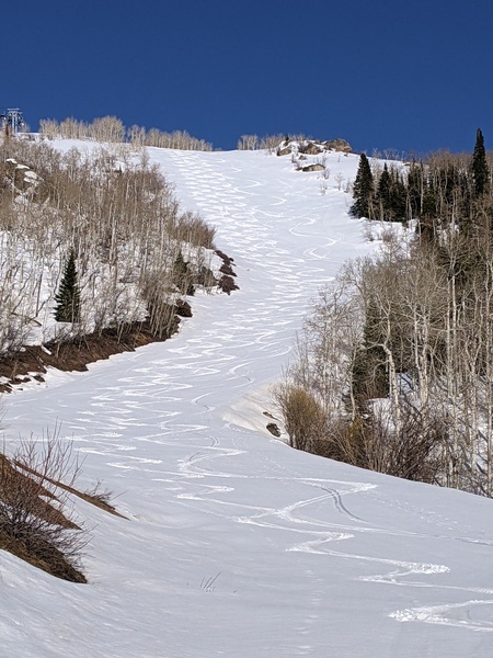
Precipitation should become moderate at times through the night, with snow levels dropping from above 12,000′ before the cold front Saturday morning to below 10,000′ by Sunday morning. We may wake up Sunday morning to the season’s first high-elevation snowfall, though it may be hard to see behind clouds that should clear behind the storm during Sunday. Be sure to check the Steamboat Powdercam on the SnowAlarm home page to see any evidence!
High temperatures will fall into the low sixties on Sunday, and there may be some sunshine along with possible afternoon showers in the unstable air mass, though some weather forecast models are drier than others.
Day length is changing quickly, and we are losing about seven minutes of daylight a week at the start of the day and twelve minutes at the end, so be sure to take advantage of a nice Friday and the first half of Saturday. Another storm is forecast to move through Vancouver late Sunday and possibly affect our weather during the start of the work week, and I’ll have more details about that in my next regularly scheduled weather narrative on Sunday afternoon.


