Two storms to affect our weather this week

Sunday, September 15, 2024
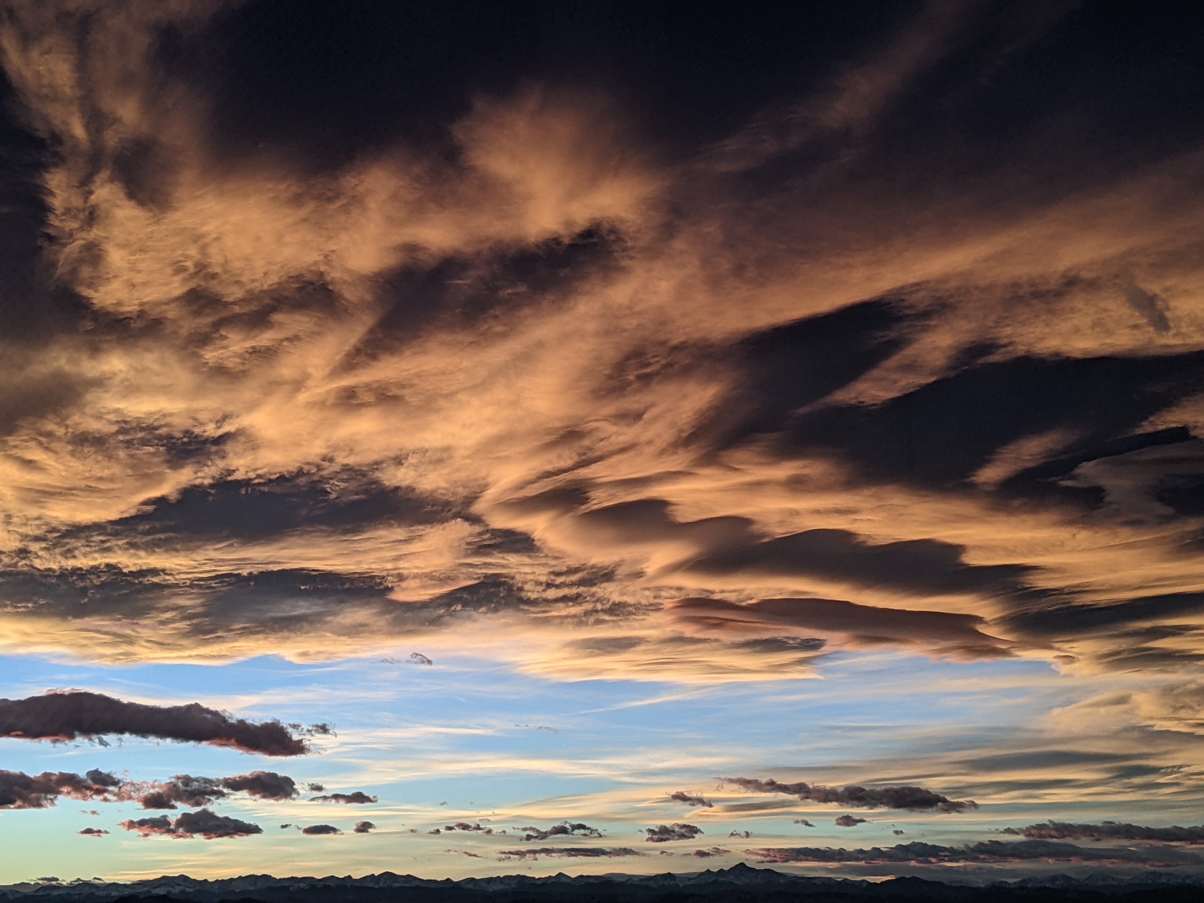
After a spectacular couple of sunny days, cloudy skies greeted Steamboat Springs this Sunday with temperatures reaching the low-seventies as of early afternoon. Though the skies look threatening, rainfall will have a hard time reaching the ground today, with a better chance on Monday and good chances on a cool Tuesday ahead of a cold front. High temperatures in the upper sixties will persist for Wednesday and Thursday ahead of another storm for the end of the workweek.
Remnants of Tropical Storm Ileana to our south and an approaching storm over the California and Oregon coasts to our west will dominate our weather through midweek. Moisture from Ileana has been carried over our area by winds from the southwest ahead of the West Coast storm. Another developing storm in the Gulf of Alaska will start forcing the West Coast storm eastward. It is forecast to wobble through the Great Basin on Monday and be deflected to our northeast on Tuesday before reaching Montana on Wednesday and the southern Canadian Plains on Thursday.
High temperatures should be in the low seventies on Monday after a mostly sunny start to the day, near our average of 74 F. Energy ejecting out ahead of the approaching storm will combine with the tropical moisture for afternoon and evening shower chances.
Those chances become likely Tuesday thanks to a lobe of energy rotating around the storm and moving overhead. High temperatures will fall to the mid-sixties, almost ten degrees below average on a breezy, showery day punctuated by a cold front moving through in the afternoon.
Moisture will be swept from our area behind the departing storm for a dry Wednesday and a few degrees of warming. Snow levels will fall to 10,000′ behind the front Tuesday night, and if moisture can hang on there may be some snowflakes at the top of the Steamboat Ski Resort. If skies clear by Wednesday morning, the Yampa Valley could see low temperatures just below freezing, about five degrees below our average of 35 F, especially in the low-lying areas.
Meanwhile, the next storm is forecast to have moved southward along the West Coast, and winds from the southwest ahead of the storm will allow high temperatures to rise toward seventy degrees on a dry Thursday.
There is agreement among the weather forecast model that the next storm will be colder and drier, but disagreement on how quickly the center moves eastward across the Desert Southwest. The American GFS has showers breaking out on Friday ahead of the storm, while the European ECMWF is a half-day behind. If we don’t see a dusting of snow on Mt. Werner on Wednesday morning, the first high-elevation snowfall of the season may be visible by Saturday morning.
Enjoy the last full week of the summer season as the Autumnal Equinox occurs next Sunday at 6:43 am, and check back to my next regularly scheduled weather narrative on Thursday afternoon for more details on the developing next storm.


