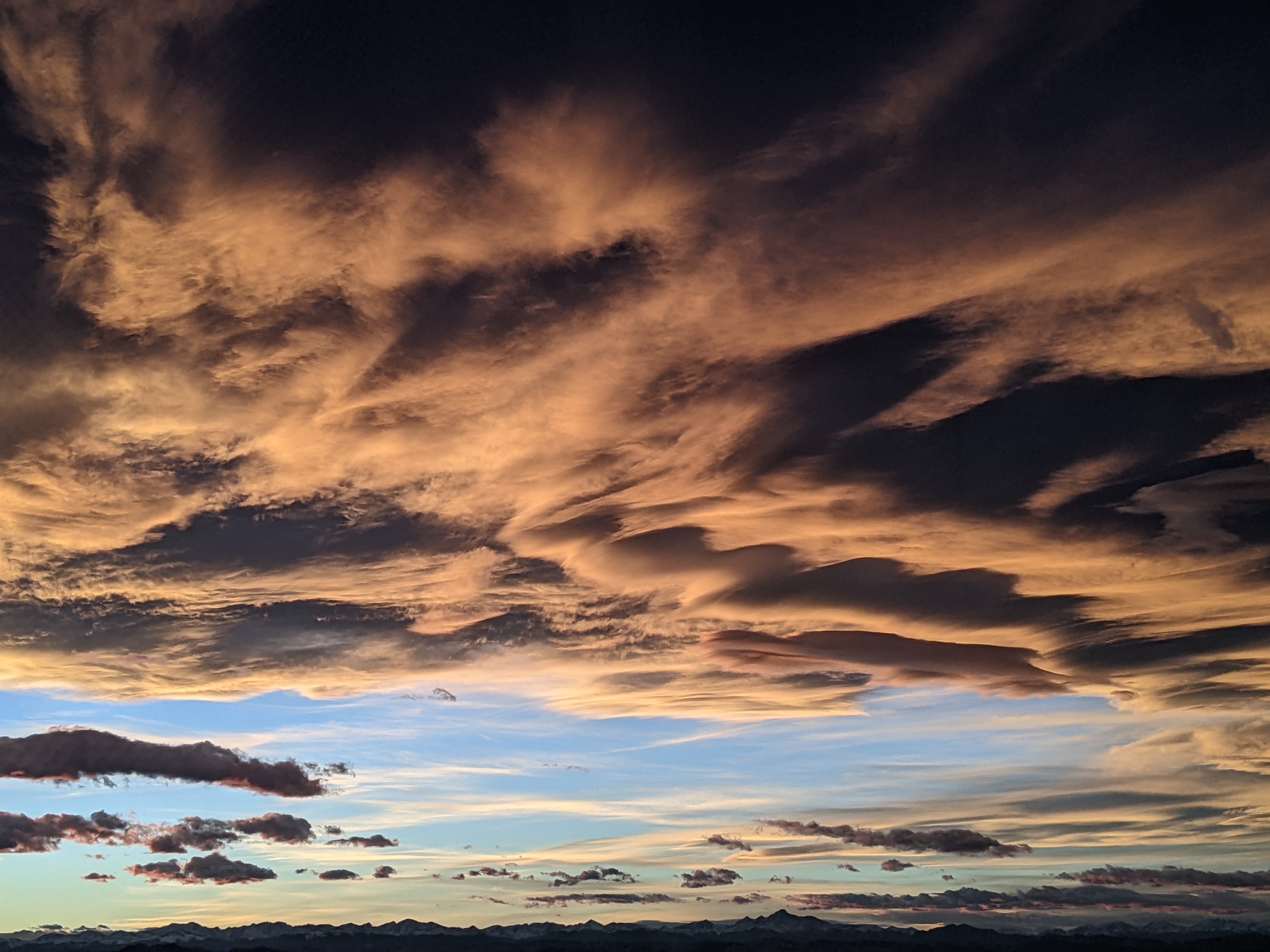
Good rain chances to bookend the weekend

Thursday, August 22, 2024
Temperatures reached the low-to-mid seventies early this Thursday afternoon and have fallen into the mid-sixties late this afternoon after a passing shower. Continued abundant monsoonal moisture may allow for another shower today with better chances on Friday before activity may decrease for a time on Saturday. But Sunday looks like another active day as the first fall-like cool front of the season approaches our area.
A ridge of high pressure is currently located over most of the country save for two strong troughs of low pressure located over the Pacific Northwest and the Northeast. The Pacific Northwest storm has already nudged the center of the high pressure towards Texas and the southwest winds ahead of the storm and on the backside of the high pressure have brought abundant monsoonal moisture into the region, highlighted by a brief but strong thunderstorm yesterday afternoon that dropped between three and four-tenths of an inch of rain around town in about fifteen minutes.
The cloudy morning has limited the sunshine today, leading to the pleasantly cool but humid weather with the relative humidity late this afternoon around seventy percent, well above the twenty percent recorded early on Wednesday afternoon. We may see another shower early this evening before the next round of showers could pass through early Friday morning thanks to some storms brewing over northeast Arizona.
Clouds associated with those possible showers may delay additional storms from forming until later in the day, and good shower chances will continue through the night as high temperatures on Friday again reach the mid-seventies, about five degrees below our average of 81 F.
By Saturday, the Pacific Northwest trough is forecast to elongate southward, with the northern end moving into Alberta and the southern end pinwheeling into Nevada. There is a slot of dry air ahead of the trough which may decrease the storm activity during the morning and early afternoon, though late-afternoon and evening showers may still be possible with high temperatures a degree or two warmer than Friday.
By Sunday, the trough is forecast to weaken with the southern part moving slowly toward our area, eventually bringing the first fall-like cool front through our area later in the day or early Monday. Another active day is forecast with stronger storms possible ahead of the front after noon, with high temperatures struggling to reach seventy degrees.
Snow levels are forecast to fall below 13,000′ by Monday morning, so if the precipitation can last through Sunday night, a dusting of snow may adorn the highest peaks of the Zirkels. But there is some uncertainty regarding the timing and strength of the cool front, and I’ll have more details about that in my next regularly scheduled weather narrative on Sunday afternoon.
Add comment
Fill out the form below to add your own comments


