Showers to decrease and temperatures to warm this weekend

Thursday, June 27, 2024
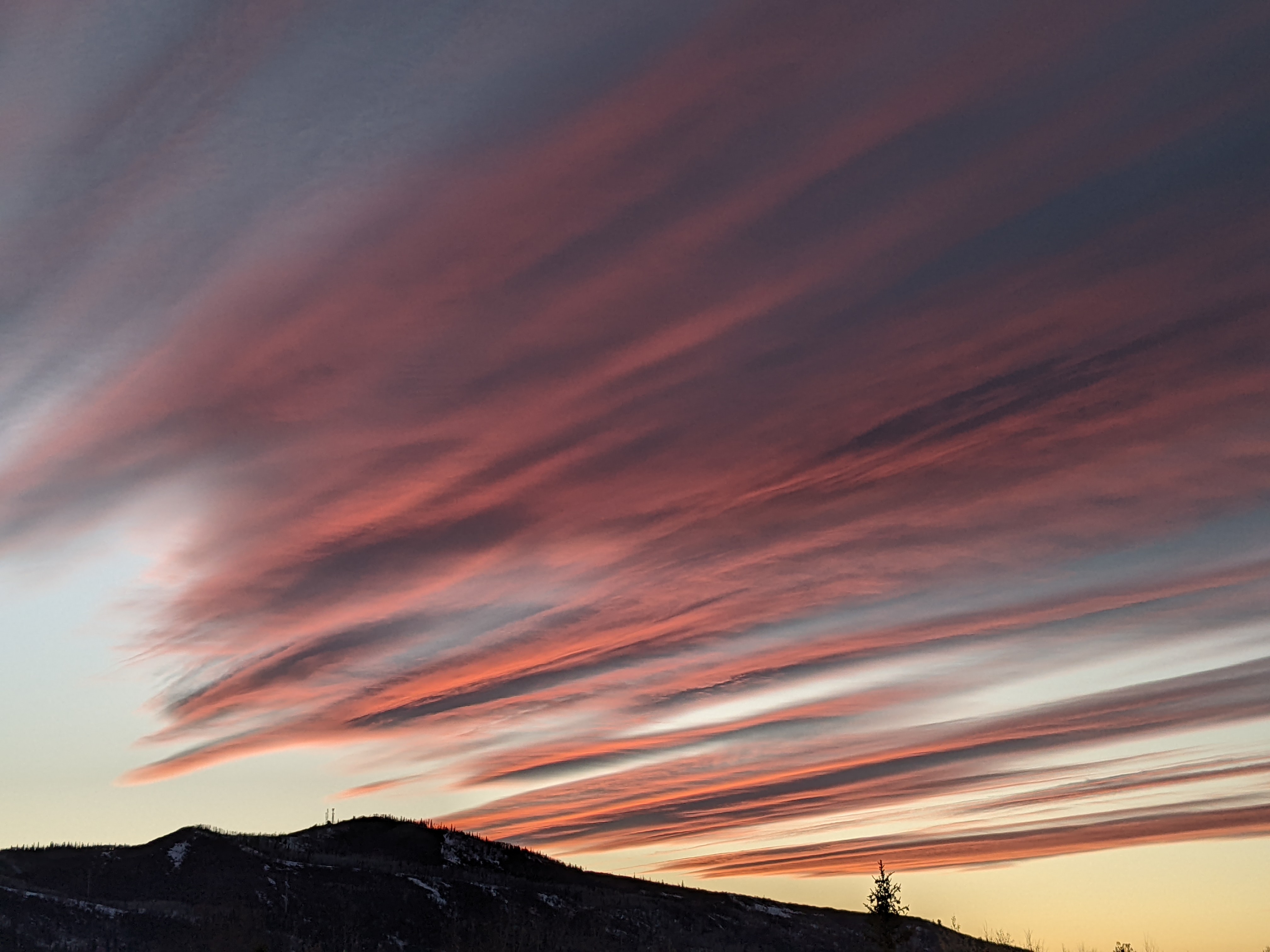
After reaching the upper-seventies within the last hour in Steamboat Springs, temperatures have fallen into the mid-seventies under cloudy and threatening skies this Thursday mid-afternoon. Showers are likely from now through Friday, including tonight, before being relegated to the usual afternoons and evenings for the weekend under sunny morning skies and low to mid-eighty-degree afternoon temperatures.
The showers from yesterday afternoon through the night were due to moisture from the south being carried over our area by winds rotating clockwise around a ridge of high pressure over the Southeast in a monsoonal pattern. The unusually high humidity for our area created efficient rain showers yesterday leaving about a third of an inch of rain at my house near the base of the Steamboat Ski Resort.
Storms may be stronger today thanks to the southern end of a storm currently moving through Montana grazing our area through Friday and providing an additional source of atmospheric lift. This extra lift means that the sun is not necessary to trigger the storms, so look for the possibility of showers tonight and even tomorrow morning. Of course, daytime heating adds to the atmospheric instability, so storms may be stronger later on Friday.
By Saturday, a mid-latitude ridge of high pressure briefly builds overhead as the Montana storm moves through the upper Midwest. The drying atmosphere should lead to a sunny Saturday morning with high temperatures moving back toward the mid-eighties with a chance of afternoon and evening storms thanks to lingering moisture.
Meanwhile, a wave of energy ejecting out of a persistent area of low pressure over the Aleutian Islands is forecast to cross the Gulf of Alaska on Saturday and the Pacific Northwest coast early on Sunday. At the same time, the ridge of high pressure over the Southeast is forecast to squirt back westward underneath the Midwest storm during the weekend, reintroducing moisture from the south back to our area on Sunday and Monday.
So look for another sunny morning Sunday with a degree or two of warming from Saturday and more chances for afternoon and evening storms. The Pacific Northwest storm is then forecast to cross the Great Basin on Monday, and energy ejecting out of the storm will conspire with the already-present moisture for an active day of weather on Monday.
Right now, moisture is forecast to be scoured from our area by the passing Great Basin storm on Tuesday, but I’ll have more details about that in my next regularly scheduled weather narrative on Sunday afternoon.
Add comment
Fill out the form below to add your own comments


