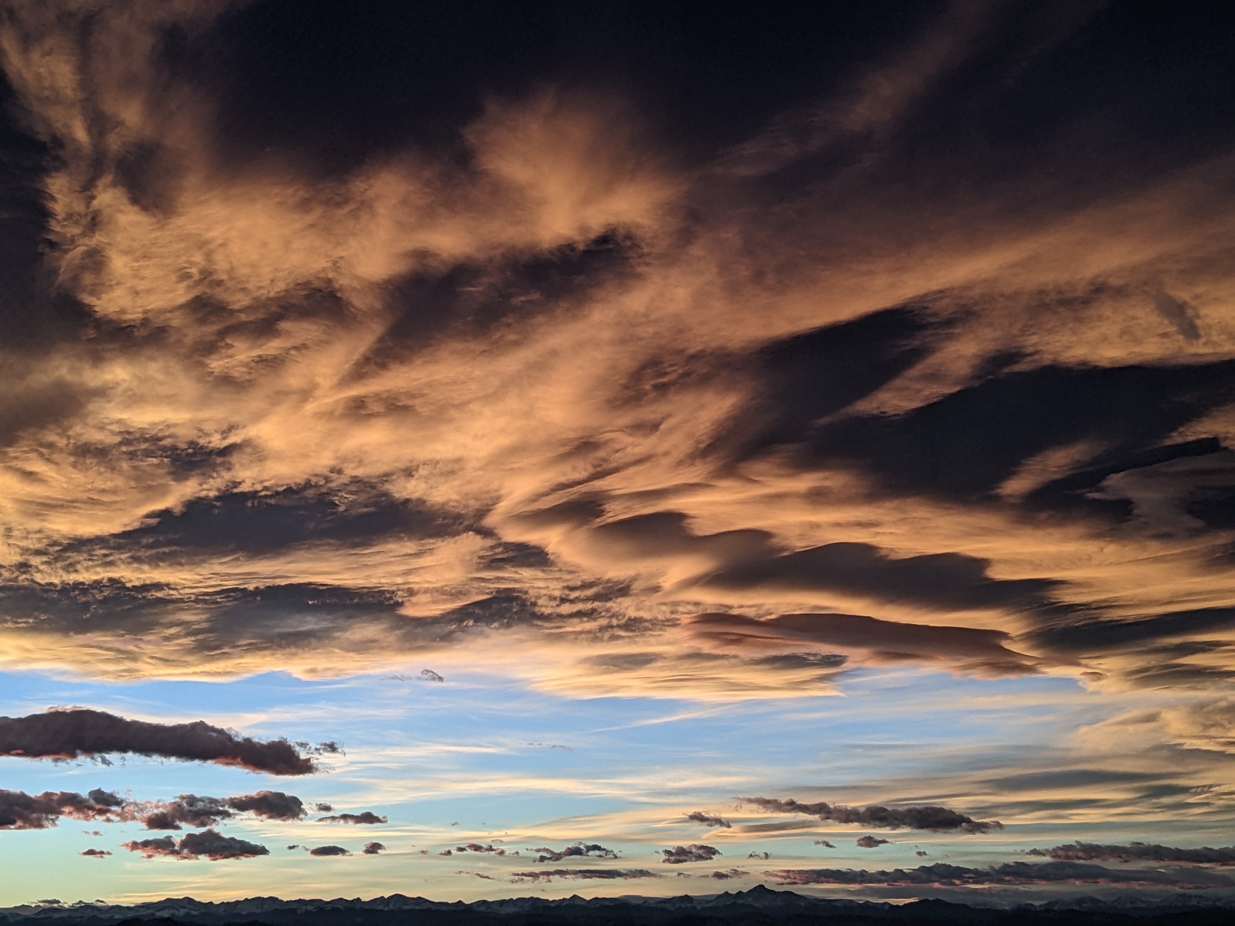
Cold front to arrive Monday night for a dreary Tuesday
Sunday, May 19, 2024
Temperatures are around sixty degrees under showery skies this Sunday mid-afternoon in Steamboat Springs. The showery weather will continue into this evening ahead of what could be a mostly dry and breezy Monday. Then, a cold front on Monday night will bring high-elevation snows and mostly rain, along with some snowflakes, in town through a raw Tuesday before this round of precipitation ends and temperatures warm on Wednesday and Thursday.
We’ve already seen some locally heavy showers today that started by noon thanks to energy ejecting out of a storm currently centered over the Pacific Northwest. The storm is forecast to move through the Great Basin on Monday and early Tuesday before passing overhead by Tuesday night. The cold front associated with the storm will move through our area Monday night, and we should see a breezy and mostly dry Monday with high temperatures in the upper sixties and winds out of the southwest ahead of the storm.
Additionally, an eddy of low pressure loitering well off the coast of southern California this past week will be dislodged by the very southern end of the approaching storm, and is forecast to move across the Desert Southwest early on Monday and Colorado on Monday night. The combination of the cold front and the eddy should lead to precipitation breaking out Monday night and continuing through the day Tuesday, with high temperatures only managing to reach the low-fifties, around fifteen degrees below our average of 67 F.
There could be 3-6” of snow accumulation at and above mid-mountain, and though it will be mostly rain in town we could see some snowflakes mixed in, especially under the heavier showers. Precipitation should mostly end by Tuesday night, and though we may see some showers on Wednesday, temperatures should rise about ten degrees from Tuesday into the low sixties.
Meanwhile, another storm currently near the eastern tip of the Aleutian Islands is forecast to move south along the British Columbia coast on Monday and Tuesday before affecting the Pacific Northwest on Wednesday. The storm is forecast to weaken Wednesday night as it crosses Idaho before dragging a weak cool front through our area by later Thursday. Depending upon the timing of the front, we could see high temperatures reach the upper sixties along with a shower or two along and behind the cool front.
More upstream energy and moisture are currently forecast to create a weekend of unsettled weather, though that might change over the next several days. So be sure to check back here on Thursday afternoon where I’ll have more details about the weather for next weekend in my next regularly scheduled weather narrative.
Add comment
Fill out the form below to add your own comments


