Unsettled weather to continue through the week
Sunday, April 28, 2024
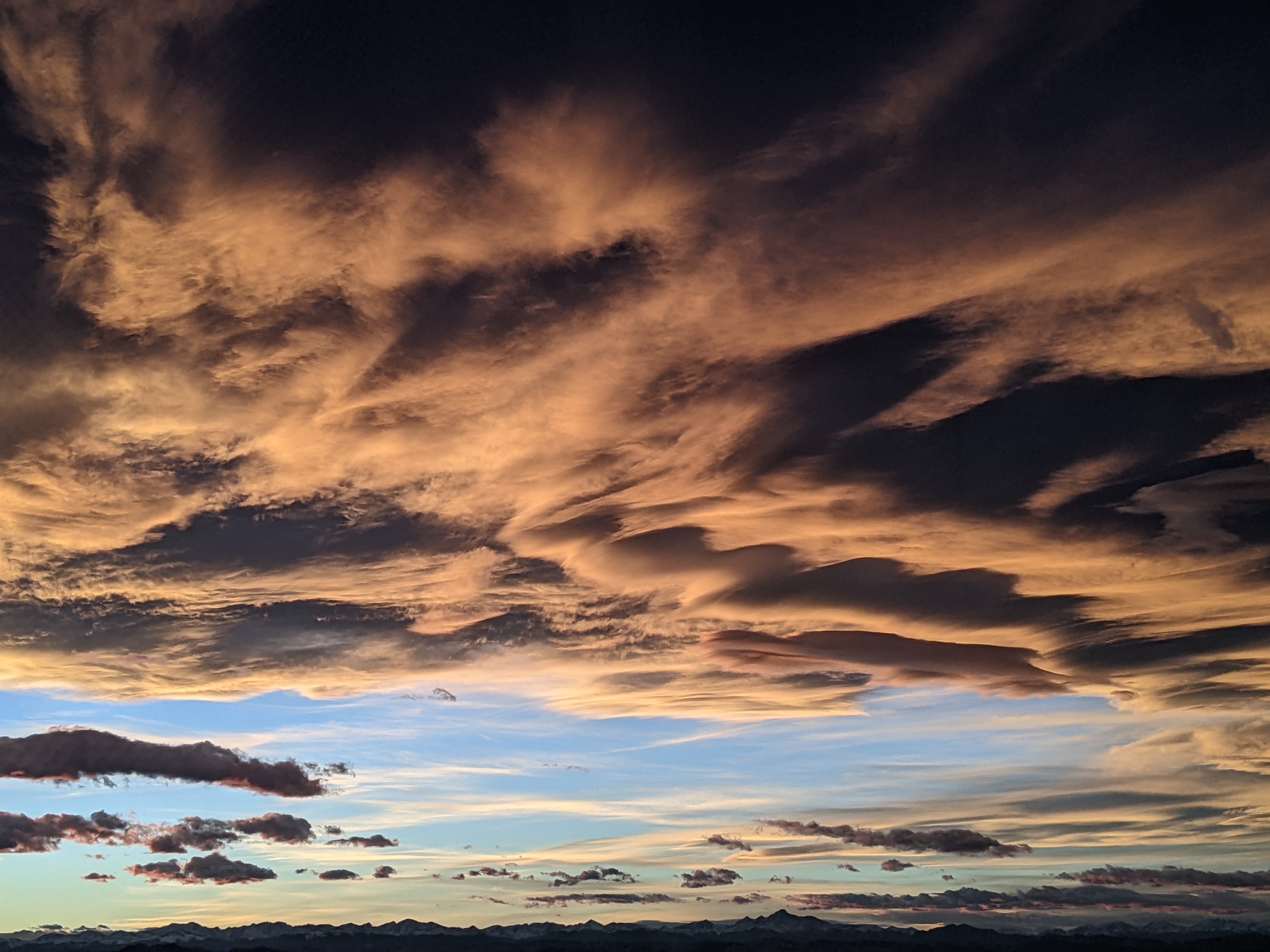
A gray day is over the Steamboat Springs area with temperatures only in the low forties on this Sunday mid-afternoon. Showers will continue today before taking a break on Monday followed by a quick round of showers Tuesday morning. Another break is advertised for Tuesday afternoon through Wednesday morning, with a Tuesday afternoon shower possible, before a cold front later on Wednesday brings the chance for accumulating snow at all elevations by Thursday morning.
The gusty easterly winds that reached above 50 mph at mountain-top Saturday around noon have been replaced by winds from the northwest behind the departed storm now located over the Northern Plains. Showers have emerged today in the cool, moist and favorable northwest flow and are expected to continue through the the early evening, keeping daytime temperatures in town well below our average of 58 F. The good news is that we will see peeks of sun, though any surface heating will quickly destabilize the atmosphere and force more showers with thunder, brief locally heavy rain and small hail possible.
Meanwhile, a piece of energy rotating around an eastward-moving cold storm in the Gulf of Alaska will force a transient ridge of high pressure over our area on Monday for a pleasant day with high temperatures warming to near average. A cool front associated with that energy is forecast to graze our area Tuesday morning, accompanied by another round of showers with 1-4” of snow possible at and above mid-mountain at the now-closed Steamboat Resort.
We should have some sun Tuesday afternoon, with some showers possible, as the Gulf of Alaska storm moves through the Pacific Northwest and approaches our area on Wednesday. Weather forecast models are struggling with the speed and intensity of the front, but agree it will be colder than the one Tuesday morning, perhaps cold and strong enough to bring snow to the Yampa Valley floor by Wednesday night.
You didn’t think we were done with winter yet, did you? A reinforcing surge of cool air from western Canada behind the storm is currently forecast to move through our area on Thursday, continuing snow showers through the day and overnight. Right now, it looks like there could be several inches of snow accumulation on the unpaved surfaces in town between Wednesday night and Friday morning, and another 4-8” on the hill.
But I would expect some changes to that forecast as we move through the workweek, so be sure to check back to my next regularly scheduled weather narrative on Thursday afternoon.
Add comment
Fill out the form below to add your own comments


