Beautiful weekend on tap
Thursday, February 22, 2024
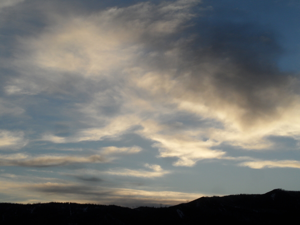
The nine and a half inches of new snow at mid-mountain and fifteen inches up top at the Steamboat Ski Resort that was reported this Thursday morning has been augmented by around two inches of snow that continued to fall through the morning. Peeks of sunshine have appeared this mid-afternoon as temperatures hovered around freezing in the town of Steamboat Springs. There may be some snow showers around tonight but mostly sunny skies should be overhead by Friday afternoon and last through a beautiful weekend ahead of another possibly significant winter storm starting as soon as Monday.
A ridge of high pressure currently centered over Nevada has built ahead of a storm in the form of an eddy off the coast of northern California. The eddy is forecast to move southwest and loiter off the coast of central California through the weekend. Additionally, a wave of cold air from eastern Siberia is forecast to quickly move across the northern Pacific through the weekend before mixing with more cold air sourced from near the Arctic Circle in western Canada on Sunday.
Lingering moisture in our favorable winds from the northwest in advance of the Nevada ridge of high pressure may keep higher elevation snow showers going this evening with an additional 1-4” possible overnight.
The ridge of high pressure is then forecast to briefly flatten thanks to a storm moving across western Canada on Saturday before reforming over the Desert Southwest for the weekend. While the California eddy is eventually forecast to ingest some tropical moisture late in the weekend, the warm and dry southwest flow ahead of the eddy until then will bring mostly sunny skies to our area by Friday afternoon that will persist through the weekend. After another day of high temperatures in the low thirties on Friday, they will warm into the upper thirties on Saturday and low forties on Sunday which is around five degrees above our average of 37 F.
Enjoy the beautiful weekend since a winter storm is advertised to start as early as Monday. While weather forecast models agree that the Siberian wave will intensify as it mixes with more cold air from western Canada and also agree that the wave will eventually force the California eddy into the West, they disagree on the details of this interaction. There is a chance that tropical moisture from the eddy will overrun the cold Siberian air which would eventually bring significant low-density powder to our area. So be sure to check back to my next regularly scheduled weather narrative on Sunday afternoon to see how the storm is shaping up and how much snow we may expect.
Add comment
Fill out the form below to add your own comments


