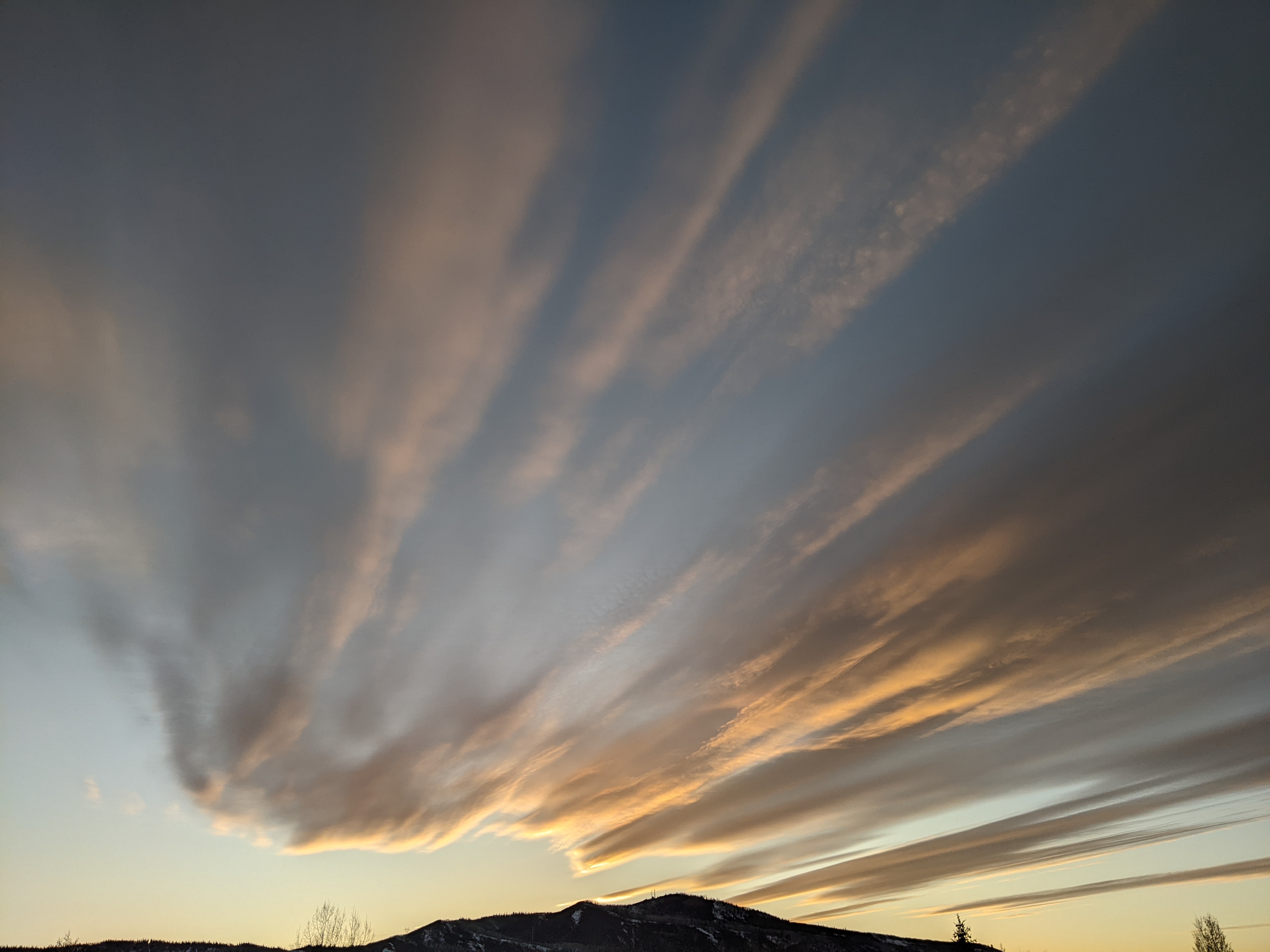
Good precipitation chances along with warming temperatures for most of the work week
Sunday, February 18, 2024
After chilly low temperatures of -10 F near the base of the Steamboat Ski Resort and -6 F at the Bob Adams airport this Sunday morning, the base temperature has warmed to the mid-teens under cloudy skies as of noon. A quick-moving disturbance responsible for the clouds this morning will bring light snow showers from this afternoon through this evening ahead of a mostly sunny Washington’s Birthday. But precipitation chances return on Tuesday and Wednesday thanks to a warm and moist pattern that will bring some liquid precipitation to town and snows to the mountain.
A deep low pressure system currently extends from the Gulf of Alaska to the south while a broad ridge of high pressure sits over the Baja peninsula. The low pressure area is composed of two circulation centers; one over the Gulf of Alaska and another off the coast of northern California. A wave of energy and moisture that earlier ejected from the southern low pressure area is currently moving through the Great Basin and should start light snow showers by this afternoon that continue through the evening.
I would expect 1-4” to be reported on the Monday morning mid-mountain ski report along with clearing skies that should bring a mostly sunny day for Washington’s Birthday.
A strong storm currently over the Aleutian Islands is forecast to move to the east and force a complicated reorganization of the low pressure system while that ridge of high pressure over Baja builds over the Desert Southwest early in the work week. Additionally, the southern end of the low pressure system has tapped a band of subtropical moisture in another atmospheric river event that will first bring copious precipitation to most of California on Monday.
There is still considerable weather forecast model disagreement on the proximity of the remnants of the atmospheric river to our area, though the more pessimistic American GFS has trended toward the wetter European ECMWF over the last couple of days thanks to a weaker ridge of high pressure over the Desert Southwest.
If the wetter forecast verifies, we can expect precipitation to start early Tuesday with snow on the hill and snow turning to a rain-snow mix or even all rain in town by Tuesday afternoon. Precipitation will likely revert to snow in town by Tuesday night and we could see 2-5” of dense snow by the Wednesday morning mid-mountain ski report.
Meanwhile, that low pressure off the West Coast will have completed its reorganization and is forecast to quickly move across the West Coast early Wednesday, the Great Basin by midday and near our area by the afternoon. Temperatures should be marginally cooler than Tuesday sparing us the possible rain in town in favor of snow or a rain-snow mix. But a still-dense snow on the hill could leave 2-5” during the day with another 2-5” overnight for a 4-10” Thursday morning mid-mountain report.
Slightly cooler temperatures on Thursday will keep the snow showers at all elevations lingering during the day with some additional accumulations possible on the hill. Snows should end by later Thursday ahead of a transient ridge of high pressure that is currently advertised to bring a mostly sunny weekend. Those few days of nice weather look to be short-lived as the storm door opens again after the weekend thanks to that Aleutian storm and additional upstream energy.
So enjoy the changeable work week weather, and be sure to check back to my next regularly scheduled weather narrative on Thursday afternoon to see if the sunny weekend forecast holds and if the storm pattern for the following work week is still on track.


