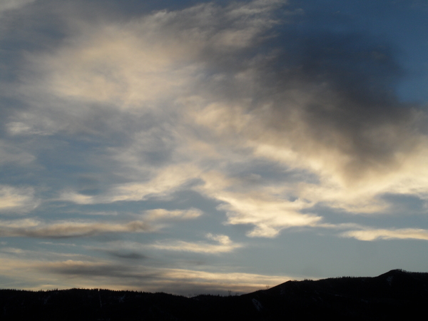
Springlike break in the winter weather
Sunday, January 28, 2024
The Sunday morning clouds have dissipated late this afternoon in Steamboat Springs allowing the temperature to reach 39 F under sunny skies. After another cloudy morning on Monday, expect lots of sun and temperatures warming into the forties through midweek for a taste of spring. Unsettled weather may be back in the forecast starting at the end of the work week depending on the track of an incoming warm Pacific storm.
A ridge of high pressure currently over the West is sandwiched between a vortex of cold air centered over Hudson Bay and a broad trough of low pressure centered over the Aleutian Islands that extends southward toward Hawaii.
Some energy traveling over the top of the ridge of high pressure and down its eastern side will graze our area tonight, bringing clouds and perhaps a few snowflakes to the Steamboat Ski Resort. But like today, the sun should appear by Monday afternoon and allow high temperatures to end up a few degrees warmer than today.
Mostly clear skies should bring high temperatures in the mid foties by midweek, around fifteen degrees above our average of 31 F, while the clear overnight skies will allow the low temperatures to drop to the mid teens, about ten degrees above our average of 6 F.
A storm is forecast to develop on the southern end of that Aleutian low pressure area early in the work week. Not only will this storm draw moisture from around Hawaii in an atmospheric river nicknamed the Pineapple Express, but the incoming storm will shift the ridge of high pressure toward the Northern Plains where the Hudson Bay vortex of cold air will halt its eastward progress.
Typical of an El-Niño weather pattern. the wet and warm Pacific storm is forecast to first bring likely heavy precipitation to the West Coast before eventually moving eastward underneath that ridge of high pressure by the end of the work week.
Weather forecast models disagree on how far south the storm will eventually move and how severely the storm splits as it it crosses the West Coast, with the American GFS bringing the storm further south across the Desert Southwest compared to the more northward biased European ECMWF.
Unfortunately for our area, if the storm ends up too far south, then it’s possible we won’t see any precipitation. However, the more northern solution from the ECMWF currently has significant precipitation starting around the end of the work week and continuing into next weekend.
So enjoy the gorgeous several days of coming springlike weather, and be sure to check back to my next regularly scheduled weather narrative on Thursday afternoon for more details on the incoming storm.
Add comment
Fill out the form below to add your own comments


