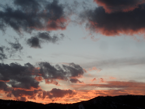
Snow and cold to continue through the weekend
Thursday, January 11, 2024
The sun has appeared briefly this Thursday mid afternoon in Steamboat Springs and takes the edge off the current temperatures in the mid teens, which are almost fifteen degrees below our average high of 29 F. Say goodbye to the sun until next Tuesday as four more waves of snow move overhead starting tonight and lasting into Martin Luther King Jr. Day. And very strong winds accompanying the second wave will make travel difficult to impossible at times from Friday morning through most of the night due to blowing snow.
A sharp ridge of high pressure still extends from Alaska to the North Pole while a deep and cold trough of low pressure just downstream spans from the North Pole across Canada and most of the U.S. Additionally, and what will lead to heavy snowfall rates from Saturday night through Sunday noon, a storm currently extends from the Aleutian Islands southward to Hawaii and has incorporated a stream of tropical and subtropical moisture in a so-called atmospheric river.
The low pressure area over most of North America is anchored by a vortex of bitterly cold air over the Northwest Territories of Canada that currently contains surface temperatures around -40 F, which incidentally is also the same in Celsius. This bitterly cold air is on the move as energy spins counterclockwise around the vortex and drags a chunk of that cold air toward our area by Friday night.
The jet stream ahead of that cold air, which is quite strong thanks to the temperature difference between the West Coast and northern Rockies, is forecast to bring very strong winds overhead from the west and hopefully the northwest on Friday, peaking around noon with sustained mountain top winds as high as 40 mph and gusts nearly twice that.
Ahead of that, snowfall should redevelop tonight with the first wave, and including the several inches that fell this morning we should see a 4-8” mid mountain report on Friday morning. Increasing winds through the morning could create a problem for lift operations at the Steamboat Ski Resort as the afternoon approaches. Travel will also be problematic thanks to blowing snow, becoming difficult to impossible at times over Rabbit Ears Pass from late morning Friday through most of the night.
The cold front associated with the second wave should move through later Friday accompanied by moderate to heavy snow. Another 5-10” is possible for the Saturday morning report at mid mountain, with snow quality likely suffering thanks to the overnight winds. Snows will continue through the day with 2-5” expected.
But the main event begins later Saturday as the southern part of that Aleutian storm breaks away and moves underneath the Alaskan ridge of high pressure on Friday night. This storm and the associated atmospheric river should lead to consistently high snowfall rates starting Saturday night and continuing through Sunday morning, with an 8-16” Sunday morning report and another 4-8” falling during the day.
But more energy rotating around the Northwest Territories in the fourth wave will combine with the tail end of the Aleutian storm later Sunday and the associated leftover moisture to create another period of moderate to heavy snowfall that will last through most of Martin Luther King Jr. Day. We could wake up to another 8-16” on Monday morning with more snow falling during the day.
There are a lot of moving pieces which are meteorologically interesting, but the main message is a long duration winter storm that starts tonight and lasts through the weekend. Total accumulations should be in the 10-20” range in town and twice that at the Steamboat Ski Resort, with hazardous travel on Friday. We will be right on the edge of the coldest air as the jet stream overlays a somewhat stationary front extending from northern Nevada across northern Utah and northern Colorado, and though we may see some relative warming as distinct waves of energy approach, cold temperatures will be the general rule.
In fact, the coldest temperatures are forecast for Tuesday in the wake of this event if skies clear, with low temperatures below zero, and likely well below. Enjoy what should be a monster weekend of snow, the wind on Friday notwithstanding, and I’ll be back with a refined snowfall guess for Monday morning in my next regularly scheduled weather narrative on Sunday afternoon.


