Cold and dry ahead
Sunday, December 24, 2023
It’s still snowing in Steamboat Springs late this Sunday afternoon after the high temperature of the day only managed to reach 21 F. The snow showers should taper off tonight and may last into Christmas Day at the higher elevations before we are left with just the cold to start the week. Clouds will come and go while temperatures begin moderating by midweek.
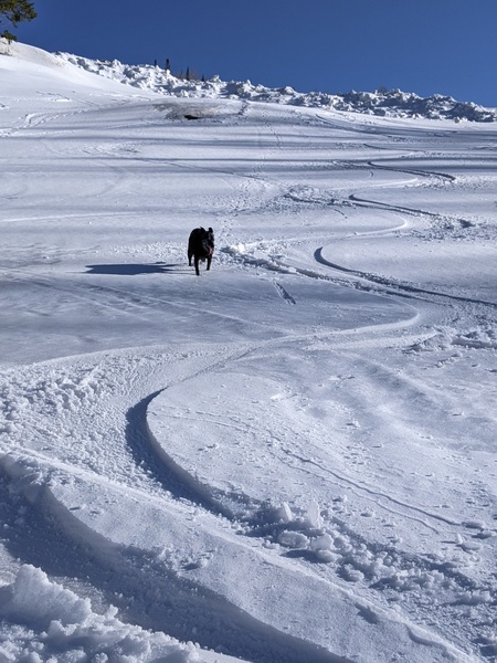
The snows started yesterday morning as the first of two low pressure systems affected our area, and by this morning the Steamboat Ski Resort reported 11” at mid mountain and 10” up top. And thanks to favorable moist and unstable northwest flow associated with the second system, mid mountain picked up another 8” during the day with the top gathering another foot, leaving a 19” storm total at mid mountain and 22” up top as of 4 pm Sunday.
Those storm totals are going higher, as a quick check of the Steamboat mid mountain powdercam shows two additional inches between 4 and 5:30 pm, and an unbelievable six inches at the Steamboat upper mountain powdercam for a snowfall rate of four inches per hour up top!
The two low pressure areas are forecast to merge by Christmas Day over Nebraska and Kansas and form an intense cyclone fueled by warm and moist air drawn northward from the Gulf of Mexico. Behind the cyclone, northerly winds will carry more cold air from the Canadian Plains overhead through Tuesday, keeping high temperatures in the high teens for Christmas Day and low twenties for Tuesday, well below our average of 29 F. And low temperatures will fall to below our average of 5 F to the low single digits tonight for a brisk start to Christmas Day and perhaps below zero for Tuesday morning.
A ridge of high pressure is forecast to begin building over the West Coast by Christmas Day ahead of a strong storm developing in the Gulf of Alaska, and move slowly eastward through the week. Energy and moisture ejecting from the Gulf of Alaska storm may move around the periphery of the ridge and eventually overhead around Wednesday and Friday night, bringing passing clouds and only a slight chance of snow showers.
Otherwise, another cool start to Wednesday morning gives way to average temperatures during the day and around five degrees above average starting Thursday and lasting into the weekend. There is very little agreement on our weather around New Years, with both dry and showery solutions offered, so be sure to check back on Thursday afternoon for my next regularly scheduled weather narrative for more details on the weather during the last weekend of the year.
Add comment
Fill out the form below to add your own comments


