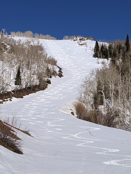
Snows to last through Monday ahead of dry skies
Sunday, December 10, 2023
Temperatures are approaching twenty degrees with light snow falling in Steamboat Springs this Sunday mid afternoon. The snows will continue through Monday even as temperatures warm into the thirties before stopping by Tuesday. But even though the precipitation stops ahead of a dry period that looks to last past next weekend, clouds look to hang around through midweek before some sun reappears by Thursday and beyond.
The main part of the storm that produced a three day total of 17” at the Steamboat Ski Resort is currently over the Appalachians which leaves our area in moist and favorable northwest flow. The reason winds from the northwest are favorable is that they are lifted as they encounter the north-south oriented Park Range in a process called orographic , or terrain-driven, lifting. Ideal conditions for accumulating snowfall are then rounded out by some cold air, which makes the atmosphere unstable and adds to the lifting, some storm energy which also adds to the lifting, and of course moisture.
While winds from the west can also produce significant orographic snowfall, they tend not to have the cold air associated with winds from the northwest which negatively affects atmospheric stability and snow crystal shape. Additionally, and well known by those who ski here, westerly winds impinge directly on the predominantly westward facing mountain which can create substantial, but wind affected snow.
These northwest orographics will force another round of accumulating snowfall that will begin in earnest tonight and last through Monday. Though temperatures are forecast to warm into the mid thirties on Monday, which is around five degrees above our average of 31 F, the remaining three ingredients for orographic snowfall remain through the day Monday as a couple of waves in northwest flow pass overhead tonight and again later in the day Monday.
I know I mentioned an inch or two of accumulation in the last Thursday weather narrative, but both the wave and moisture tonight are more robust in the latest weather forecast models, and we could see 3-6” of snow for the Monday morning report with another 1-4” during the day and evening.
Meanwhile, a wave forecast to cross the Pacific Northwest coast on Monday is forecast to develop into an eddy that travels through Nevada on Tuesday and into Arizona on Wednesday. Our winds will shift to be from the west on Tuesday and south on Wednesday which will cut off our moisture supply and raise temperatures to the upper thirties by Tuesday and around forty degrees for Wednesday. Clouds look to stick around through Wednesday thanks to the eddy to our southwest before there is a chance for some sun on Thursday.
Unfortunately, weather forecast models agree that a ridge of high pressure builds over the West behind that departing eddy, so mostly sunny skies and temperatures warming to the low forties are likely for next weekend, and perhaps through at least part of the following work week. But that is over a week away, and forecasts can change, so check back to my next regularly scheduled weather narrative on Thursday afternoon for an updated look at the weekend weather and when the chance of storms might return.


