More beautiful weather through midweek
Sunday, November 12, 2023
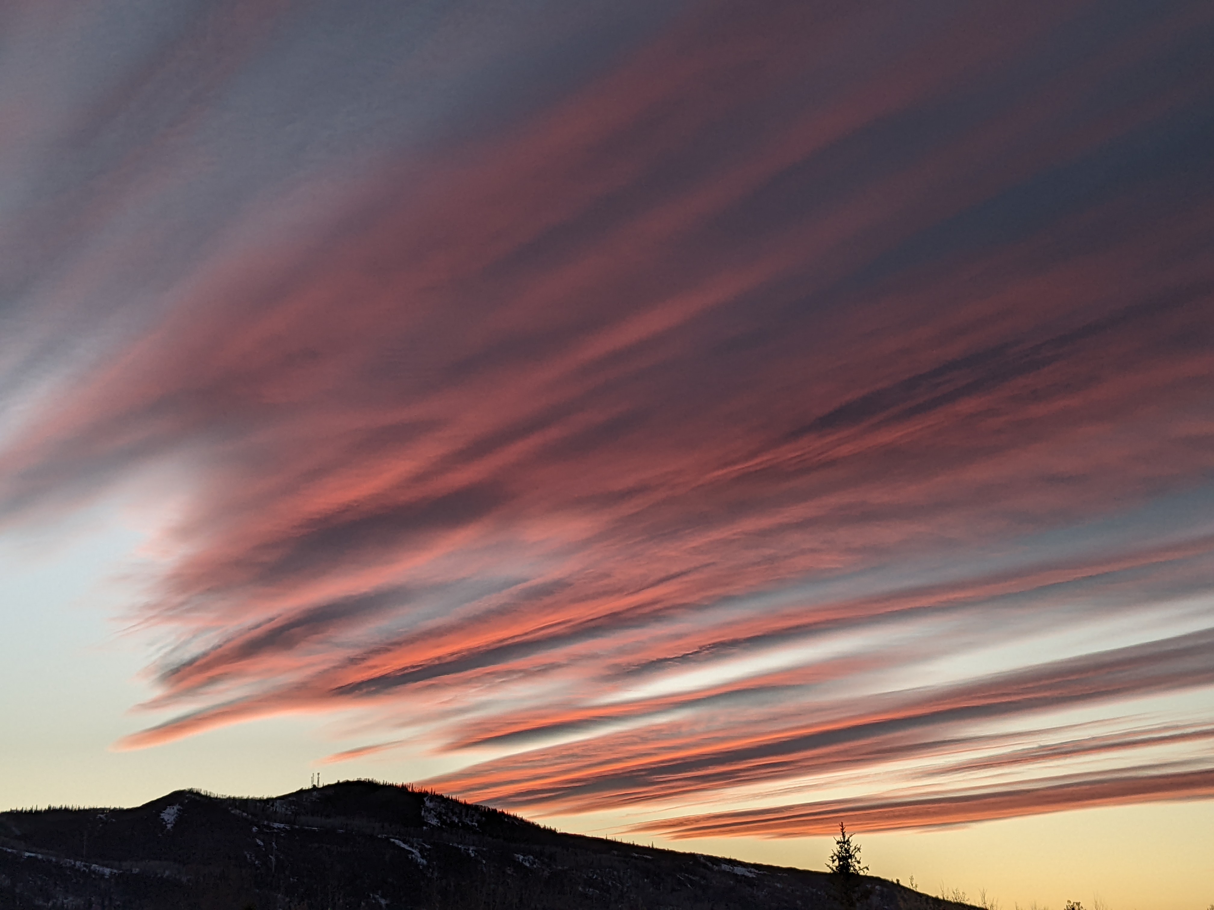
Temperatures are in the mid forties under cloudless skies late this Sunday morning in Steamboat Springs. After the last several days with high temperatures in the forties, they will reach the mid fifties starting today and lasting through midweek under mostly sunny skies. The weather looks to turn unsettled starting Thursday with a chance for some passing showers, though what happens after that is unclear.


 Before we get to the weather forecast, I’d like to revisit last week’s discussion on the predicted super El-Niño for this winter. I’ve collated three more charts that compare the snowfall recorded at mid-mountain at the Steamboat Ski Resort during the last three measured events since 1950.
The first shows the seasonal snowfall for each of the events, with the obvious conclusion that stronger El Niños are correlated with higher snowfall. However, beware of extrapolating over only three events, especially since this year is still just a prediction!
The second chart shows the monthly snowfall by year during these three events while the third shows the snowfall by month.
It was tough for me to draw any additional conclusions with these last two graphs, but feel free to chime in with your thoughts in the comments sections below!
Returning to the weather forecast, a ridge of high pressure currently sits over the West while a broad ridge of low pressure extends southward from the Aleutian Islands through the Gulf of Alaska.
Weather forecast models agree that cold air moving southward across Alaska will consolidate this trough into an eddy that is forecast to move south to be off the coast of California by midweek. Additionally, several waves in the northern Pacific jet stream are forecast to skirt to the north of the eddy through the work week, with some or all of these waves interacting with the eddy in some manner.
Until any of these interactions happen, our weather will stay beautiful with warm sunny days and high temperatures reaching the mid fifties, which is around ten degrees above our average. Low temperatures will also warm from the teens these last several days, reaching about five degrees above our current average in the upper teens.
By Thursday, there is considerable disagreement both between and within the weather forecast models as to how much interaction between the northern Pacific waves and the eddy off the California coast occurs. Right now, one wave may grab some moisture from the eddy as it moves through the Gulf of Alaska later Tuesday and graze our area on Thursday, leading to a cooler day with a chance for some showers.
Another more substantial wave may eventually force the eddy inland over the weekend, leading to more cool and unsettled weather. And for those anxious about Opening Day snowfall for the Steamboat Ski Resort scheduled only ten days away on Wedensday, November 22, that more substantial wave may bring a better chance of snowfall in the several days before opening.
There is a lot of time for the forecast to evolve before then, so enjoy the current gorgeous weather and I’ll be back with my next regularly scheduled weather narrative on Thursday afternoon with more details on the evolving snow chances starting around next weekend.


