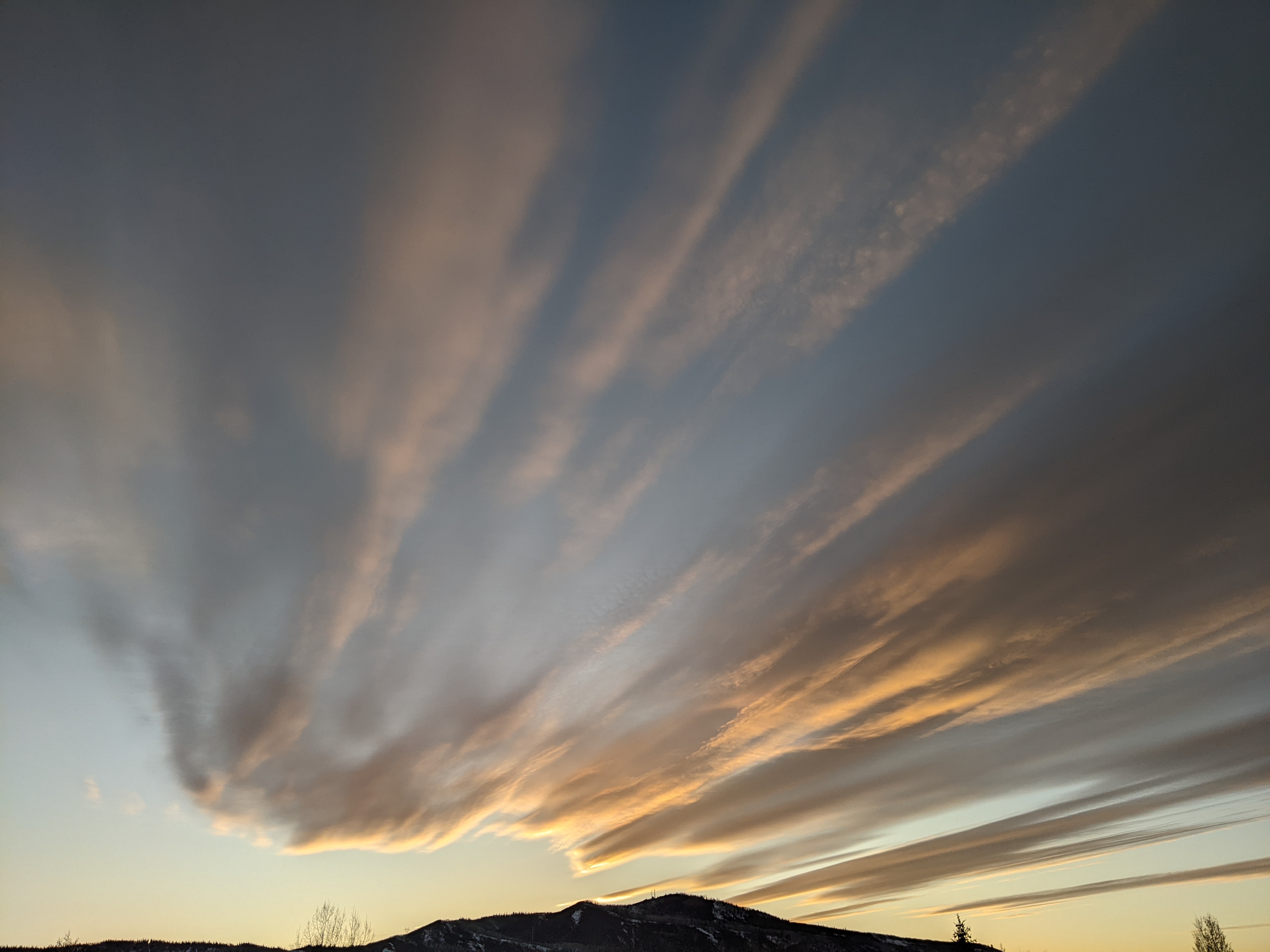
Wintry weather arrives tonight
Wednesday, October 11, 2023
After some sun this morning, the rain showers that started at noon are continuing this Wednesday mid afternoon in Steamboat Springs. The high temperature for the day of 61 F was reached at 11 am this morning ahead of a cold front making its way across the western slope which will drop our temperatures through the remainder of the day. Showers will continue with rain turning to snow at the higher elevations by sunset and in the valley after midnight, with significant accumulations expected at and above pass level by the time the storm winds down Thursday night. And though mostly sunny skies are forecast for the weekend starting by noon on Friday, daytime temperatures will only slowly recover through the weekend, especially with the coldest low temperatures of the season forecast for Saturday morning.
I am publishing this weather narrative a day early since the storm I discussed last Sunday has intensified, and the 3-6” on the hill I initially forecast between this afternoon and Thursday night has turned into 8-16” near the top of the Steamboat Ski Resort, 6-12” on Rabbit Ears Pass. and an inch or two down in the Yampa Valley.
The culprit is a much stronger storm as far more cold air was dumped into the cyclone while it was traversing the Gulf of Alaska than initially predicted by the various weather forecast models. We have already seen the rain showers ahead of the main cold front, and those showers should continue with rain changing to snow first near the top of the Steamboat Ski Resort by late this afternoon, Rabbit Ears Pass around sunset and finally the valley floor around or soon after midnight.
We should be waking up to snow at all elevations Thursday morning, with snow in town turning to a rain or rain-snow mix by the afternoon on a wet and cold day with high temperatures only reaching into the low forties, around twenty degrees below our average of 61 F. While we may only see an inch or two by Thursday noon on the non paved surfaces in town, moderate to sometimes heavy snows will continue at and above pass level through the morning and afternoon before ending by around midnight. Snowfall rates exceeding an inch per hour at times will likely make travel on Rabbit Ears Pass difficult at times through the day with visibility issues and slick roads.
Unfortunately, the Steamboat Ski Resort’s mid mountain powdercam and upper mountain powdercam are still down, so we will have to follow the accumulations on the CDOT web cams, which will also be helpful for those having to travel over the pass.
Most of the precipitation should be over by midnight Thursday, and clouds will slowly dissipate behind the storm through Friday morning with sun appearing for the afternoon. But the new air mass associated with the storm is quite cold, and after a start in the low twenties Friday morning, about five degrees below our average of 27 F, we should see high temperatures in the mid forties.
The mostly clear skies Friday night will allow low temperatures to plummet into the teens for the coldest morning of the season so far, but plenty of sun should allow high temperatures to rise into the low fifties on Saturday and upper fifties on Sunday, with near sixty degrees predicted to start the next work week.
Forecasts do not have a completely clear sky for the annular solar eclipse during Saturday morning that peaks around 10:30 am, but hopefully the mostly sunny skies allow for a good show that starts at 9:12 am and ends at 12:02 pm.
Enjoy the first snow of the season, the cool crisp fall days to follow and the eclipse Saturday morning, and be sure to check back to my next regularly scheduled weather narrative on Sunday afternoon where I’ll discuss the possibility of another midweek storm.


