High temperatures around eighty degrees and drying skies for the weekend
Thursday, August 3, 2023
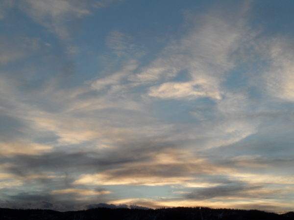
Temperatures are in the upper seventies with some storms passing by Steamboat Springs on this Thursday mid afternoon. Drier air from the southwest will approach our area for the weekend, but its northern extent will be limited by winds over northern Colorado generally from the west and northwest. This means slight chances for afternoon and evening thunderstorms along with high temperatures around eighty degrees.
The monsoonal push of moisture this week was not nearly as productive as advertised, and though we received rain every day this week, rain totals around town only amounted to between a tenth and a tenth and a half of an inch.
A Pacific wave currently over southwestern Wyoming is forecast to lift into north central Wyoming tomorrow and partially merge with a Pacific wave moving southeastward across the Canadian Plains. The resulting storm will strengthen as it moves into South Dakota on Saturday, and we will see our winds turning to be from the current southwest to the west on Friday and northwest by Saturday behind the storm.
Dry air currently over California is forecast to move toward the Four Corners on Friday, but its northern extent will be limited by the winds associated with the Wyoming storm. It looks like the most significant drying will be over areas to our south, so the lingering moisture means slight chances for afternoon and evening storms on Friday and Saturday for the Steamboat area. Temperatures will be quite pleasant with highs around eighty degrees, four degrees below our average of 84 F, and lows within several degrees of our average of 47 F.
Storm chances increase modestly for Sunday as another Pacific disturbance slips in behind the Wyoming storm and grazes our area as the pleasant temperatures persist.
Even though the ridge of high pressure currently centered over the Gulf Coast states is forecast to move back westward to the Desert Southwest and amplify through the next work week, its northern extent will be limited by additional Pacific waves moving over or near our area. So look for continued comfortable temperatures and slight storm chances to start the work week, and I’ll be back with my next regularly scheduled weather narrative on Sunday afternoon to discuss if this pleasant weather lasts through the week.
Add comment
Fill out the form below to add your own comments


