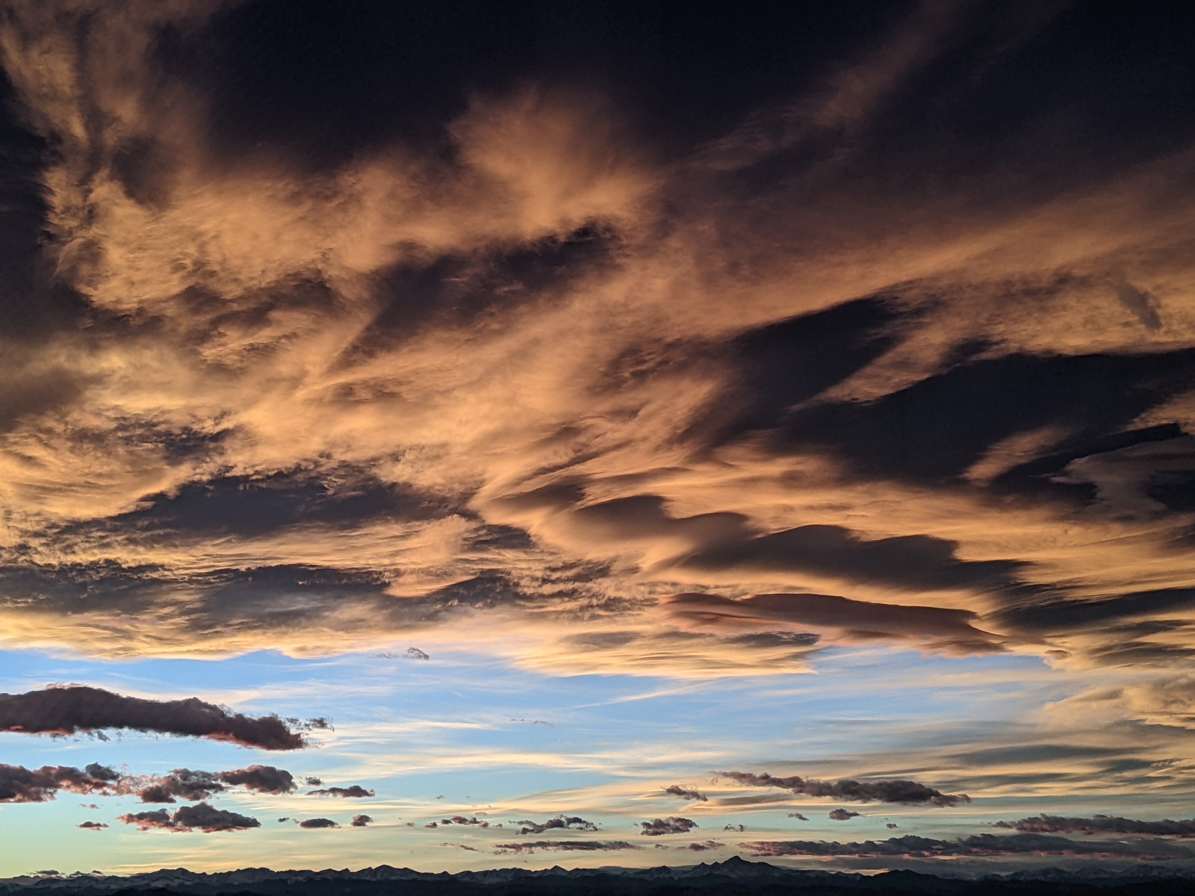
Nice start to the work week ahead of possible midweek storm
Sunday, May 7, 2023
Temperatures are in the low fifties under mostly cloudy skies this Sunday mid-afternoon in Steamboat Springs. After some precipitation on both the weekend mornings, shower chances remain this afternoon and evening before the unsettled weather temporarily abates. While Monday still has a chance for afternoon showers, those are gone for Tuesday and the first part of Wednesday before a potent storm brings a chance for significant precipitation on Thursday that may hang around for awhile.
Our current unsettled weather is courtesy of the second part of a wave of energy and moisture ejecting out of a broad trough of low pressure extending from the Gulf of Alaska through the Great Basin. The first wave Saturday morning brought snowflakes to town and 3” to the mid-mountain powdercam at the Steamboat Ski Resort and another 2” this morning before it quickly melted during both mornings.
More showers are on our doorstep and will continue through this evening before the atmosphere warms and slowly dries on Monday. Temperatures will be rise toward our average of 62 F on a mostly sunny day with a slight chance of afternoon and evening showers.
Meanwhile, no less than three disturbances are forecast to move around and through the Gulf of Alaska low pressure area through Monday, with the last one diving southward along the California coast by Tuesday afternoon and forming an eddy just north of Baja.
Temperatures will rise several degrees further on Tuesday for a beautifully sunny spring day as warm and dry air is carried over our area by winds from the southwest ahead of the eddy.
Weather forecast models have struggled mightily with the evolution of that eddy, so there is a lot of room for changes, but right now that eddy is forecast to move from the Desert Southwest on Tuesday night toward the western Colorado border by Wednesday. More dry air ahead of the storm should keep sunny skies overhead through Wednesday morning before first clouds and then shower chances increase by later in the afternoon and evening as the cold front associated with the storm moves through our area.
Our high temperatures on Wednesday will be dependent upon the arrival of clouds, but we could see the warmest temperatures of the week in the mid to upper sixties and perhaps even seventy degrees if the cold front arrives later in the day.
Precipitation will ramp up along and behind the cold front as the eddy moves across Colorado. Even now as I’m writing, the latest weather forecast model guidance has shifted the track of the eddy further south, and the amount and duration of precipitation will be dependent upon the eventual track of that eddy.
Regardless of how much precipitation we eventually get, Thursday is likely to be a raw spring day with high temperatures in town in the forties, with any precipitation falling as dense snow above 9,000′ and rain or a rain-snow mix in town at times.
At this point, due to the extreme uncertainty in the forecast, I am going to reserve any precipitation guesses until Wednesday when I plan to publish my regularly scheduled weather narrative a day early.
Add comment
Fill out the form below to add your own comments


