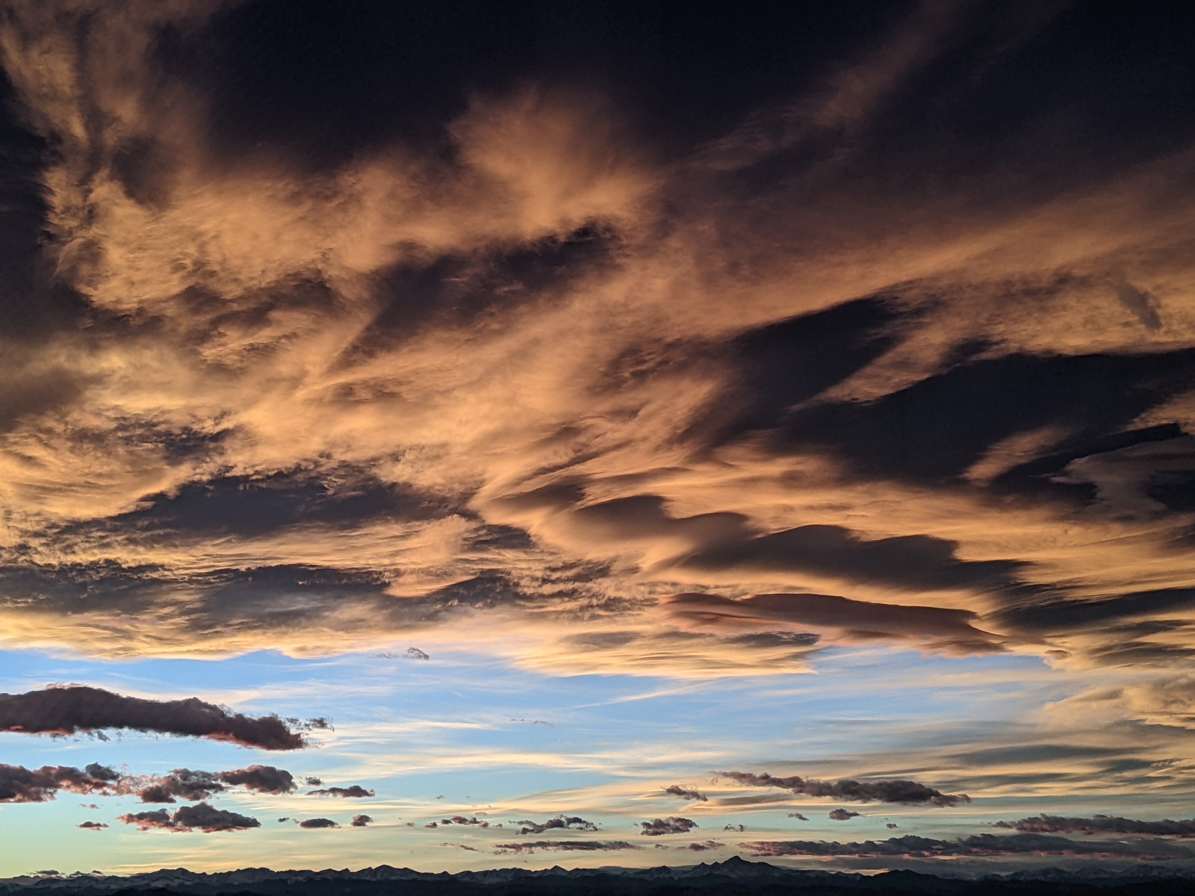
Unsettled weather to continue through the weekend
Thursday, May 4, 2023
Temperatures near sixty degrees and a mix of sun and clouds are over the Steamboat Springs area late this Thursday afternoon as pieces of a storm to our west move overhead. More showers are on our doorstep and will move through the area within the next hour. After a mostly sunny Friday morning, additional pieces of the storm will move overhead through the weekend with more shower chances and cool temperatures before nice weather returns to start the work week.
A storm currently centered near Nevada has ejected a wave of energy and moisture that began moving over our area this morning, leading to some brief early morning showers that reappeared around noon. Despite the sunshine this afternoon, high temperatures only reached our average of 60 F thanks to the cooler air associated with the approaching storm.
The initial wave of the storm will be northeast of our area by midnight after which we should see a cooler Friday with highs in the mid-fifties and a chance of afternoon storms.
Some energy and cooler air currently moving southward along the West Coast will reinvigorate the storm over Nevada even as another storm that just crossed the Dateline approaches the coast. The Nevada storm will be reluctantly forced eastward by the Dateline storm and will move overhead in pieces between Friday and Sunday nights before it finally clears our area by Monday.
High temperatures on Saturday will drop to the low fifties with even some snowflakes possible in town Friday night and an inch or two of snowfall accumulations at mid-mountain by Saturday afternoon as cooler air associated with the parent storm continues to seep into our area.
Temperatures will warm several degrees on Sunday, but the chance of afternoon and evening storms persist. By then, the Dateline storm is forecast to be in the Gulf of Alaska, and after mixing with some cool air from the north, move southward along the West Coast as it strengthens.
This storm is eventually forecast to move near or over our area by midweek, though weather forecast models disagree if it moves overhead or north of our area. They do agree, however, that winds ahead of that storm will bring drier skies and warming temperatures to start the work week.
Be sure to check back to my next regularly scheduled weather narrative on Sunday afternoon where I’ll have more details on the incoming midweek storm and whether it will be close enough to bring possibly significant precipitation.
Add comment
Fill out the form below to add your own comments


