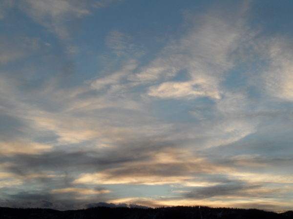
Gorgeous spring weather to start the work week
Sunday, April 30, 2023
A glorious spring day is over the town of Steamboat Springs this Sunday early afternoon with sunny skies and temperatures already at sixty degrees. Monday will be even warmer but with a chance of some afternoon clouds and a stray shower. Shower chances increase further on Tuesday, decrease a bit for Wednesday and then increase substantially on Thursday as a storm from the west approaches and temperatures cool.
Our current gorgeous weather is courtesy of a a ridge of high pressure centered over the Intermountain West and sandwiched between troughs of low pressure off the West Coast and over the Great Lakes. The area of low pressure to our west is forecast to elongate southward along the coast and form an eddy that spins off the California coast through midweek.
The southerly flow ahead of the eddy will raise temperatures almost ten degrees above our average of sixty degrees on Monday, May Day, for the warmest day of the week. Some Pacific moisture accompanies the southerly winds on Tuesday, decreasing high temperatures by several degrees and increasing shower chances during the afternoon and evening which is a sure sign that spring has arrived.
Shower chances tick downward on Wednesday before increasing substantially on Thursday as a wave of energy and moisture eject out of the eddy thanks to another Pacific storm just now crossing the Dateline. High temperatures will drop from the mid-sixties on Tuesday and Wednesday toward our average by Thursday, with the rain showers likely up to 10,000′ possibly leading to flooding concerns on the Yampa Valley floor.
But cooler air accompanies the wave by Thursday night, with snow levels dropping to around mid-mountain as the atmosphere dries with little or no snow accumulations. High temperatures on Friday will drop into the mid-fifties with continued afternoon and evening showers chances behind the departing wave.
Meanwhile at least part of the storm currently near the Dateline is forecast to move through the Gulf of Alaska and dislodge the West Coast eddy late in the work week. Right now, that eddy is forecast to move across the Great Basin on Friday and near or over our area on Saturday for more shower chances and another day in the mid-fifties.
The forecasts currently have a nice Sunday as what remains of the eddy clears the area, but be sure to check back for my next regularly scheduled weather narrative on Thursday afternoon where ‘ll have a better idea of the coming weekend weather.
Add comment
Fill out the form below to add your own comments


