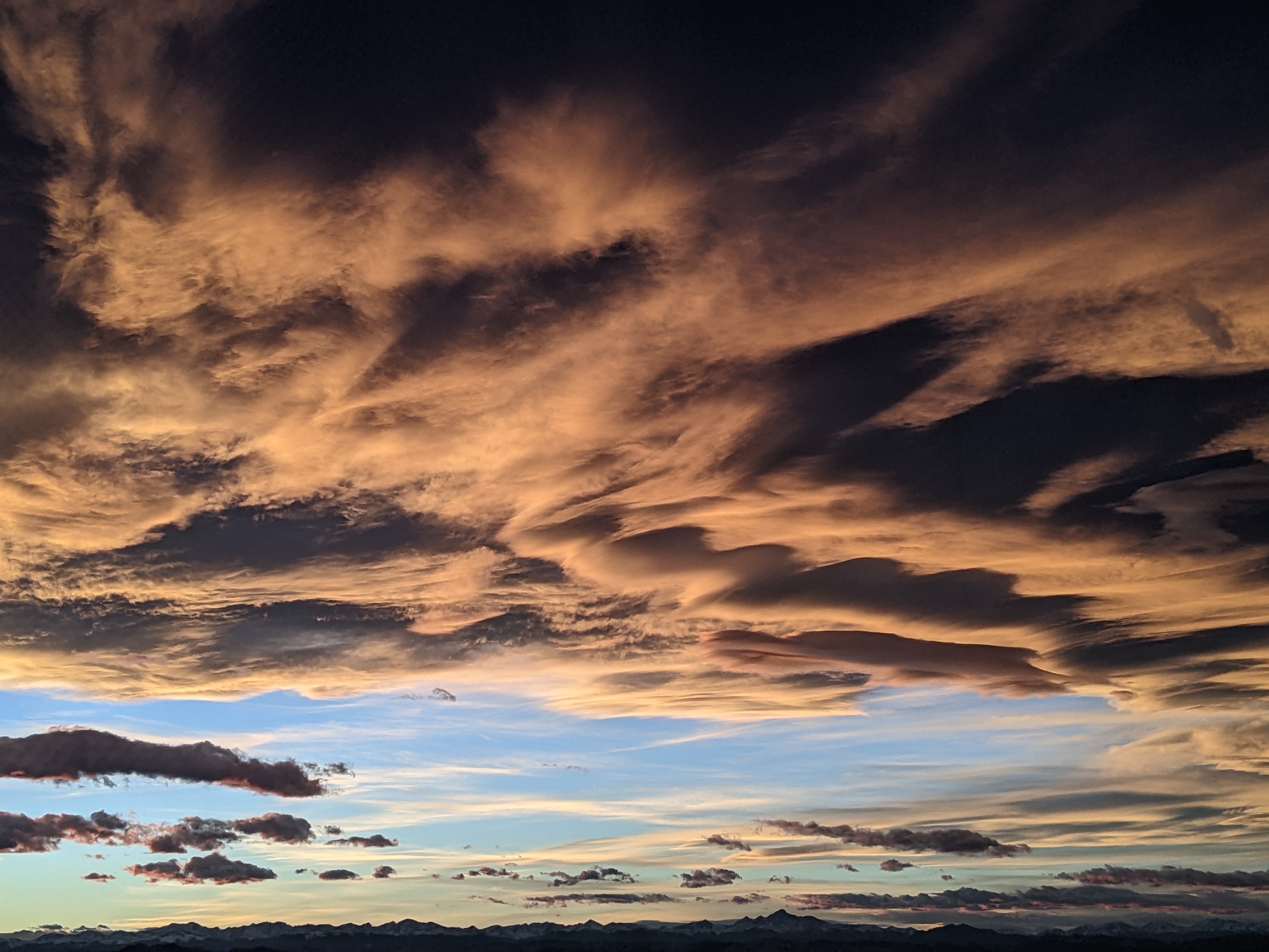
Another round of unsettled weather starts later Monday
Sunday, April 23, 2023
Temperatures are in the upper-thirties under rare mostly sunny skies in the town of Steamboat Springs this Sunday noon. Be sure to soak up the sun today as more unsettled weather returns later Monday and lasts into Wednesday, though this round won’t be as cold as the weather we experienced last week. But after a break on Thursday, cold and snowy weather looks to return for Friday.
The Steamboat Ski Resort’s mid-mountain powdercam showed an additional 5” from another cold storm between Friday and Saturday morning, matching what I measured on my deck. The cold was noteworthy, and the low temperature record on Thursday morning of 8 F recorded in 1927 and the coldest high temperature of 30 F recorded in 1920 are in jeopardy, though we will have to wait for the not-yet-posted official measurements from the climate monitoring station near the high school.
There is still a large area of cold low pressure spinning in the Gulf of Alaska, and a transient ridge of high pressure ahead of a couple of ejecting waves has brought the sunny weather over the area today. Though it will feel much warmer than most of the preceding work week, high temperatures in town are only expected to be in the upper forties, still around ten degrees below our average of 57 F.
Clouds will come and go tonight and tomorrow before the first relatively warm and weak wave brings chances for rain or a rain-snow mix in town later Monday and Monday night, with several inches of accumulating snow possible at mid-mountain.
The stronger second wave is forecast to move southeastward across the Great Basin on Monday and form an eddy near the Four Corners area on Tuesday, bringing a strong cold front through our area during the day. We should have all snow in town by later Tuesday with up to several inches of accumulation possible by Wednesday. Of course, higher elevations will do better, with another 5-10” possible before the storm departs the area.
Incidentally, the Front Range and its adjacent foothills are favored for heavy precipitation when an eddy is near the Four Corners region, thanks to the counterclockwise circulation around the eddy forcing moist winds from the east up the Rocky Mountain barrier. This so-called upslope will make a trip to Denver Tuesday afternoon quite difficult as not only Rabbit Ears Pass but the I-70 and I-25 corridors will be affected by periods of moderate to heavy precipitation through Wednesday morning.
As the eddy clears Colorado, we will see a break in the weather from later Wednesday into Thursday before parts of a storm currently near Kamchatka eventually bring another round of unseasonably cold air and snow to our area around Friday.
And though obviously subject to change, current forecasts have a ridge of high pressure and nice spring weather moving over the West behind the Kamchatka storm sometime around the following weekend or soon thereafter. I’ll know more about that as well as discuss the likely Friday snowstorm in my next regularly scheduled weather narrative on Thursday afternoon.
Add comment
Fill out the form below to add your own comments


