Cool temperatures and unsettled weather to persist through the weekend
Thursday, April 20, 2023
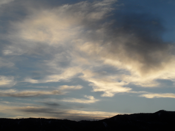
After a mostly sunny morning with a chilly start, skies are clouding over in the town of Steamboat Springs this Thursday noon with temperatures in town only near thirty degrees. The wintry weather which started Tuesday night will be overhead through the first half of the weekend, with snow showers today giving way to another round of significant snows on Friday and Friday night. Snow showers will taper off on Saturday with temperatures grudgingly warming on Sunday ahead of another storm system for early in the following work week.
After the 5” of snow that fell on Wednesday as observed on the Steamboat mid-mountain powdercam, Steamboat Springs woke up today to temperatures around 9 F under mostly clear skies, with the record low of the day of 8 F in 1927 in jeopardy and dependent upon the not-yet-posted official measurement from the climate monitoring station near the high school.
The wintry weather is not going away anytime soon as a large area of low pressure in the Gulf of Alaska continues to shed storms that move over our area in favorable cool and moist northwest flow. High temperatures in town are forecast to be mired in the thirties today and tomorrow, and near forty degrees on Saturday, which are well below our average of 56 F.
And while we will see snow showers this afternoon as any surface heating further destabilizes the atmosphere with another inch possible on the hill, that changes tomorrow as a quick moving storm creates moderate to sometimes heavy snow showers Friday afternoon and overnight. Snowfall rates as high as an inch per hour will make driving difficult over Rabbit Ears Pass, and by Saturday morning there could be several inches of new snow in town and 5-10” at mid-mountain of the Steamboat Ski Resort, for those willing to hike.
Snow showers will end in town on Saturday and taper off during the day at higher elevations as the storm departs. Temperatures are forecast to warm into the mid to upper-forties on Sunday with some morning sun, with afternoon and evening showers a possibility with minimal or no accumulations as surface heating again destabilizes the atmosphere.
Temperatures warm another few degrees on Monday even as another storm from the northwest approaches later in the day. Early indications are this storm will be comprised of a couple of waves, with the strongest moving overhead on Tuesday with another round of significant snows possible.
So be sure to check back for my next regularly scheduled weather narrative Sunday afternoon to see how much snow we received from the Friday storm and what we may expect form the next early week weather-maker.
Add comment
Fill out the form below to add your own comments


