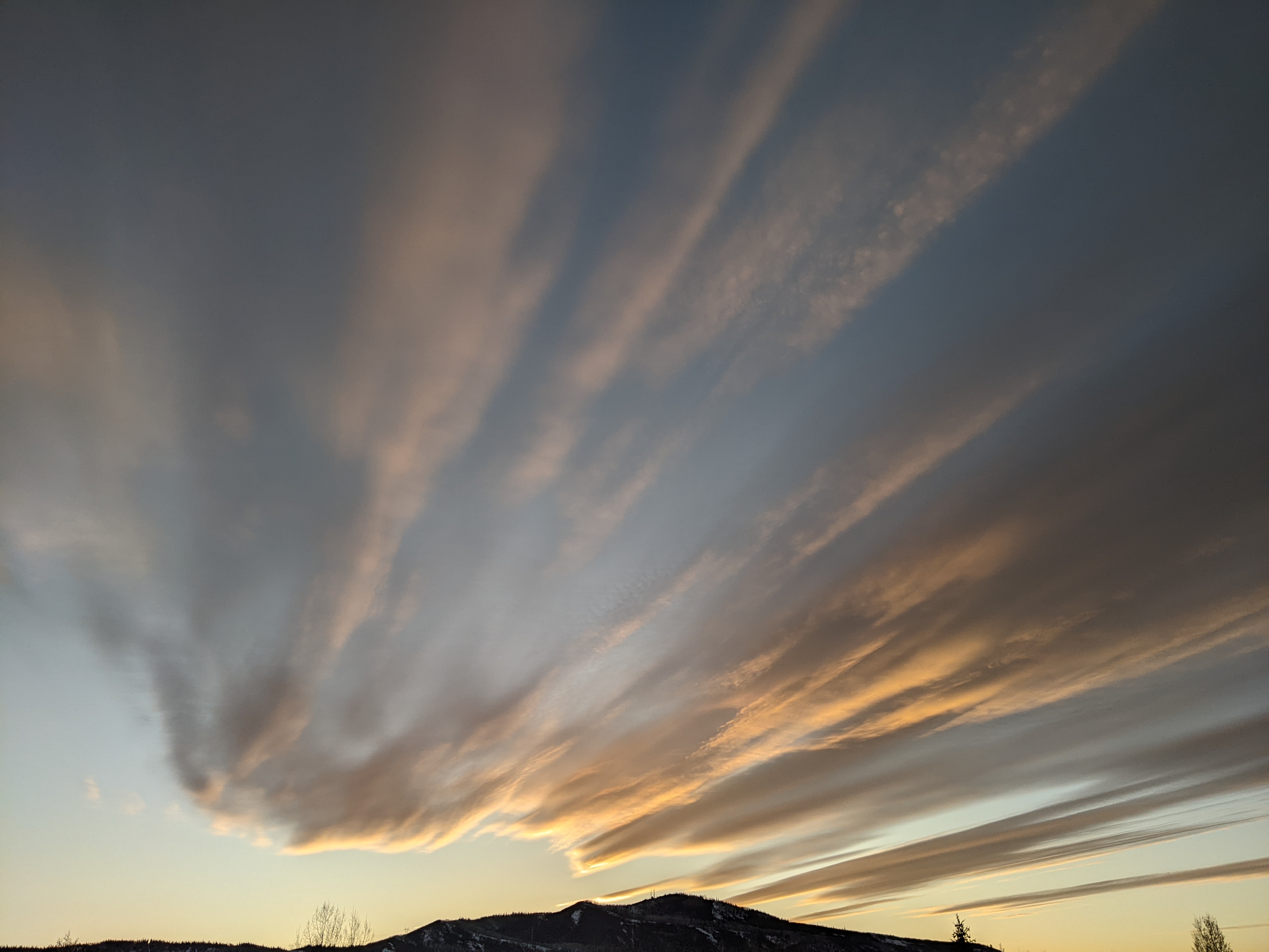
Short breaks in snowfall later today and Saturday
Thursday, March 2, 2023
Temperatures are in the mid-twenties in the town of Steamboat Springs and mid-teens near the top of the Steamboat Ski Resort late this Thursday morning under lightly snowing skies. We will see a short break in the wintry weather that has been over the area this past week later today before a modest storm quickly moves through on Friday. Another short break is advertised during the day Saturday before we see chances for snow from Saturday night through the beginning of the next work week.
The storm which dropped incredible amounts of snow to our west is now quickly scooting along southern New Mexico and will be through Texas by Friday morning. Mammoth Mountain, for example, reported an incredible 65” in the three days ending yesterday, and Arizona Snowbowl reported a monster three feet this morning!
Our snow reports were underwhelming by any measure, though we did pick up an inch after the morning report today at mid-mountain and two inches up top as shown on the powdercams. The snows have stopped for now and we may see some clearing today, especially at the lower elevations, before a quick-moving storm in favorable northwest flow moves through the area on Friday. The bulk of the predicted 3-6” for the Saturday morning mid-mountain ski report should fall during the day Friday with with the rest falling in the evening and tapering off by Saturday morning.
Some sun is currently forecast during the day Saturday, and that will be our last break before unsettled weather returns for an extended period starting Saturday night thanks to another large and complex storm forecast to develop off the Pacific Northwest coast Saturday and loiter there in some fashion through at least midweek.
Similar but slightly different than the last storm cycle, energy and moisture ejecting out of the storm will move across the West in winds generally from the west and west-southwest direction. As the first wave approaches our area Saturday night, winds will increase with average winds speeds approaching 40 mph on the mountain and gusts twice that. While the strongest winds are forecast for the overnight, they may only decrease to 30 mph by Sunday morning with gusts again about twice that, possibly leading to some more lift issues early in the day.
Luckily the winds are forecast to subside during the day as snows pick up, and while we won’t see much snow on the Sunday morning report, we could see 2-5” fall during the day. However, even at this short range, weather forecast models are wavering on how much moisture moves overhead and the location of the best storm energy.
The Pacific Northwest storm is forecast to loiter there through at least midweek as ejecting storm energy is replenished by more incoming Pacific energy. This forces a stationary front to set up shop across parts of Nevada, Utah and Colorado, with the front drifting north ahead of ejecting energy and south behind it. Our snowfall will eventually be determined by the location of the front and how much moisture each ejecting wave carries.
So lots of uncertainty regarding snow amounts, but the cool and unsettled weather looks likely. Stay tuned to my next regularly scheduled weather narrative on Sunday afternoon where I’ll hazard some snowfall guesses and take a peek at what lies beyond the wintry start to the work week.


