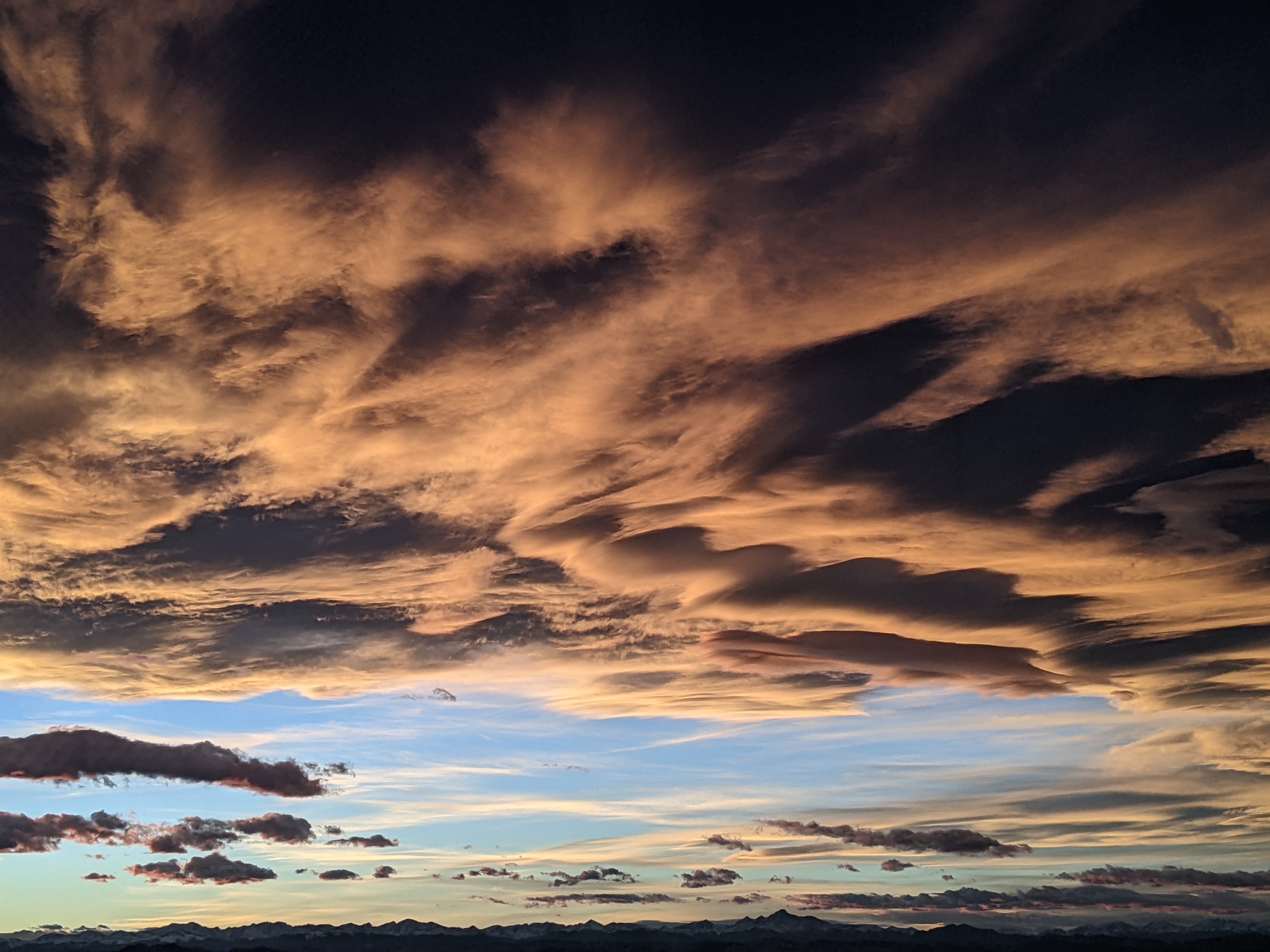
Warming temperatures to start the weekend after snow showers tonight
Thursday, February 23, 2023
Briefly sunny skies are over the Steamboat Springs area on this cold Thursday late-morning with temperatures in town and near the top of the Steamboat Ski Resort around eight degrees. After another round of snow showers starting this afternoon and lasting into Friday, relatively quiet weather with warming temperatures is forecast for the first half the weekend. But the break will be short-lived as a storm moving to our south will restart the snow showers later Sunday.
Most of the monster storm that affected parts of the country from coast to coast is still currently centered over Pacific Northwest coast. While the Utah ski resorts did very well from this storm on Wednesday, and the southern and some central Colorado ski resorts posted two day totals approaching two feet, the Steamboat Ski Resort only mustered an inch at mid-mountain by Wednesday morning and an additional three inches this morning, along with a lot of wind.
This was a disappointing storm for us, and a busted forecast by me, as a couple of crucial ingredients for snowfall were absent. Not only was the atmosphere drier than expected thanks to some dry air that was sucked into the massive storm as an ejecting wave moved overhead, but the strong winds from the south and southwest scoured the pool of low-level cold air in the Yampa Valley that would have lifted those winds and created snowfall in an overruning event.
So now, while most of the storm is still to our west, we’ve seen some sun this Thursday mid-morning ahead of another couple of weak waves of snowfall ejecting from the parent storm that will start this afternoon and last into Friday. Snowflakes should start falling later today, and thanks to the generally unfavorable winds from the southwest and warming atmosphere, we might only see 1-4” of snowfall for the Friday morning mid-mountain report with another inch or two possible in the morning.
We may see a brief period of sun behind these waves on Friday afternoon before an even weaker wave brings the chance for some more light snow showers later Friday night and into Saturday morning with minimal accumulations.
Meanwhile the monster storm is still to our west and is forecast to move south along the California Coast on Saturday before being forced eastward into Arizona early Sunday and the Four Corners region later Sunday by another incoming Pacific storm.
We may see some periods of sun by Saturday afternoon and stars Saturday night, but clouds will thicken and lower through the day Sunday as the storm swings along the southern Colorado border. Snow showers should start later in the day and persist through the overnight and part of the day Monday as winds behind the storm finally swing around to our favorable northwest direction for the first time in a week.
Snowfall amounts are likely to be modest, and will be dependent upon how much moisture is in the northwest flow behind the storm and how long that northwest flow persists. And behind that storm, the weather forecast models are predicting that next incoming and possibly significant Pacific storm to be overhead by midweek. So check back on Sunday afternoon for my next regularly scheduled weather narrative where I’ll be discussing the upcoming unsettled work week.
Add comment
Fill out the form below to add your own comments


