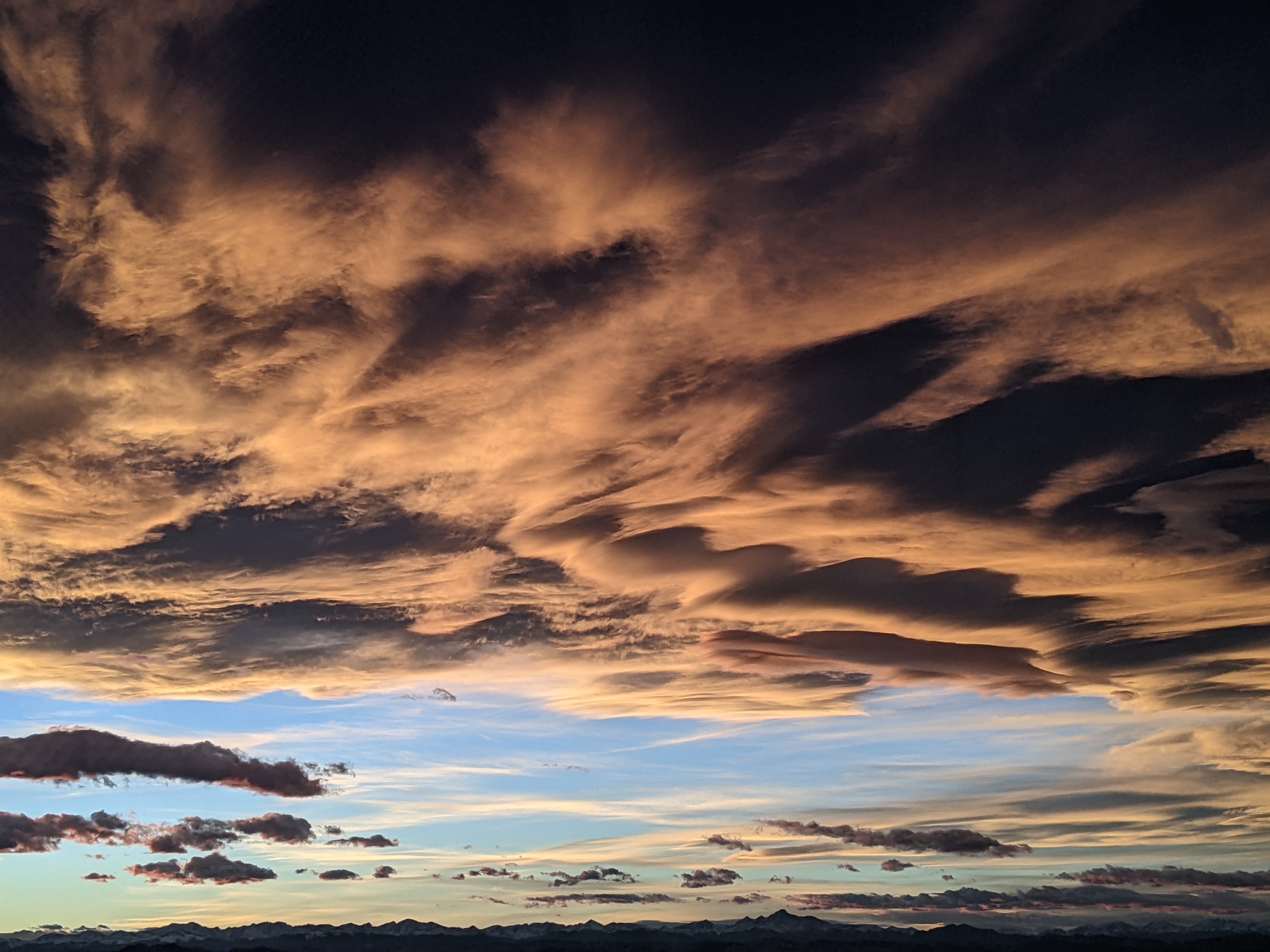
Snowy week coming up
Sunday, February 19, 2023
Temperatures are in the low twenties in the town of Steamboat Springs and eight degrees near the top of the Steamboat Ski Resort late this Sunday morning under lightly snowing skies. The snow showers are currently tapering off and will end today before more chances for snow reappear for most of the work week. After warmer early week temperatures, a significant storm is forecast from later Tuesday into Thursday morning that will bring another cold arctic air mass overhead by later Wednesday.
Currently, a ridge of high pressure is over the eastern Pacific and an eddy of low pressure is off the Baja Peninsula. A chunk of cold air originally from Siberia will ride over the ridge of high pressure today before crossing the Pacific Northwest coast on Tuesday. This wave is currently drawing in some moist subtropical air moving northward along the western side of the Pacific ridge, and will also mix with more cold air from Alaska tonight and western Canada tomorrow as it moves over the top of the ridge and then down its eastern side.
The end result is a large and powerful storm that will bring significant snowfall to our area from later Tuesday into Thursday morning. Ahead of the storm, snow showers will taper off this afternoon before being restarted by a subtle wave of energy in breezy northwest flow on Monday. Showers may end for a time behind the wave, or not, as energy ejecting out of the massive Pacific Northwest storm begins moving over our area. Winds will turn to be from first the west on Monday and then the southwest by Tuesday ahead of the storm as temperatures rise toward freezing in town on Monday and mid-thirties on Tuesday and likely Wednesday.
We could see 2-5” of snow by the Tuesday morning mid-mountain ski report, and snow showers during the day Tuesday should be quite light as the atmosphere warms and stabilizes thanks to the winds from the southwest. Meanwhile, the storm to our west begins moving into the Great Basin on Tuesday. The cold arctic air mass associated with the storm will sink through Wyoming on Tuesday before encountering the southwest winds ahead of the storm which will stall the cold front near or over our area on Wednesday.
While winds from the southwest are usually not favorable for our area, we have already seem several instances of heavy snowfall this season as the moist air from the southwest overruns the cold air to the north. So right now I would expect good snowfall from Tuesday night into Wednesday and again later Wednesday into Thursday along and behind the cold front, with snowfall quickly becoming light and fluffy behind the front Wednesday night. We could see 5-10” of snowfall at mid-mountain by the Wednesday morning ski report, and another 8-16” by the cold Thursday morning report.
There is a fair bit of uncertainty in the evolving weather as these large storms often end up behaving differently than forecast even a day or two in advance. So enjoy the snowy week, and I’ll be back with my next regularly scheduled weather narrative on Thursday afternoon with a review of the storm totals as well as a discussion of what currently looks like an unsettled start to next weekend.
Add comment
Fill out the form below to add your own comments


