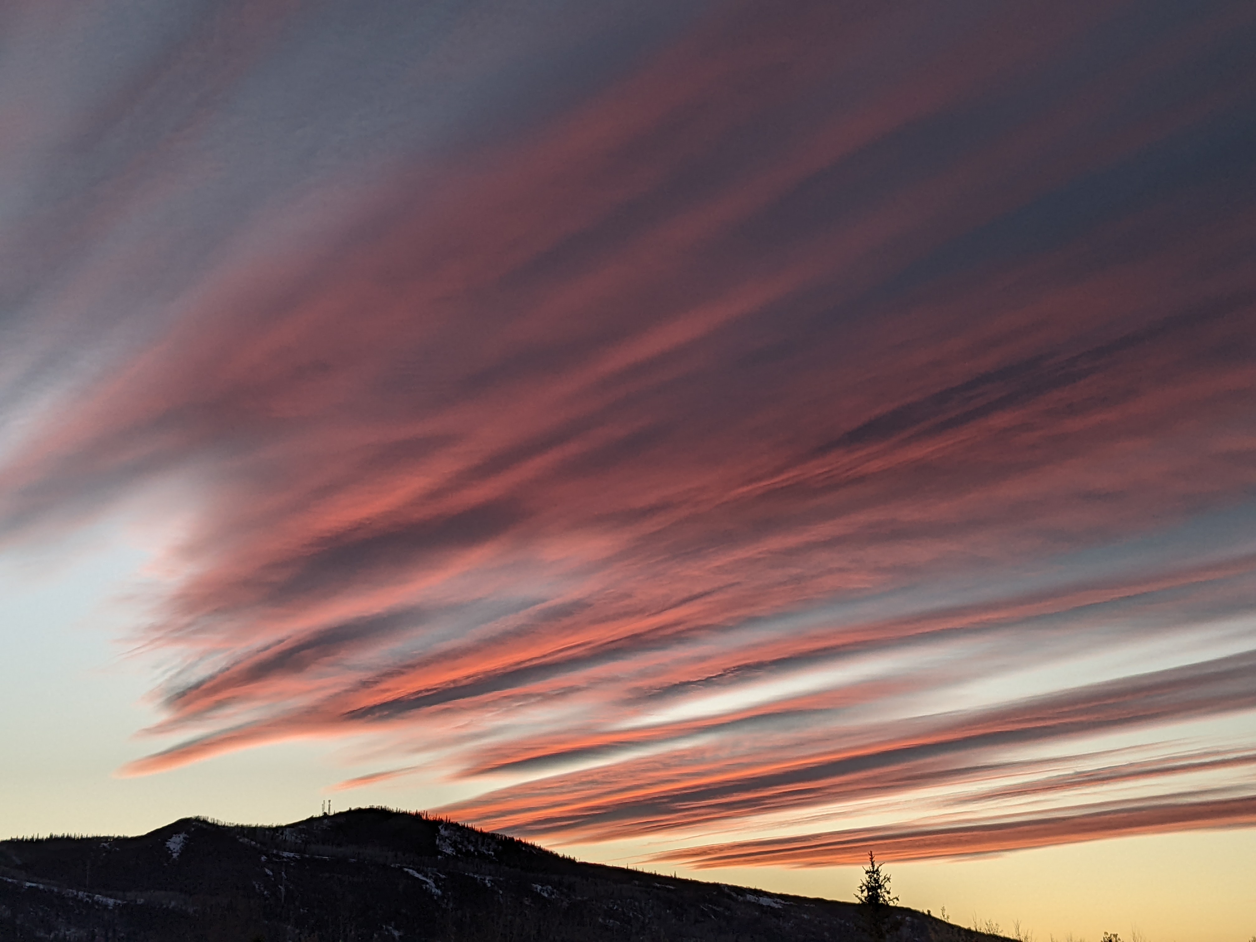
Nice weekend for the Steamboat Springs Winter Carnival
Thursday, February 9, 2023
A cold day that started snowy but gave way to peeks of sun is over the Steamboat Springs area late this Thursday afternoon. The fresh snow from last night will conspire with clearing skies tonight to produce very cold subzero morning temperatures for Friday, with those cold morning low temperatures slowly moderating through the weekend. But the cold mornings will be followed by plenty of sunshine for some beautiful winter days surrounding the 110th Steamboat Springs Winter Carnival which runs from yesterday through Sunday.
A storm containing some cold Siberian air brought 7” to mid-mountain and 9” to the top of the Steamboat Ski Resort this Thursday morning, with another 2” falling at mid-mountain during the morning. Behind the departing storm and ahead of an elongated area of low pressure extending from the Pacific Northwest Coast through the Gulf of Alaska and into Alaska, a ridge of high pressure is forecast to move through the Intermountain West through Sunday.
The ridge will bring dry weather with plenty of sunshine, with some passing clouds from time to time especially later Saturday and overnight. Clearing skies tonight should conspire with the fresh snow cover to produce low temperatures in the minus teens in town, well below our average of 5 F.
But the sun on Friday will warm temperatures into the twenties, which will still be below our average of 30 F. But we may reach into the thirties on Saturday ahead of possible afternoon cloudiness, with the low temperature of the day starting out around zero.
If clouds are overhead Saturday night, they will help insulate the surface of the earth like a blanket, so low temperatures will warm to above average for Sunday morning.
Meanwhile that area of low pressure in the Gulf of Alaska is forecast to split as it crosses the West Coast Friday night, with the southern part of the split forming an eddy that moves south across California over the weekend and then east across Arizona on Monday. The northern part of the split is forecast to move across Montana on Saturday and may bring a dry grazing cool front for our area on Sunday that will knock the high temperatures down a few degrees.
And while the southern eddy may eventually affect southern Colorado on Tuesday, we look to stay north of any weather until the next cold storm takes aim on our area for midweek.
This next storm is forecast to develop over the northwest Pacific as cold air from Siberia mixes with warm and moist subtropical air from the south before crossing the Dateline on Saturday. Another chunk of cold air from Alaska is then forecast to mix with the storm on Sunday before it moves across the Gulf of Alaska on Monday.
Right now, this significant and cold winter storm looks to affect our area around midweek, so enjoy the nice weekend and be sure to check back to my next regularly scheduled weather narrative on Sunday afternoon where I’ll have more details on our next storm and some snowfall guesses.
Add comment
Fill out the form below to add your own comments


