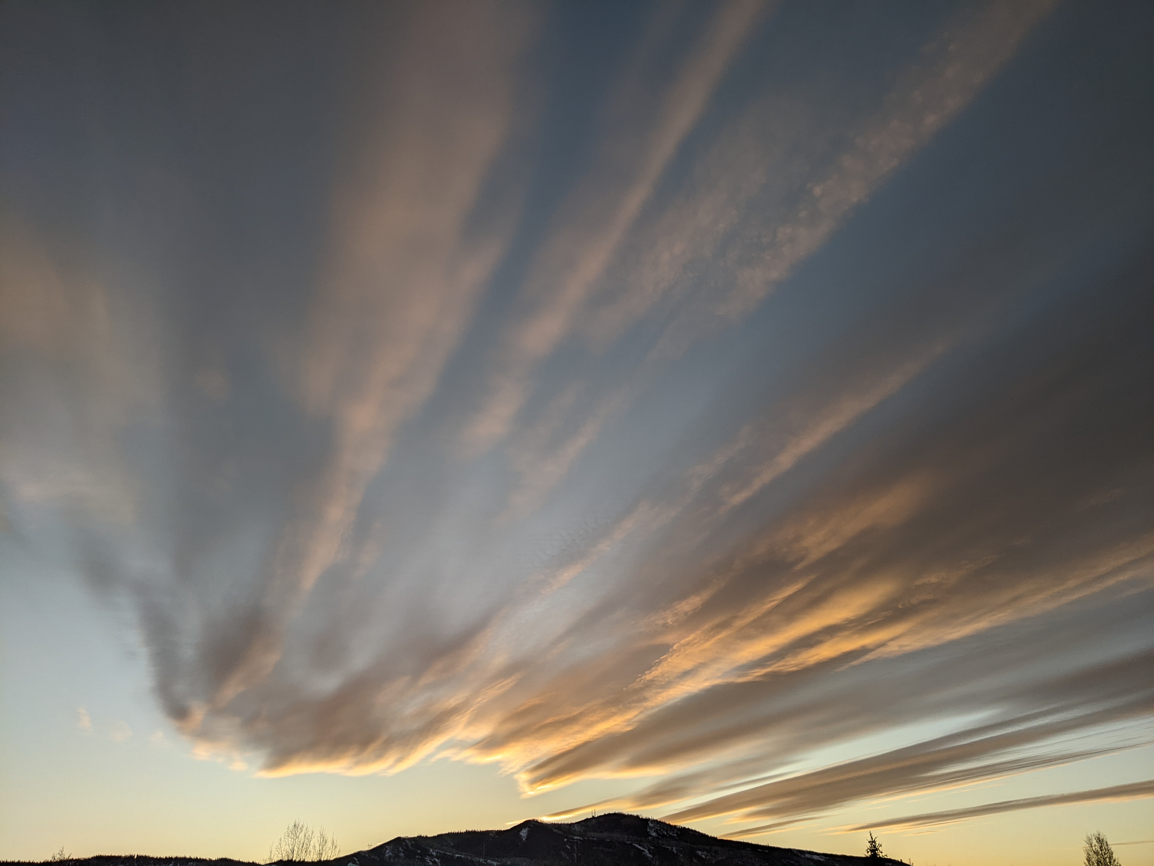
Storm cycle ends Monday afternoon
Sunday, January 29, 2023
Temperatures are in the upper twenties, right around average, in the town of Steamboat Springs this Sunday mid-afternoon along with passing snow showers which are more persistent at higher elevations. A storm to our west has split yesterday and we will see snows pick up again tonight and last into Monday afternoon as pieces of the storm move near before quite cold air and, believe it or not, mostly sunny skies are over our area on Tuesday. Pockets of moisture may keep clouds around for Wednesday and possibly Thursday though chances are the skies will stay dry.
Clockwise flow around a ridge of high pressure currently over the Eastern Pacific has conspired with the counter-clockwise flow around a deep vortex of very cold air over Hudson Bay to bring wintry weather to our area this week.
The final storm in this active pattern split as it traveled southward along the Vancouver coast yesterday, and the southern part of the split is currently located over northern California while the northern part is moving through the northern Rockies. A stationary front has formed near our area thanks to winds from the west-southwest ahead of the southern split overrunning the very cold air to our north associated with the northern split.
Snows will pick up in the vicinity of the stationary front as it approaches and stalls over our area tonight through Monday morning. Eventually, the cold air wins this battle and snows will wind down later Monday as the stationary front moves south through Colorado. In addition to the 2” that has already fallen on the mid-mountain powdercam by this Sunday afternoon, expect another 4-8” overnight and 1-4” during the day Monday.
High temperatures for Monday near the top of the Steamboat Ski area will likely occur at midnight tonight, with temperatures between 5-10 F first thing in the morning falling to below zero by sunset and likely below -5 F for the Tuesday morning low. High temperatures in town will likely be relegated to the low to mid teens on Monday, and along with a forecast of clearing skies by Tuesday morning, low temperatures on Tuesday could drop into the minus teens, especially along the river drainages.
But lots of sun on Tuesday will help with the cold, and a slowly building ridge of high pressure for the rest of the work week should allow high temperatures to rise each day to around or just above our average of 28 F by Friday. Pockets of moisture producing clouds are forecast to move through the ridge starting on Wednesday however, with the best chance for more sun looking like Thursday.
There is a chance for more snow around the start of next weekend, though weather forecast models have lately trended far weaker with the storm. So check back to my next regularly scheduled weather narrative on Thursday afternoon when I’ll have more details about the upcoming weekend weather.
Add comment
Fill out the form below to add your own comments


