Snows restart Sunday after several days of nice weather
Thursday, January 12, 2023
Temperatures are around twenty degrees in the town of Steamboat Springs and in the low teens near the top of the Steamboat Ski Resort under rare sunny skies late this Thursday morning. Snows will temporarily stop for several days as we head into the long Martin Luther King Day Jr. weekend before starting again on Sunday and lasting through most of the following week.
Before looking ahead, the last storm that started Tuesday and ended last night left far more snow that I anticipated in the Sunday weather narrative, leaving 18” at mid mountain and an incredible 34” up top, though winds yesterday adversely affected snow quality in most places on the upper mountain.
The Steamboat Springs area and associated north-central mountains have done very well from these relatively warm storms associated with decaying atmospheric rivers (long and relatively narrow streams of warm, moisture-laden air from the subtropics and possibly the tropics) this winter, despite winds being from the usually unfavorable southwest direction. While making for difficult weather forecasts, the moisture sure is welcome, with the snow water equivalent in our Yampa-White-Little Snake basin 56% above the 30 year median. The current moisture content is in the top 10% of the last 30 years and equal to what we usually see in mid-February!
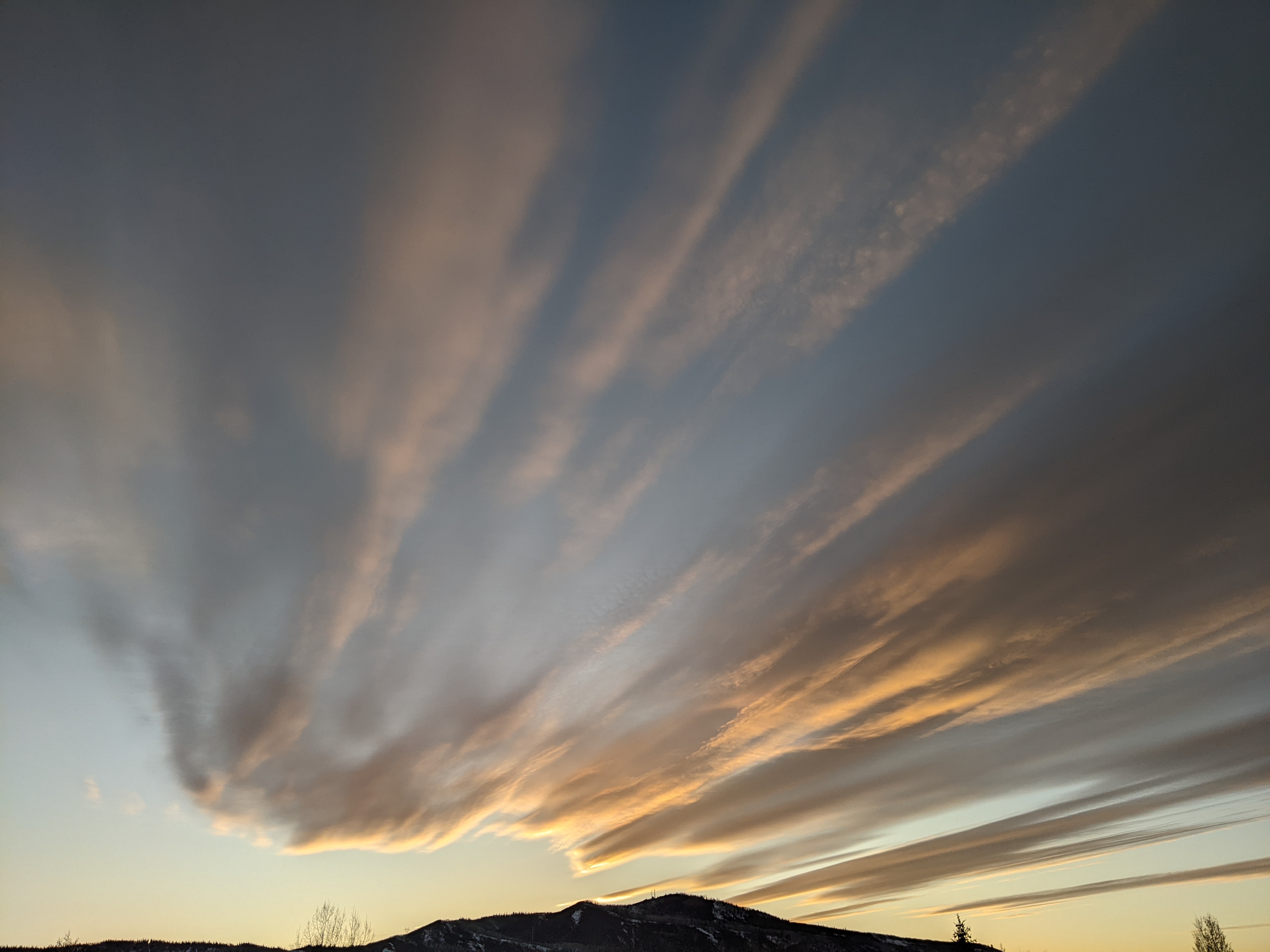
Now, a ridge of high pressure has formed over the Intermountain region ahead of a large storm currently extending south from the Gulf of Alaska to east of Hawaii and incorporating yet another atmospheric river. We’ll see a break in the snowfall through Sunday morning as the ridge of high pressure is forced eastward by the next storm, with more sun than not from today through Saturday before clouds increase in earnest on Saturday night ahead of the incoming storm.
This storm looks to come through in pieces, with the best chance for accumulating snows Sunday night. Unsettled weather with continued snow showers looks to follow for the beginning of the week before a piece of another large storm currently near the Dateline barrels into the West Coast on Monday and may affect our weather around midweek.
So enjoy the nice start to the holiday weekend, and be sure to check back on Sunday afternoon where I’ll have more details on the incoming storms along with some snowfall guesses.


