More snow on Tuesday and Wednesday
Sunday, January 8, 2023
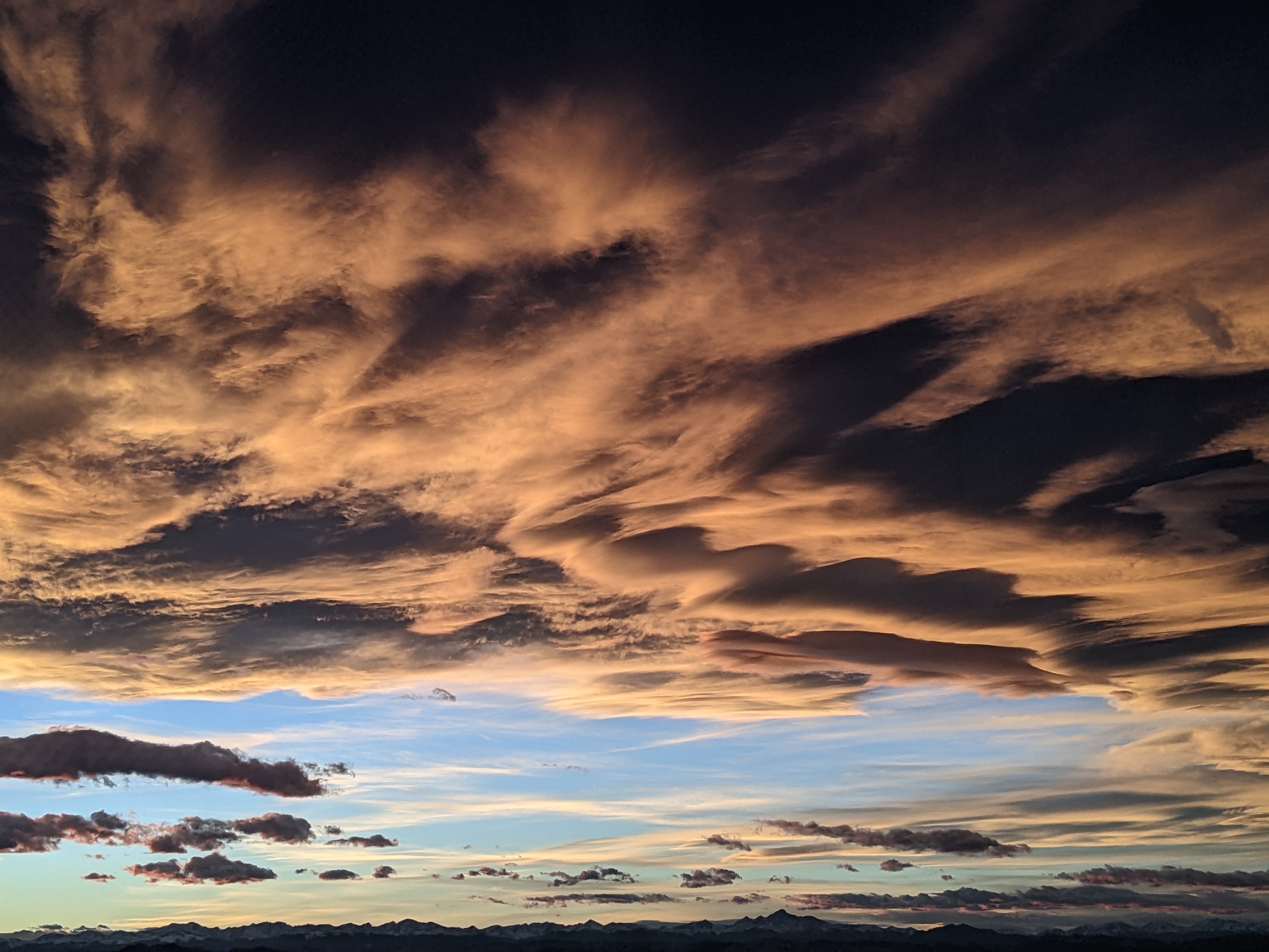
Temperatures are in the mid-teens at all elevations in the Steamboat Springs area with high clouds filtering the sunshine on this Sunday mid-morning. High temperatures will warm toward the thirties in town and the twenties near the top of the Steamboat Ski Resort today ahead of several Pacific disturbances that will bring good snowfall chances back to our area on Tuesday and Wednesday. The storms will be relatively warm, especially on Tuesday, before a ridge of high pressure builds over the Rockies and brings nice weather to our area starting on Thursday and lasting into next weekend.
A powerful storm currently located in the Gulf of Alaska has incorporated a relatively narrow stream of moisture from north of Hawaii along its southern end. This so-called atmospheric river will be carried inland first by several waves of energy rotating through the Gulf of Alaska storm and then the storm itself, even as it is replaced by and even stronger storm currently developing south of the Aleutian Islands.
Ahead of that, a nice day is in store today thanks to a ridge of high pressure just east of our area, with high temperatures in town reaching toward the thirties, about five degrees above our slowly rising daily average of 27 F.
The first disturbance ejecting out of the Gulf of Alaska storm will move by tonight behind the departing ridge of high pressure and will bring some clouds and snow showers to the higher elevations, with minimal accumulations expected.
We’ll see some more sun on Monday morning ahead of the next stronger disturbance that is forecast to move overhead from about Monday night through Tuesday afternoon. This disturbance has trended stronger in the last few weather forecast model iterations, though the timing of the best snowfall is uncertain, and I would expect 3-6” of accumulations at the mid-mountain snowstake.
The parent storm in the Gulf of Alaska is forecast to move bodily inland by the eastward-moving and still developing storm from south of the Aleutian Islands that is forecast to take its place. Unfortunately there is more weather forecast model uncertainty with this storm as it is forecast to intensify either over our area, with more snowfall, or just to our east, with less snowfall.
Best guess right now would be an additional 3-6” of snowfall that would occur mostly during the day Wednesday, with cooler temperatures filtering into our area during the storm and overnight. If the cooler air arrives in time, snowfall may become fluffier and less dense as the storm ends by Wednesday night.
A large ridge of high pressure is then forecast to build over the Intermountain West ahead of the still-developing Pacific storm currently forecast to make landfall along the West Coast late in the weekend. So right now, after the midweek storm, we should see more sun than not that looks to last into and possibly through next weekend. I’ll talk about that as well as the possible return of stormy weather in my next regularly scheduled weather narrative on Thursday afternoon.
Add comment
Fill out the form below to add your own comments


