Next storm lasts from Friday into Saturday morning
Thursday, January 5, 2023
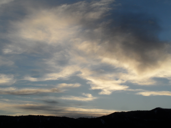
Temperatures are in the mid-teens at all elevations late this Thursday morning in the Steamboat Springs area with a rare appearance by the sun. Clouds will increase later today ahead of our next storm starting Friday morning and lasting into Saturday morning. Snowfall rates around an inch per hour at times may make travel difficult over Rabbit Ears Pass from about Friday noon into Saturday morning. The sun then makes a return visit behind the storm for later Saturday and Sunday.
A transient ridge of high pressure over the Rockies will soon be dislodged by a storm currently bringing a variety of wintry precipitation to the Sierras. While the storm will weaken as it crosses the Great Basin tonight, there will be plenty of it left to bring snowfall back to our area starting early tomorrow morning.
Light snow showers beginning Friday morning will give way to moderate and even heavy periods of snowfall by the afternoon as the cold front associated with the storm passes through by noon and winds shift to be from the southwest to our favorable northwest direction. Good moisture and cooling temperatures through Friday and overnight will drop temperatures at the top of the Steamboat Ski Resort to around ten degrees by Saturday morning, allowing the snowfall to become fluffier and less dense.
Snowfall rates as high as an inch to an inch and a half per hour will persist from Friday noon through the overnight before they quickly taper off Saturday morning. We’ll could see 7-14” of snowfall by the Saturday morning mid-mountain ski report, with around half of that occurring during the day Friday and an additional several inches after the report, depending on how quickly the atmosphere dries behind the storm. Travel over Rabbit Ears Pass will likely be difficult at times from about noon on Friday into Saturday morning.
The sun looks to make a return appearance, first at the lower elevations in the Yampa Valley as soon as Saturday afternoon, and more broadly on Sunday after a batch of clouds moves through Saturday night.
The next work week looks to start dry, though we may see some very light snow showers at the higher elevations early Monday as a weak storm passes north of our area. Another disturbance looks to affect our weather by midweek, so stay tuned to my next regularly scheduled weather narrative on Sunday afternoon where I’ll have more details about that possibility.


