Periods of snow possible through Thursday
Sunday, December 4, 2022
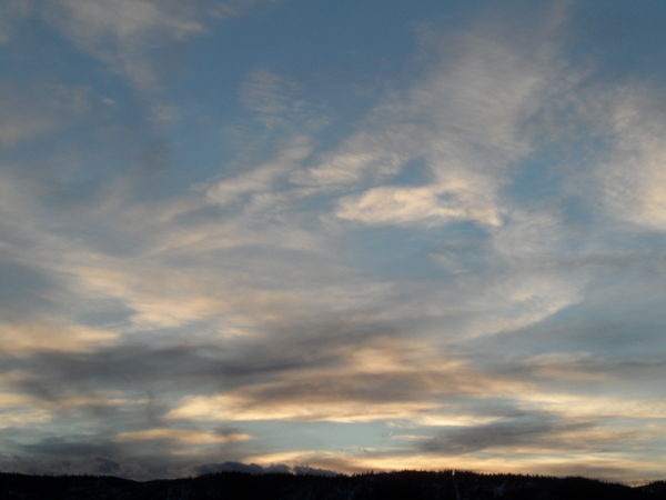
After three inches of snowfall was reported at the Steamboat Ski Resort this Sunday morning, temperatures have warmed into the mid-thirties over the Steamboat Springs area under cloudy skies this mid-afternoon. An active weather pattern remains over our area this week leading to periods of snow possibly lasting into Thursday, with a good round of snowfall likely during the day Monday and overnight.
An eddy of low pressure is currently off the California coast and a deep vortex of very cold air is spinning over Hudson Bay. A stationary front is forecast to form over our area on Monday as energy ejecting out of the California eddy from the west and southwest meets cold air to our north rotating around the Hudson Bay vortex.
Some light snow showers have already started near the top of Mt. Werner, and these showers are forecast to descend and become moderate at times through the day on Monday and overnight. The accumulated snow will be denser than our last week of snowfall as temperatures will be warmer thanks to the warmer air from the west and southwest ahead of the California eddy.
There may be only an inch or two on Steamboat’s mid-mountain powdercam by the 5 am Monday morning report, but snowfall rates should increase during the day and overnight as energy ejects out ahead of the California eddy and rides over the stationary front. We could see an additional 3-6” by sunset and that again overnight for a 6-12” Tuesday morning report. And it’s always worth checking Steamboat’s upper mountain powdercam as there is often more snow at the higher elevation.
Meanwhile, a storm currently near the Dateline, which may affect us by next weekend, is forecast to move eastward through the work week and eventually nudge what is left of the California eddy near or over our area by Thursday. While weather forecast models agree that snowfall at least diminishes later Tuesday, they disagree on whether it will end for a time or we see several inches of snowfall Tuesday night and during the day Wednesday.
There is additional uncertainty with respect to the track of what is left of the California eddy, with one model keeping the eddy south of our area with very little additional snow after Tuesday and others bringing the storm closer with a period of moderate snow showers later Wednesday.
They also disagree on how much cold air from a wave spinning around the Hudson Bay vortex gets incorporated into the decaying eddy on Tuesday night as it crosses the Great Basin, but agree on at least some cooling by Thursday morning with briefly clearing skies by the afternoon.
That Dateline storm looks to move over our area during next weekend, though there is a lot of uncertainty as to the details. A large chunk of cold air rotating around the Hudson Bay vortex is forecast to break away, move across Alaska, and eventually be incorporated into the storm as it moves across the Gulf of Alaska around midweek. However the amount of cold air and how it interacts with the storm is not agreed upon by the weather forecast models.
So enjoy the snowy work week, and I’ll be back with my next regularly scheduled weather narrative on Thursday afternoon with more details about the weather for the coming weekend.


